
Research Highlights
Oceanus Magazine
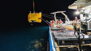
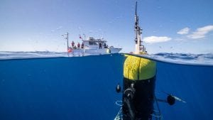
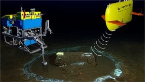
AUV Sentry leads the way in mapping and monitoring methane bubbling from the seafloor
40 years after helping reveal the Titanic, Alvin returns to the North Atlantic to document two other legendary shipwrecks
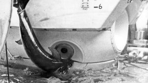
During a 1967 dive off Florida, a startled swordfish rammed the famed submersible Alvin—lodging its sword in the hull and forcing the crew to abort the mission
News Releases
Woods Hole, MA (June 16, 2021) — An innovative underwater robot known as Mesobot is providing researchers with deeper insight into the vast mid-ocean region known as the “twilight zone.” Capable of tracking and recording high-resolution images of slow-moving and…
Two papers explore the distribution and abundance of plankton and what conditions lead to big plankton blooms with vastly different potential impacts on the ecosystem.

The Institute of Electrical and Electronics Engineers (IEEE) elected Dana Yoerger as a 2021 fellow for the development of autonomous underwater vehicles for deep-ocean exploration and science.
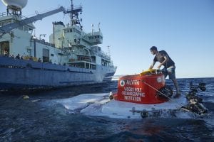
One of the world’s most prolific research submersibles will put 99% of the ocean floor within reach of science community when it relaunches in 2021
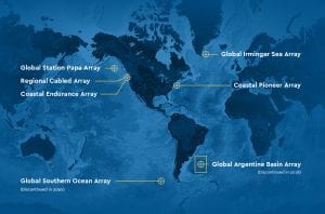
Woods Hole Oceanographic Institution (WHOI) and Oregon State University (OSU) jointly announced that OSU will assume responsibilities for the systems management of the cyberinfrastructure that makes data transmission for the Ocean Observatories Initiative (OOI) possible through September of 2023.
News & Insights

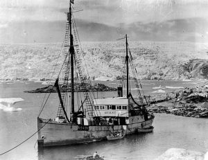
NSF program fosters collaboration between indigenous communities and traditional scientists, allowing WHOI’s autonomous vehicles to shed light on a changing Arctic
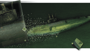
An investigative report this week in the LA Times features the work of WHOI’s marine geochemistry lab in identifying the discarded barrels and analyzing samples from the discovery.