Research Projects
Current Research Projects
Air-Launched Autonomous Micro Observer (ALAMO)
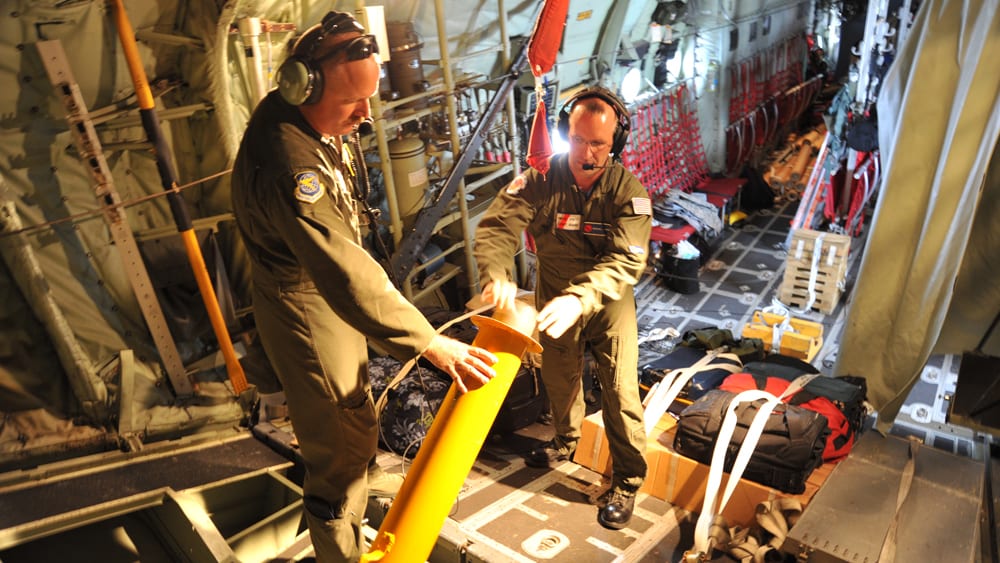
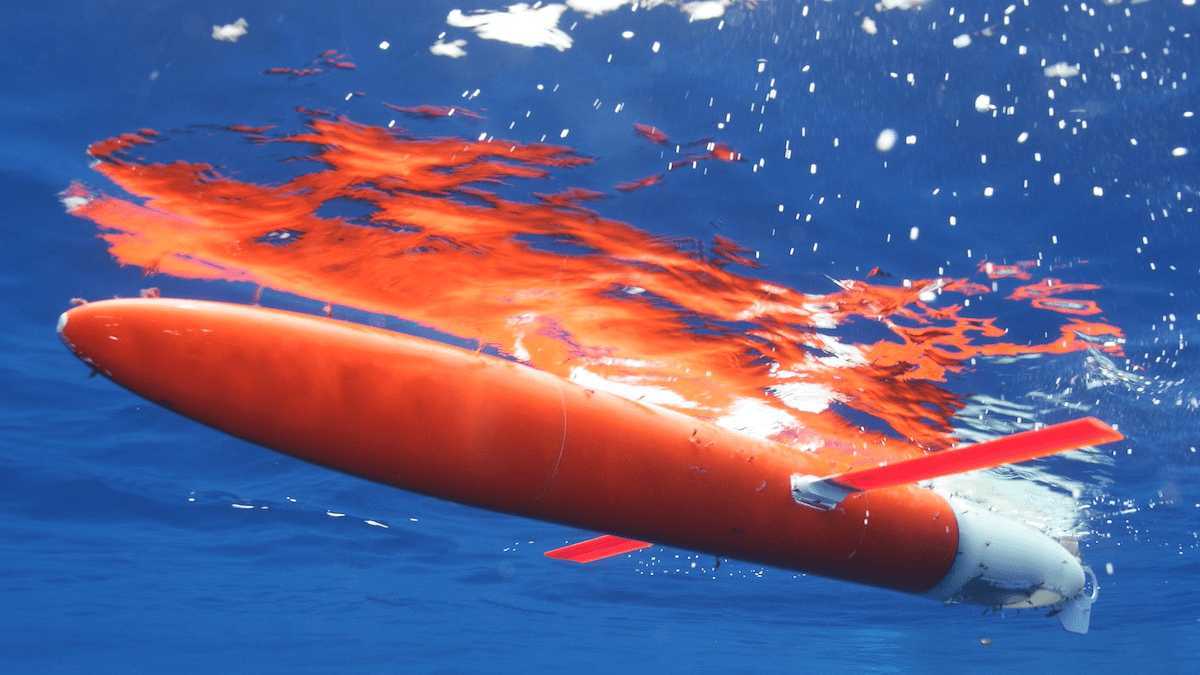
Air-Launched Autonomous Micro Observer (ALAMO) are compact, autonomous profiling floats. Their small size allows them to be conveniently deployed out of aircraft, making ALAMO floats ideal for the rapid-response deployments necessary for studying short-term phenomena. The WHOI ALAMO team uses these floats for several research applications, including hurricanes and Arctic change.
Beaufort Gyre Project
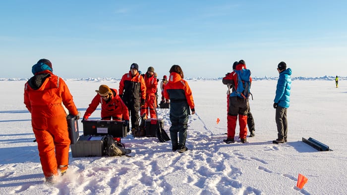
The Beaufort Gyre is one of the Arctic Ocean’s primary circulation features, storing and transporting freshwater, sea ice, and heat across the Canadian Basin, and is a critical part of the regional and global climate system.
Ice-Tethered Profiler Program
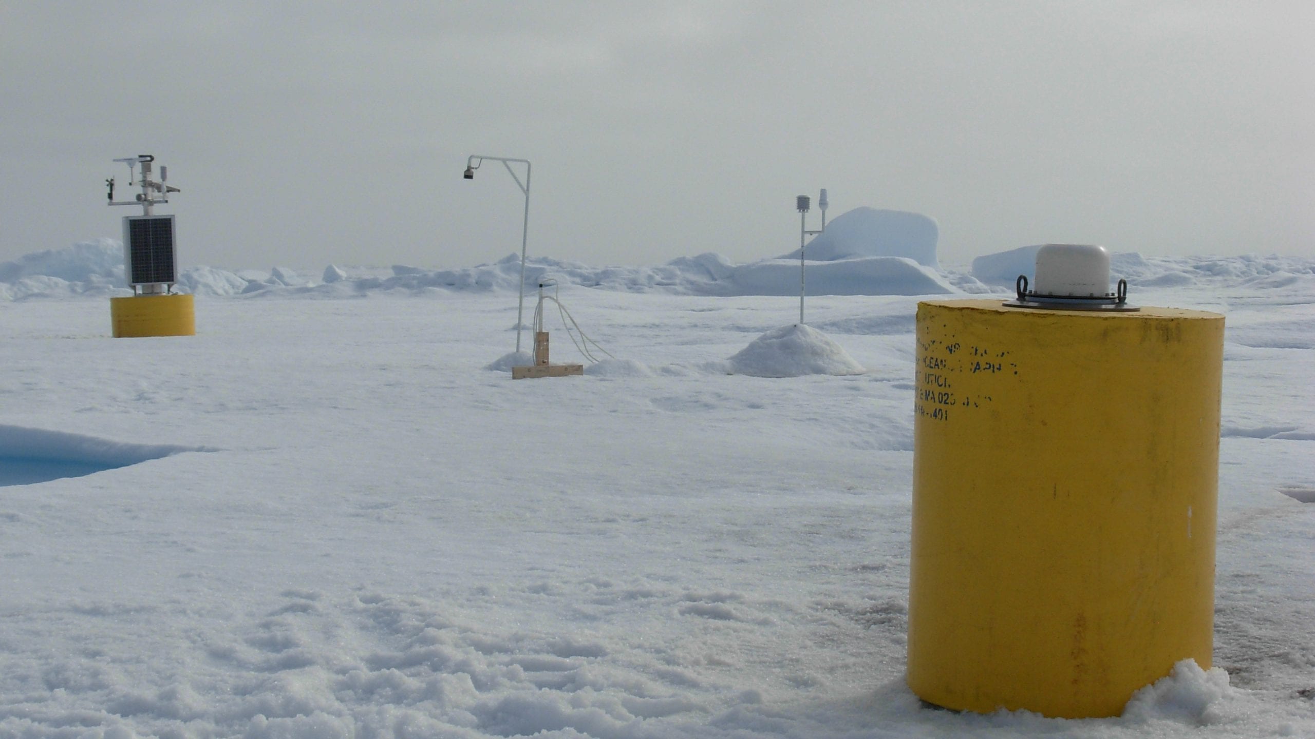
Recent studies indicate that the Arctic may be both a sensitive indicator and an active agent of climate variability and change.
OAFlux Project
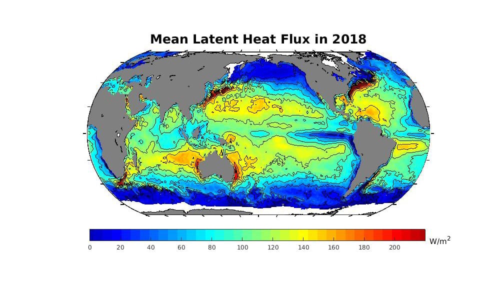
The OAFlux project is an ongoing research and development project for global air-sea fluxes.
Overturning in the Subpolar North Atlantic Project (OSNAP)
OSNAP is an international program designed to provide a continuous record of the full-water column, trans-basin fluxes of heat, mass and freshwater in the subpolar North Atlantic.
Spray Underwater Glider Operations
Spray autonomous underwater gliders are routinely deployed for months-long missions to collect high-resolution observations of the upper ocean. Find information about the gliders, visualizations of real-time and archived data, and links to publications and publicly available data here.
WHOI Argo Program
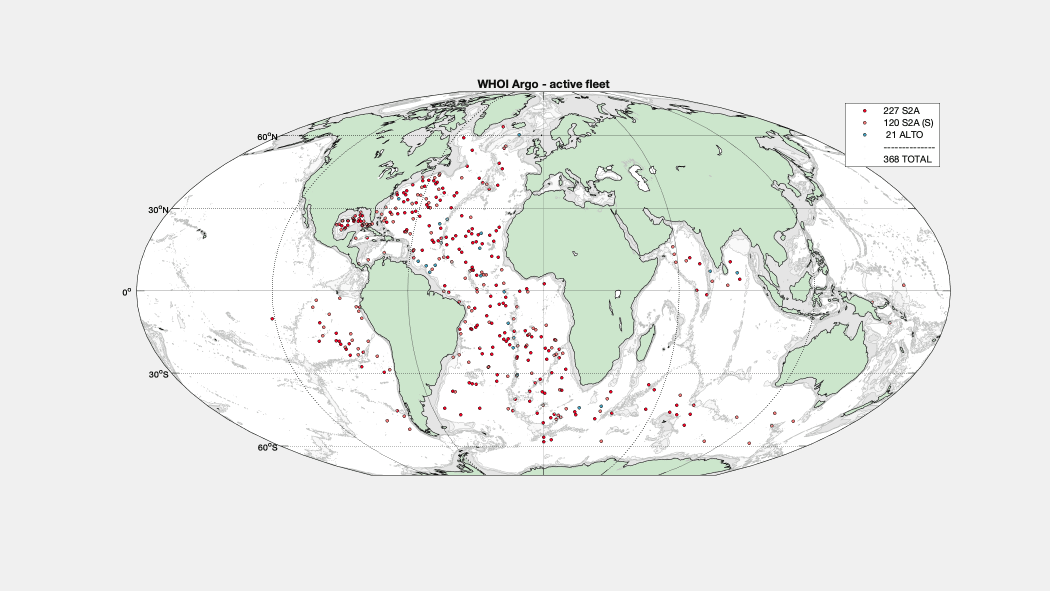
The Argo observational network consists of a fleet of 3000+ profiling autonomous floats deployed by about a dozen teams worldwide.
Additional Related Data Websites
BCO-DMO
BCO-DMO manages and serves oceanographic biogeochemical, ecological, and companion physical data and information developed in the course of scientific research.
Data Library and Archives
The Library is internationally recognized as defining current trends and practices in marine information sciences and bioinformatics.
GO-SHIP
GO-SHIP brings together scientists with interests in physical oceanography, the carbon cycle, marine biogeochemistry and ecosystems, and other users and collectors of hydrographic data to develop a globally coordinated network of sustained hydrographic sections as part of the global ocean/climate observing system.
Martha's Vineyard Coastal Observatory
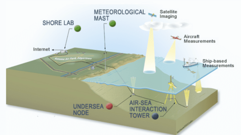
The Woods Hole Oceanographic Institution has built the Martha's Vineyard Coastal Observatory (MVCO) near South Beach in Edgartown, Massachusetts.
Ocean Observatories Initiative
OOI is an integrated infrastructure program composed of science-driven platforms and sensor systems that measure physical, chemical, geological and biological properties and processes from the seafloor to the air-sea interface.
R2R Data Repository
Access to and quality assessment of routine underway data collected by all oceanographic research vessels is a challenge for todays oceanographer.
Past Research Projects
ANDRILL SMS Mooring 2006
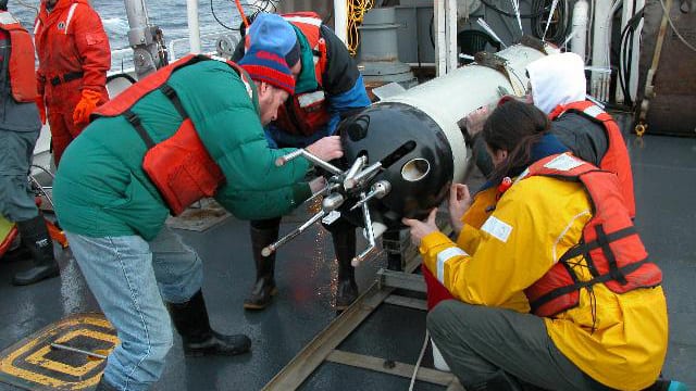
A current meter mooring was deployed on October 25, 2006 through the frozen surface ice of the Ross Sea in support of the ANtarctic geologic DRILLing (ANDRILL) project by David Harwood (University of Nebraska), Richard Limeburner (Woods Hole Oceanographic Institution) and Peter Webb (Ohio State University).
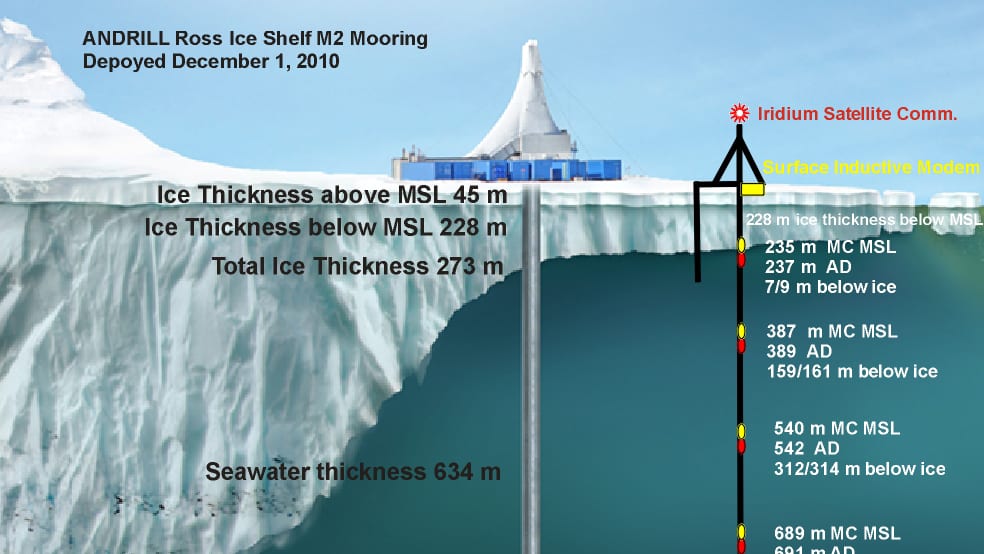
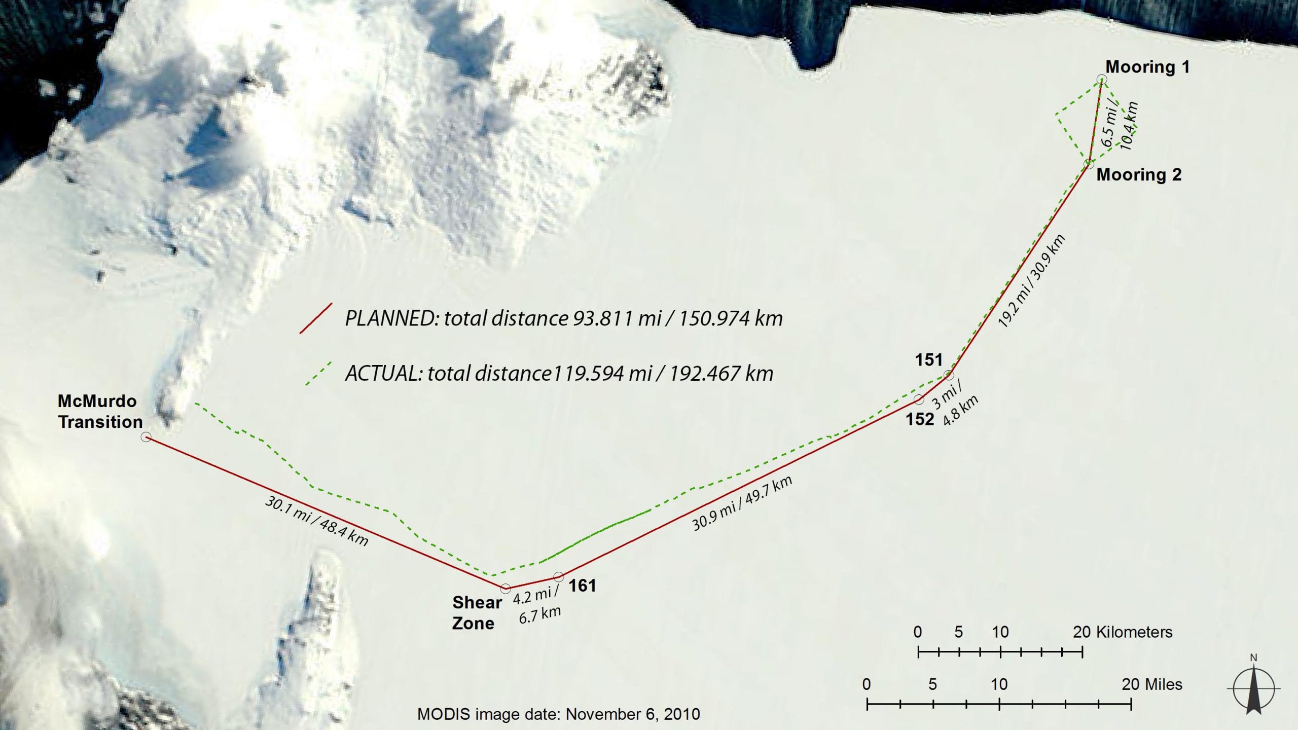
ANDRILL - Ross Ice Shelf Observatory 2011
The first moored real-time observations of velocity and water properties from a mooring deployed through the Ross Ice Shelf (RIS) at the ANDRILL Coulman High (CH) drill sites and also presents real-time data observations.
Line W
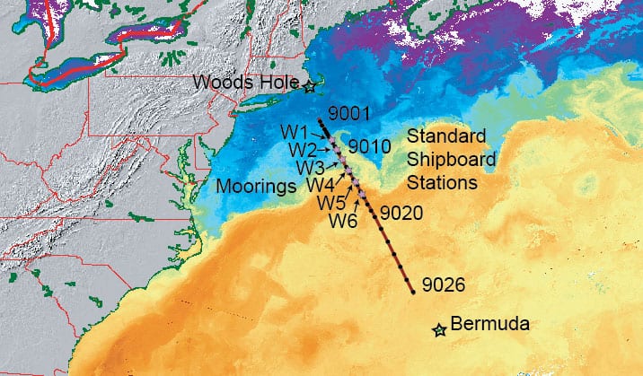
Located on the continental slope south of New England (near 40ºN, 70ºW) Line W is one component of a long-term climate observing system focused on the deep limb of the Atlantic meridional overturning circulation (MOC).
Ocean Mixing Group
The ocean mixing group at WHOI started working on the problem of quantifying ocean mixing processes more than a decade ago. First a deep ocean capable instrument was designed, constructed and tested. After proving a success, it became the workhorse of the group, and has been used in eight major research programs.
Modeling the Liquid Jungle: Biological-Physical Interactions in Isla Canales de Tierra and nearby Bahia Honda Bay, Panama
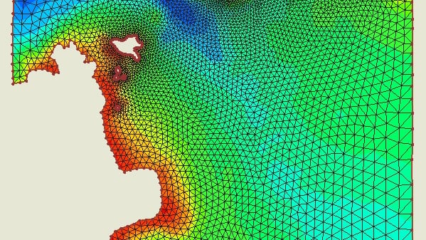
Liquid Jungle Laboratory (LJL) water properties and modelling.
Nantucket Sound Circulation - Observations, Analysis and Model Development
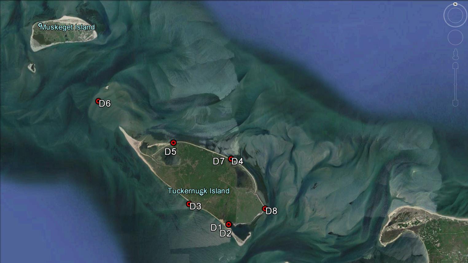
Moored measurements of velocity, pressure, temperature and conductivity (salinity) were made on a bottom tripod located at a depth of 26m approximately half way between Nobska Point, Woods Hole and West Chop, Martha’s Vineyard on five deployments during 2004 to 2007.
Palmer LTER Lagrangian Current Measurements
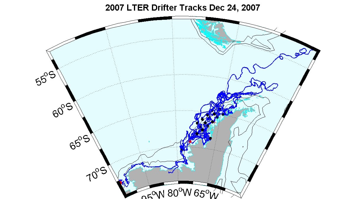
Palmer Antarctic LTER seeks to understand the structure and function of the Antarctic marine and terrestrial ecosystem in the context of physical forcing by seasonal to interannual variability in atmospheric and sea ice dynamics, including forcing by long-term climate change.
Red Sea Bottom Pressure Variability
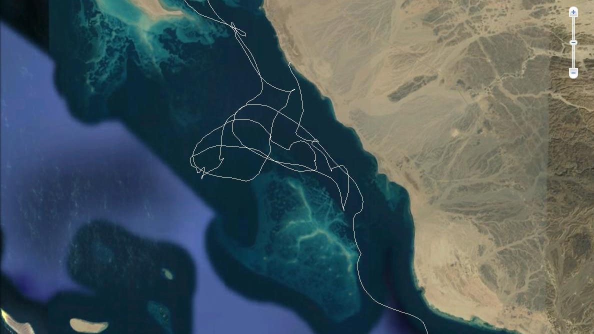
We are deploying an array of three bottom pressure/temperature/conductivity (PTC) instruments every 6 months at Jeddah (JP), Thuwal (TP) and Rabigh (RP) along the Saudi Arabian coast near the KAUST study site. (user: pressure / pw: ptc)
US GLOBEC: Frontal Exchange Processes over Eastern Georges Bank
The Northeast Peak field program studied frontal exchange processes over the eastern flank of Georges Bank and the exchange of water from Browns Bank to Georges Bank.

