
Research Highlights
Oceanus Magazine
Nereus—a mythical god with a fish tail and a man’s torso—was chosen Sunday (June 25) in a nationwide contest as the name of a first-of-its-kind, deep-sea vehicle under construction at the Woods Hole Oceanographic Institution. The vehicle, known until now…
Graduate student Anna Michel is adapting laser technology to the murky fluid environment and crushing pressures at depths of 11,000 feet. The goal is to develop an instrument that can directly measure the many elements spewing from hydrothermal vents just as they emerge from Earth?s crust.
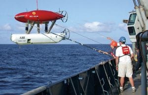
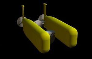
The pioneering deep-submergence vehicle, now 10 years old, continues to demonstrate its versatility on each new cruise.
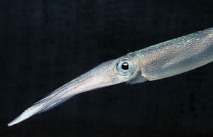
Squid fishing has increased substantially in the past decade, with no way to assess the continuing viability of the stock?until now.
News Releases
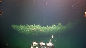
The Heroic Age Expedition, led by the Royal Canadian Geographical Society in partnership with Woods Hole Oceanographic Institution, reveals the famed Antarctic explorer’s last ship, Terra Nova in stunning detail
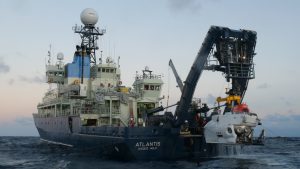
The Royal Canadian Geographical Society, in partnership with WHOI, will undertake “once-in-a-generation” expedition to survey Sir Ernest Shackleton’s Quest and Captain Robert Falcon Scott’s Terra Nova
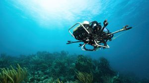
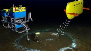
New underwater robot opens new possibilities in coral reef conservation by autonomously identifying biodiversity “hotspots”
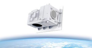
Satellite measuring land, polar, and coastal regions could launch by 2030
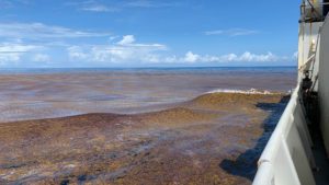
The findings point to warming ocean temperatures, shifting nutrient regimes, and changing circulation patterns as likely contributors to this emerging basin-scale redistribution of Sargassum.
News & Insights

NSF program fosters collaboration between indigenous communities and traditional scientists, allowing WHOI’s autonomous vehicles to shed light on a changing Arctic
An investigative report this week in the LA Times features the work of WHOI’s marine geochemistry lab in identifying the discarded barrels and analyzing samples from the discovery.