Data & Repositories
WHOI Supported Data Resources
Data Library and Archives
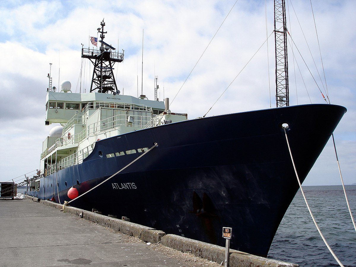
The Data Library and Archives (DLA) collects underway and vehicle data from cruises and dives of WHOI vessels, including stills and video from Alvin and Jason, multibeam data and navigation, legacy science data, and deployment metadata. The WHOI Cruise Database provides searchable metadata by cruise and links to cruise data. WHOI also submits cruise data to the Rolling Deck to Repository.
Contact: dla@whoi.edu
Woods Hole Open Access Server
The mission of the Woods Hole Open Access Server, WHOAS is to capture, store, preserve, and redistribute the intellectual output of the Woods Hole scientific community in digital form, including publications, grey literature, and data. WHOAS, an institutional repository (IR), is managed by the MBLWHOI Library as a service to the Woods Hole scientific community.
Contact: whoas@whoi.edu
Martha’s Vineyard Coastal Observatory
The Martha’s Vineyard Coastal Observatory (MVCO) is a research observatory located at South Beach and in the ocean a mile off the south shore of Martha’s Vineyard. The MVCO design is focused around a ‘node’ system, replicated at each of the observatory’s sites that allow flexible power and communications choices for supporting a wide range of sensors. By design, scientists can access their data and instruments in real-time, adjusting sampling parameters based on changing field conditions, extending our reach into the ocean on a sustained basis.
Seafloor Sediments Data Collection
The collection and analysis efforts of WHOI’s Seafloor Sediments Laboratory are available for browsing. A collection of more than 14,000 archived marine geological samples recovered from the seafloor. The inventory includes long, stratified sediment cores, as well as rock dredges, surface grabs, and samples collected by the submersible Alvin.
Contact: seafloorsampleslab@whoi.edu
Alvin Frame-Grabber
The Frame-Grabber imaging system mounted on the submersible Alvin provides Web access to video imagery co-registered with vehicle navigation and attitude data for shipboard analysis, planning deep-submergence research cruises, and review of data following research expeditions.
Contact: NDSF Information
Jason Virtual Control Van
A Web-based application that captures simultaneous video sources, vehicle data, scientific instrument data, and event data during operations of remotely operated vehicles, including Argo and Jason. As of October 2006, there are more than 1,700,000 catalogued images available from 27 research expeditions.
Contact: NDSF Information
Sealog
Sealog is an augmented event logger. During dives, observers use a multipurpose user interface to make event entries using either free text or hot buttons. Sensor data and framegrabs are co-registered at the time of each event. Periodic autosnaps trigger to fill in the narrative between manual user events. The result is a web browsable review of the dive, available onboard during the cruise and ashore following the cruise.
Alvin Sealog
Jason Sealog
Project Based Data @ WHOI
Biological and Chemical Oceanography Data Management Office (BCO-DMO)
Principal Investigators: Peter Wiebe, Danie Kinkade, Mak Saito, and Adam Shepherd
BCO-DMO serves investigators funded by the NSF Geosciences Directorate (GEO) Division of Ocean Sciences (OCE) Biological and Chemical Oceanography Sections and Office of Polar Programs (OPP). BCO-DMO manages and provides access to oceanographic biogeochemical, ecological, and complementary physical data and information generated through scientific research funded by these NSF programs. Contact: info@bco-dmo.org
Ocean Observatories Initiative
Principal Investigator: Jim Edson
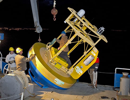
The OOI is funded by the National Science Foundation. The OOI provides free access to a wide range of data collected from around the world’s oceans. WHOI hosts the Program Management Office and is responsible for the Coastal Pioneer Array and the Global Irminger Sea and Station Papa Arrays. The University of Washington is responsible for the Regional Cabled Array and the cabled components of the Coastal Endurance Array. Oregon State University is responsible for the uncabled components of the Coastal Endurance Array.
Ice-Tethered Profiler Data
Principal Investigator: John Toole, Andrey Proshutinsky, Rick Krishfield, Mary-Louise Timmermans
The ITP program collects ocean profile data beneath ocean ice. While most ITPs are deployed in the Arctic Basin, some have been adapted for deployment in the Antarctic and in lakes. Status information and preliminary processed data are provided for the active systems and summary information and final data are provided from systems that have completed their missions.
Contact: itp@whoi.edu
Ocean Bottom Seismic Instrument Center
OBSIC’s mission is to support discovery of the earth’s internal structure and its dynamic processes such as earthquake faulting and volcanism using seafloor seismic measurements. OBSIC provides Ocean Bottom Seismographs, and the technical support to operate them, to the academic research community, and archives all data at the IRIS Data Management Center.
Contact: jcollins@whoi.edu
Argo Float Data
The Argo Program, launched in 1999, is a global array of floating robots that collect information about the physical state of the upper ocean, including temperature and salinity. Argo has passed its initial target of 3000 floats worldwide, with over 3900 floats currently taking measurements. The basic goal of Argo is to track where heat and salinity are changing across the global ocean, down to a depth of 2000 meters. Argo sends that information to scientists and operational agencies in real time to assist climate and ocean research and forecasting. See their launch positions, track the paths they have followed, and pinpoint the locations of detailed water column profiles.
Contact: argo@ucsd.edu
Objectively Analyzed air-sea Fluxes (OAFlux)
The project of the Objectively Analyzed air-sea Fluxes (OAFlux) is to develop enhanced air-sea heat flux analysis products for the global oceans. The product integrates satellite observations with surface moorings, ship reports, and atmospheric model reanalyzed surface meteorology.
Contact: oaflux@whoi.edu
Upper Ocean Processes Mooring Data
Data collected during the past 25 years by UOP surface moorings that measure meteorological conditions and physical properties of the upper ocean. Includes data gathered along the coasts and the open ocean during various weather conditions and from a range of geographic regions, from subarctic regions to the tropics.

