1969 Fuel Barge Florida
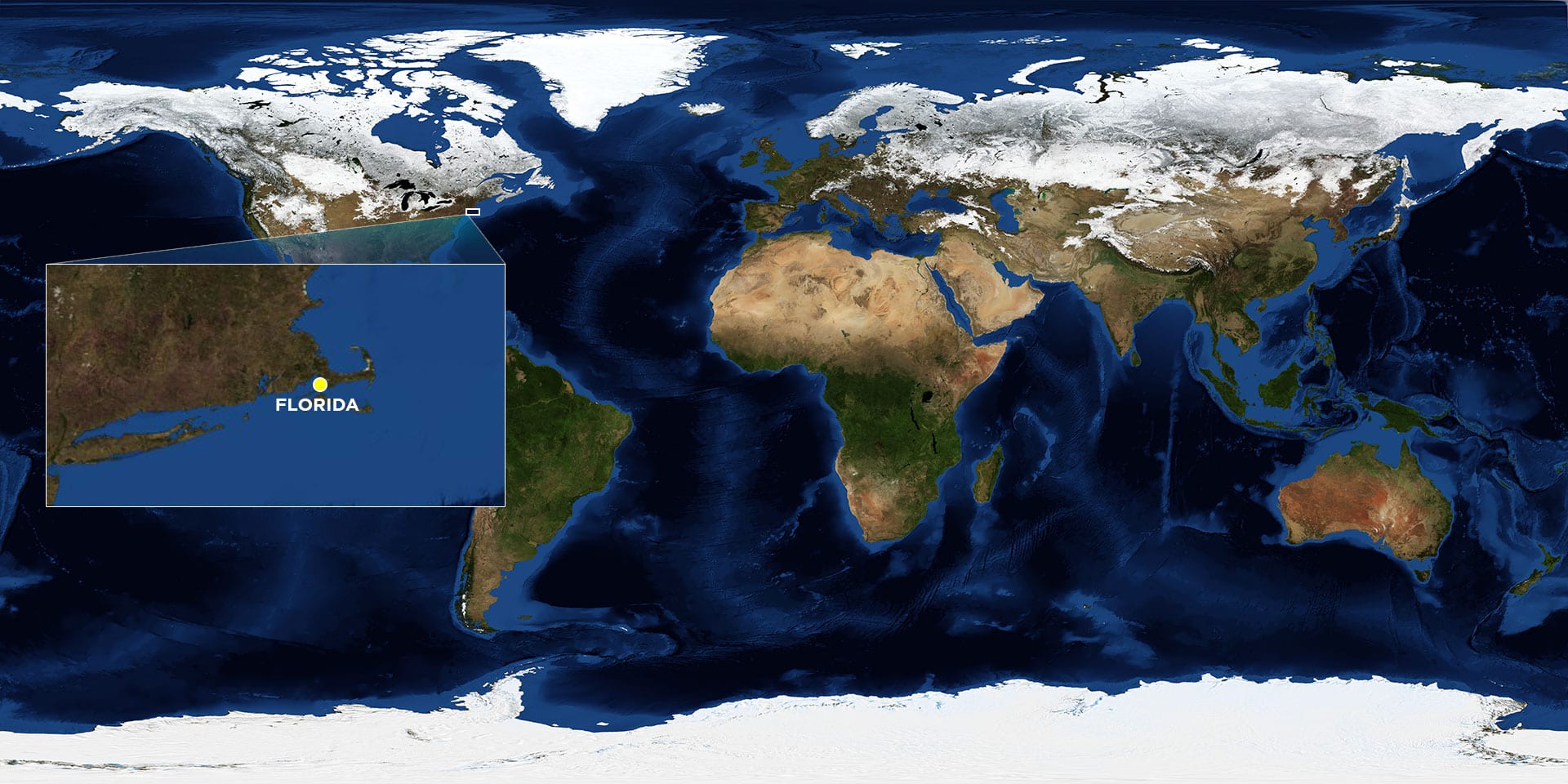
Location: Buzzards Bay, off West Falmouth, Mass.
Date: September 16, 1969
Lat./Long.: 41°35'57.60"N, 70°41'47.88"W
Material spilled: No. 2 fuel oil
Amount spilled: 189,000 gallons
Spill extent: **
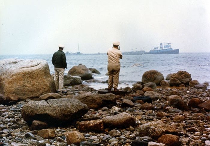
When the fuel barge Florida struck a reef in September 1969 it spilled about 4,000 barrels of No. 2 home heating oil into the coastal waters of Buzzards Bay. The spill was small by many standards and received very little media attention, but four decades later, hydrocarbons remain buried in marsh sediments and continue to influence the health and function of physical, chemical, and biological processes there. Work to study the spill has also had a profound effect on scientific understanding of how oil affects the ocean that continues to be felt today.
The spill heavily oiled one small cove in West Falmouth, Mass., near Woods Hole and the oceanographers at WHOI. That cove, Wild Harbor, has become the focus of more than 40 years of scientific research into the physical, chemical, and biological impacts of oil spills on coastal and near-shore ecosystems. Those efforts represent the first comprehensive, quantitative, and peer-reviewed studies into how oil affects the marine environment, including the transport and persistence of contaminants, the long-term health of plant and animal communities, and the very shape of an oiled coastline decades after a spill.
Scientists from WHOI and elsewhere continue to visit Wild Harbor to look for clues to how other oil spills might play out in the environment over years to come.


