2003 Tank Barge Bouchard 120
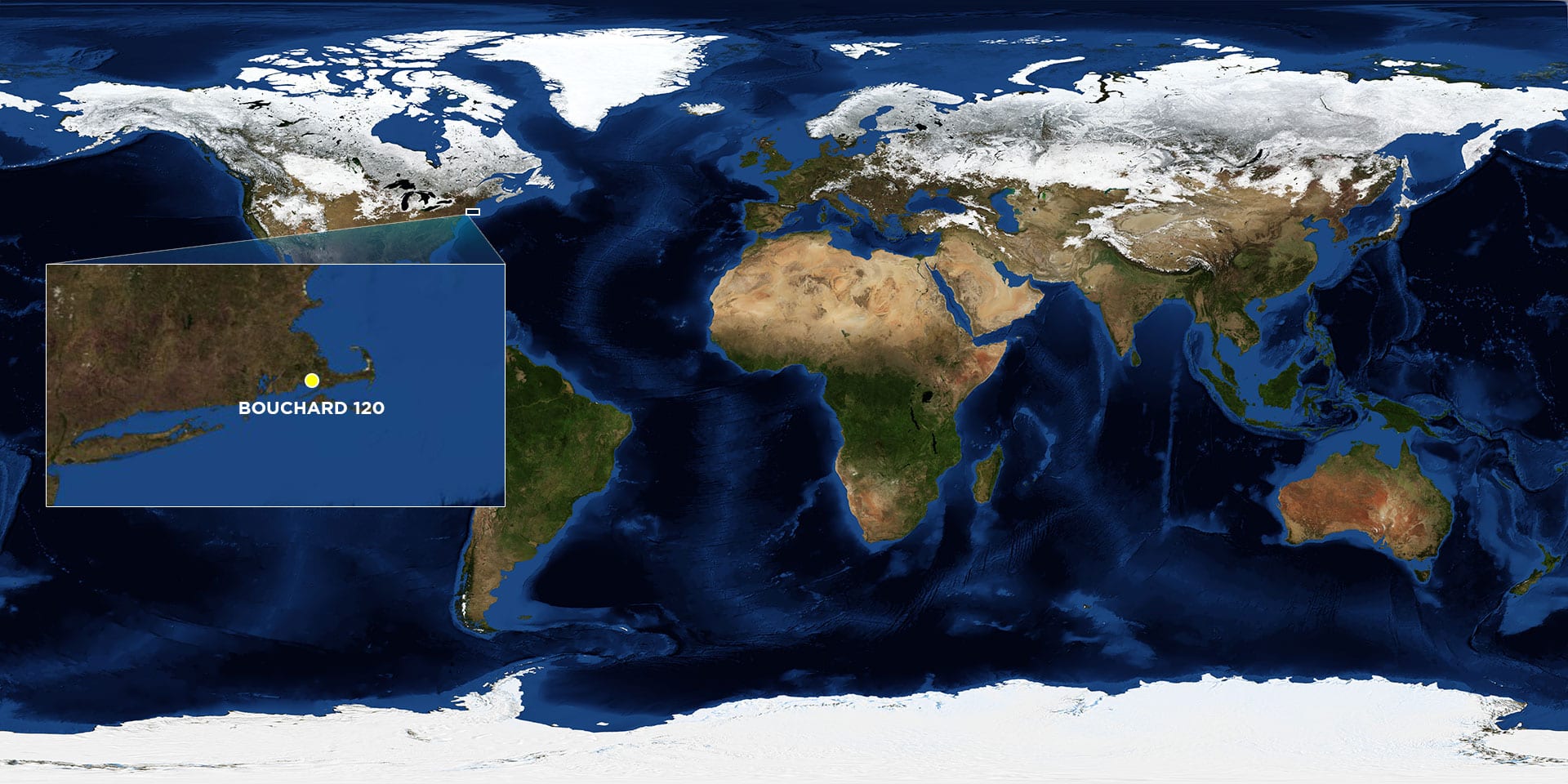
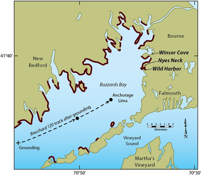
Location: Buzzards Bay off Westport, Mass.
Date: April 27, 2003
Lat./Long.: 41°29'22.10"N, 70°59'17.80"W
Material spilled: No. 6 fuel oil
Amount spilled: approx. 98,000 gallons
Spill extent: more than 90 miles of shoreline
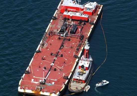
On April 27, 2003, the tank barge Bouchard 120 was delivering oil to a power plant on the Cape Cod Canal when it passed on the wrong side of a navigational marker at the entrance of Buzzards Bay and struck rocks south of Westport, Mass. The resulting 12-foot gash on the bottom of the hull released an estimated 98,000 gallons of Number 6 fuel oil into the water.
A large portion of the released oil washed ashore at Barneys Joy beach in Dartmouth the next day, but because of shifting winds and rough seas in the days following the spill, oil continued to wash ashore for more than two weeks, eventually oiling more than 90 miles of shoreline.
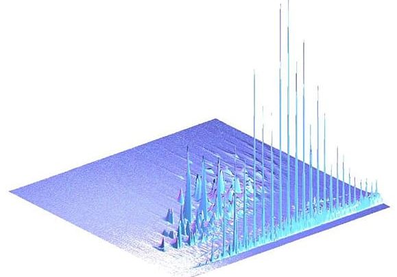
Early research showed that several groups of hydrocarbon compounds were initially lost to evaporation, water washing, and microbial degradation. Degradation of oil, however, appeared to stall in the first six months after the initial breakup.


