Ocean Topics

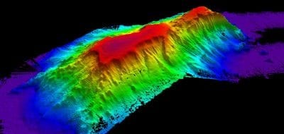
Bathymetric image of the East Pacific Rise, a mid-oceanic ridge located along the floor of the Pacific Ocean. (Image courtesy of Haymon et al., NOAA-OE, WHOI)
What are mid-ocean ridges?
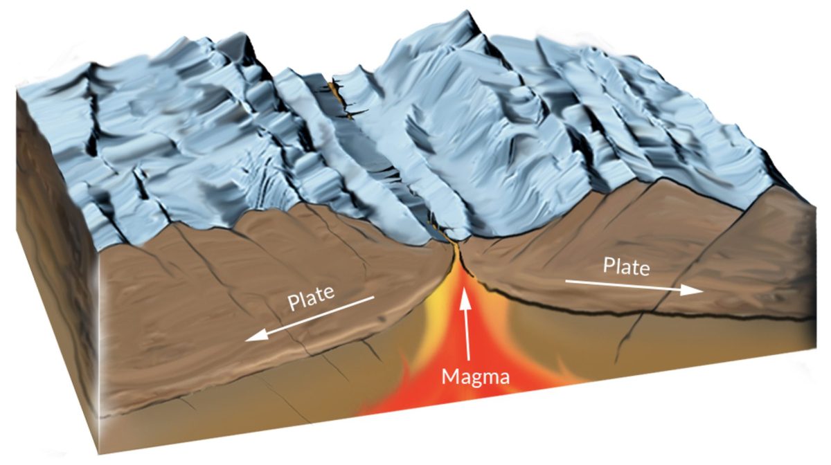
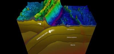
Mid-ocean ridges form the longest mountain range in the world, nearly all of which lies beneath the sea. These ridges crisscross the world’s oceans like stitches on a baseball; together they measure nearly 65,000 kilometers (about 40,000 miles) in length. Most of Earth’s volcanic activity occurs along mid-ocean ridges, which form along the seams between tectonic plates. As these large pieces of Earth’s crust separate, the mantle below rises upward and melts. The resulting lava spills through the cracks, oozing onto the cold seafloor where it rapidly cools and hardens to form new crust. It’s along these mid-ocean ridges that most of the Earth’s new crust is formed.
Some mid-ocean ridges exhibit slow separation rates, with tectonic plates separating less than 40 millimeters (about 1.5 inches) per year. Other locations spread much faster, with intermediate speeds of 40 to 80 millimeters (about 1.5 to 3 inches) a year. The fastest-spreading ridge moves at about 150 millimeters (about 6 inches) a year.
What kinds of geologic features can be found along these ridges?
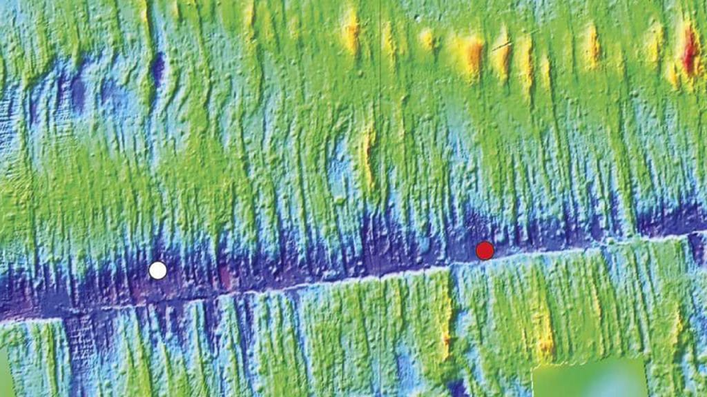
Mid-ocean ridges contain a wide variety of features, including ridges, rifts, valleys, seamounts, hydrothermal vents, fault zones, and more. A ridge’s overall structure and associated features depend to some extent on its rate of spreading. Slow-spreading ridges typically experience less volcanic activity and more faulting and earthquakes. Faulting creates a rugged topography that can be enhanced by the occasional explosive eruption. In contrast, fast-spreading ridges release large flows of magma. Repeated eruptions at these sites create layers of basalt that contribute to a more rounded profile along these ridges.
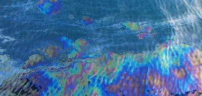
Ridges are also home to hydrothermal vents — sites where jets of hot water release a mix of minerals into the water column. Different types of vents release different combinations of minerals (primarily in the form of metals); as these materials settle, they form tall chimneys that eventually host a diverse array of organisms.
Why are these ridges important?
In addition to being the source of new crust, ridges allow for movement of seawater through the seafloor, which facilitates the exchange of gases and metals between the crust and the water column. As a result, the ridges play an important role in seawater chemistry. A wide variety of gases, chemicals, and minerals can be found along mid-ocean ridges. Some materials, such as magnesium, sulfate, and phosphorous, are removed from the water column by settling out. Others, such as iron and manganese, are released into the water column, where they provide energy for deep-sea microbes, which form the base of the deep-ocean food web.
What kinds of ecosystems exist along mid-ocean ridges?
Mid-ocean ridges host complex communities of deep-water organisms. In the ocean depths, energy comes not from sunlight, but rather from gases and chemicals released along the ridge. Microbes flourish here, supporting communities of organisms found nowhere else on Earth. Although research in these locations is limited, scientists have described more than 500 species associated with hydrothermal vents. These include stationary animals, such as giant tube worms and clams, and active animals such as shrimp, crabs, and snails. Some animals eat microbes, but others form a symbiotic relationship: some microbes live on or in these animals’ bodies, sharing nutrients in exchange for a protected place to live.
How do scientists study these ridges?
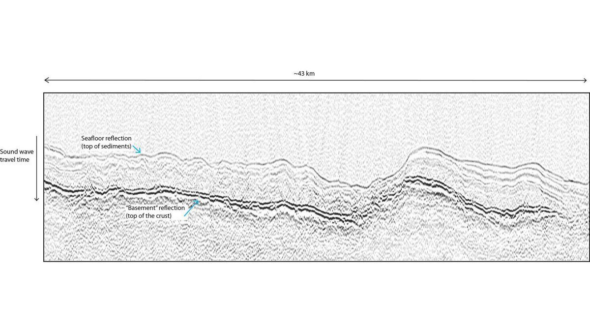
Studying mid-ocean ridges is a challenge, due to extreme depths, high pressure, and frequent volcanic activity, so scientists use a combination of approaches to better understand them. One method is through deep-ocean observatories. Made up of collections of instruments installed along and around the ridge, these observatories can monitor seismic, volcanic, and hydrothermal activity.
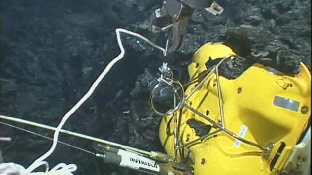
Researchers use a variety of submarine vehicles to install observatory instruments. These include autonomous underwater vehicles (AUVs) and remotely operated vehicles (ROVs), and human-occupied vehicles (HOVs). In rare cases, instruments are cabled, which allows them to transmit data in real time. Most observatories, however, store data until it is retrieved during later expeditions. After downloading the data, scientists redeploy the instruments so they can continue to collect data along the ridge.
In addition, researchers use cameras to record animal life, contributing to our understanding of deep-sea biological communities. Targeted sampling of ridges and the water column above them provides insights into the biogeochemical processes taking place at those locations. Scientists use computer models to process large quantities of data collected from the ridges to obtain a big-picture understanding of how the sites function and how they contribute to ocean processes.
Can mid-ocean ridges provide resources for human use?
Mid-ocean ridges are important sources of minerals, and mining companies have expressed an interest in harvesting metals and trace elements from these locations. However, it has become clear that such activities could cause widespread damage to these essential deep-sea systems. As a result, oceanographers are working to better understand these ridge systems and the potential impacts of deep-sea mining. The hope is to guide mining efforts to minimize damage while continuing to allow people access to essential resources.
Anderson, Molly, personal communication.
Boschen-Rose, R.E. & A. Colaço. 2021. Northern Mid-Atlantic Ridge hydrothermal habitats: A systematic review of knowledge status for environmental management. Frontiers in Marine Science. Vol. 8. doi: 10.3389/fmars.2021.657358.
Früh-Green, G.L. et al. 2022. Diversity of magmatism, hydrothermal processes and microbial interactions at mid-ocean ridges. Nature Reviews Earth & Environment. Vol. 3. doi: 10.1038/s43017-022-00364-y.
Schmid, F. et al. 2017. Magma plumbing system and seismicity of an active mid-ocean ridge volcano. Scientific Reports. Vol. 7. doi: 10.1038/srep42949.
WHOI. Life at Vents and Seeps. https://www.whoi.edu/know-your-ocean/ocean-topics/ocean-life/ecosystems/life-at-vents-seeps/