What are glaciers?
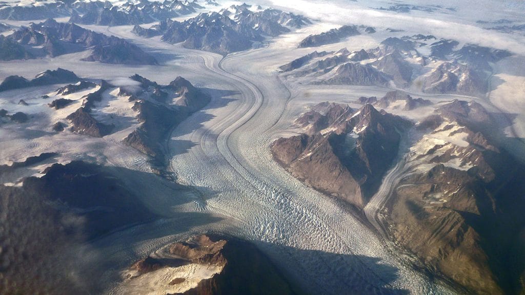
Ice accumulates over hundreds of thousands of years near the poles and at high altitudes, where more snow falls in winter than melts in summer. As a result, snow accumulates over time, with layers added year after year. Summer melt removes some of the snowpack; what remains compresses into pebbly bits of ice called firn. As new layers of snow are added year after year, the weight of the added layers of firn press down on those below, causing them to compact further. The ice undergoes a metamorphosis, reforming into ice crystals of various sizes. Because of this process, the US Geological Survey (USGS) classifies glacial ice as a mono-mineralic metamorphic rock. Naturally formed ice, because it is solid, is considered a mineral.
Over time, as long as snowfall continues to outpace losses, ice accumulates until the glacier begins to flow downhill under the forces of gravity and its own weight. These rivers of ice flow downhill at a truly glacial pace. It can take hundreds of years for ice that formed at the top to flow the full length of the glacier; the rate of movement depends on the thickness of the ice and the steepness of the slope down which it travels. Depending on conditions, glaciers can last for hundreds of thousands of years. The oldest glacier, in Antarctica, is thought to be almost one million years old.
What are ice sheets?
When glacial ice covers at least 50,000 square kilometers (20,000 square miles) of land, it is called an ice sheet. Earth is currently home to two ice sheets. One covers most of Greenland, the other most of Antarctica. Together they cover more than 10 million square kilometers of land and contain more than 99 percent of the freshwater ice on the planet. At the peak of the last Ice Age, ice sheets also covered much of Scandinavia and North America.
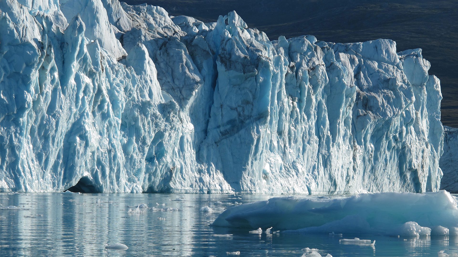
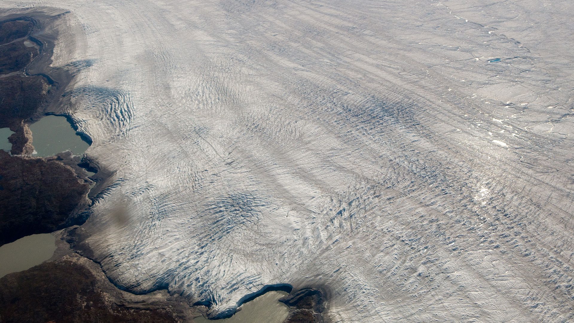
Ice sheets, which tend to be domed, can be several kilometers thick. Ice sheets also flow, but unlike glaciers, their ice moves out from the domed center. Although the sheet is solid, the ice behaves like a liquid, flowing over and around any land formations that block the way. The leading edge of the ice fractures as it moves outwards due to internal stress and drag over bedrock, creating crevasses and rifts than can lead to icebergs that calve, or break away, once the ice reaches the ocean.
Ice sheets typically flow to the sea, where they may form an ice shelf, ice tongue, or tidewater glacier. The rate of flow varies from one part of the ice sheet to another, and ice sheets can—and do—contain smaller glaciers. Flow can increase when meltwater seeps through cracks in the ice into the space between ice and land, where it can act as a lubricant to speed movement. Geothermal warming can similarly speed the flow of ice by melting the bottommost layer.
Why are they important?
Glaciers, particularly those located in high mountain ranges, provide essential freshwater to downstream populations, and the rivers they feed also power hydroelectric dams. Ice sheets store the vast majority of freshwater on the planet, but climate change is altering both snowfall patterns and the rate of melting, leading to overall losses of ice across the globe.
As ice melts and flows into the oceans, it raises sea level. As of 2014, sea level had risen 6.6 centimeters (2.6 inches) above 1993 levels, and continues to this day. This poses a problem for the hundreds of millions of people who live within five meters of the high tide line (approximately 10 percent of the global population). Unusually high tides and storm surges flood coastal communities much more frequently than they did 50 years ago, and as meltwater from ice sheets continues to contribute to sea level rise, these issues will only become more serious in coming years.
The Gulf Stream current, which brings warm water from the Caribbean across the Northern Atlantic to Iceland and Europe, is affected by the salinity of water. As meltwater from Greenland increases, it contributes large amounts of freshwater to the ocean’s surface. This could suppress the current, slowing the flow of water. The Gulf Stream exerts a strong influence on weather in Europe, and changes in ocean circulation would have large impact on the transfer of heat across the globe and resulting weather patterns.
Ocean Encounters: Ice!
Explore icy frontiers on Earth and beyond—discover how life survives, what ice reveals about our past, and where it might lead us next.
How are scientists studying glaciers and ice sheets?
Researchers are monitoring glaciers and ice sheets in an effort to track changes in their structure and predict future losses of ice and the resulting impact it will have on sea level. Tracking something as massive as an ice sheet isn’t an easy task. Researchers can compare the outflow of water with snowfall accumulation to understand whether the ice is stable, growing, or declining. Or they can use satellites to estimate the total volume of ice, rate of movement, amount of melting, and overall changes in ice loss. As a result of these efforts, scientists have found that Greenland and Antarctica are losing as much as 120 gigatons of ice each year, and that rate is increasing over time.
Scientists also take ice cores to study Earth’s past climate. When snow falls and metamorphoses into ice, it traps tiny pockets of air that provide a glimpse of historical atmospheric conditions. Particulates in the ice can reveal volcanic eruptions, dust storms, and other events. As ice continues to melt at a faster pace, scientists are working quickly to obtain cores for future study before the source ice is gone.
References
Mark, B.G., et al. Glaciers as water resources. In: The High-Mountain Cryosphere (ed by C. Huggel, M. Carey, J.J. Clague, and A. Kääb). Cambridge University Press. September 5, 2015. doi: 10.10.17/CBO9781107588653.011.
Mark, B.G., et al. Glaciers as water resources. In: The High-Mountain Cryosphere (ed by C. Huggel, M. Carey, J.J. Clague, and A. Kääb). Cambridge University Press. September 5, 2015. doi: 10.10.17/CBO9781107588653.011.
National Ocean Service. Is sea level rising? https://oceanservice.noaa.gov/facts/sealevel.html
NASA Earth Observatory. Why does the Greenland Ice Sheet matter? https://earthobservatory.nasa.gov/features/Greenland/greenland_sidebar.php
National Snow & Ice Data Center. Quick Facts on Ice Sheets. https://nsidc.org/cryosphere/quickfacts/icesheets.html
National Snow & Ice Data Center. State of the Cryosphere. https://nsidc.org/cryosphere/sotc/ice_sheets.html
USGS. How old is glacier ice? https://www.usgs.gov/faqs/how-old-glacier-ice
USGS. Is glacier ice a type of rock? https://www.usgs.gov/faqs/glacier-ice-type-rock
Following the Ice: Greenland 2011
April 28 to August 6, 2011 One hundred days on the Greenland Ice Sheet
Polar Discovery: Greenland’s Glaciers
July 7 to 24, 2008 Follow researchers as they return for their third year to learn how Greenland’s ice sheet is disappearing.
More topics like this
Sea ice
Sea ice is frozen seawater floating on the surface of the ocean. Sea ice is formed entirely in the ocean, unlike icebergs, which originate from land-based sources like glaciers and ice sheets.
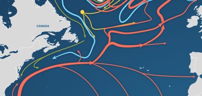
AMOC—The Atlantic Ocean’s conveyor belt
The ocean's conveyor-like global circulation influences today's climate system.
Biogeochemistry
Biogeochemistry studies the cycles of crucial elements, such as carbon and nitrogen, and their interactions with other substances and organisms as they move through Earth's atmosphere, hydrosphere, biosphere, and lithosphere.
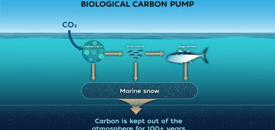
Biological carbon pump
Every day, microscopic phytoplankton pull carbon dioxide from surface waters and send it sinking into the deep sea—where the ocean's biological carbon pump can lock it away for hundreds to thousands of years, quietly shaping Earth's climate.
Changing shorelines & erosion
Waves, currents, wind, storms, and tides form complex interactions over time to cause erosion along some stretches of shoreline and growth in others.
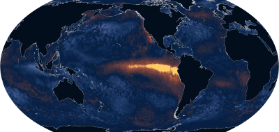
El Niño
El Niño is a natural climate pattern that occurs every two to seven years, when unusually warm Pacific Ocean waters alter global weather, causing floods, droughts, and marine ecosystem disruptions.
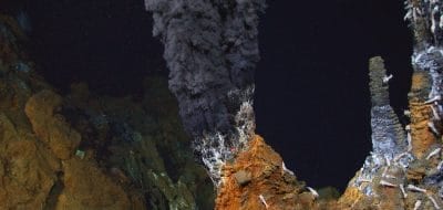
Hydrothermal vents
In the sunless deep, hydrothermal vents gush superheated, mineral-rich fluid from the seafloor, building towering mineral chimneys. Around them thrives one of Earth's strangest ecosystems—tubeworms, shrimp, and microbes that live on chemistry instead of sunlight, powered by the planet's inner heat.
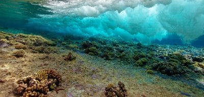
Sunlit zone
The upper layer of the ocean is known as the sunlit, or euphotic, zone. Because water strongly absorbs light, sunlight penetrates only to depths of about 200 meters (656 feet).
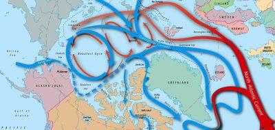
Arctic ocean circulation
The complex ocean circulation system in the Arctic — which impacts the entire food web — is in a delicate balance.
Carbon cycle
Carbon is the building block of life on Earth and has a powerful impact on the planet’s climate.
Cycles
Oceanic cycles — chemical, physical, and biological — are related to cyclic processes in the Earth's atmosphere, such as the seasons, El Niño events, and long-term climate changes.
Mid-ocean ridges
The mid-ocean ridge occurs along boundaries where plates are spreading apart.
Twilight zone
The ocean twilight zone is a layer of water that stretches around the globe. It lies 200 to 1,000 meters below the ocean surface, just beyond the reach of sunlight.
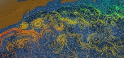
Currents, gyres, & eddies
At the surface and beneath, currents, gyres and eddies physically shape the coasts and ocean bottom.
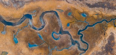
Groundwater
Groundwater is water that exists underground in the spaces between grains of sand or gravel or in the cracks and fractures in solid rock—part of the global water cycle.
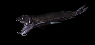
Midnight zone
The midnight zone, or bathypelagic, extends to about 4,000 meters (about 13,100 feet), which reaches the ocean floor in many places is in perpetual darkness.
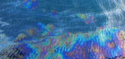
Natural oil seeps
As much as one half of the oil that enters the coastal environment comes from natural seeps of oil and natural gas.
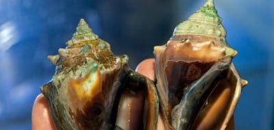
Ocean acidification
Ocean acidification is a reduction in the pH of the ocean over an extended period of time, caused primarily by an increase of carbon dioxide from the atmosphere.
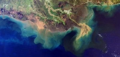
Oxygen dead zones
Dead zones occur when the water lacks oxygen. Like us, marine animals require oxygen to breathe, and when oxygen levels drop too low they can suffocate.
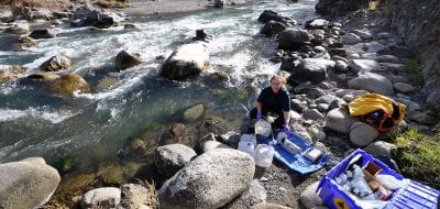
Rivers, estuaries, & deltas
Rivers, estuaries, and deltas are key to understanding the chemical structure of seawater, and are home to some of the world's most diverse ecosystems.
Oceanus magazine
[ ALL ]In-depth research on Glaciers & ice sheets
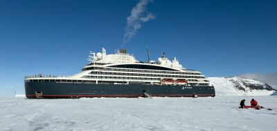
Luxury cruises with a side of climate science
Following the Polar Code

The pull of the poles
The ocean science-art connection
Signs of Big Change in the Arctic
Ice, Wind & Fury

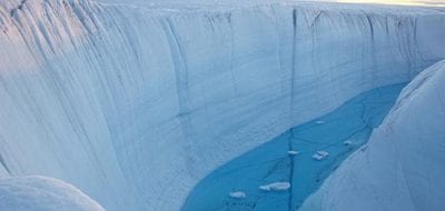
Scientists Find Trigger That Cracks Lakes

The Jetyak

A Mooring in Iceberg Alley
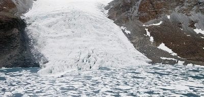
The Retreat of the Gualas Glacier
The Glacial Chronicles
The Scientist Who Stays Out in the Cold

WHOI News Room
[ ALL ]Press releases
Get the ocean in your inbox
Fresh discoveries, research, and stories from WHOI — free, every week.