What is groundwater?
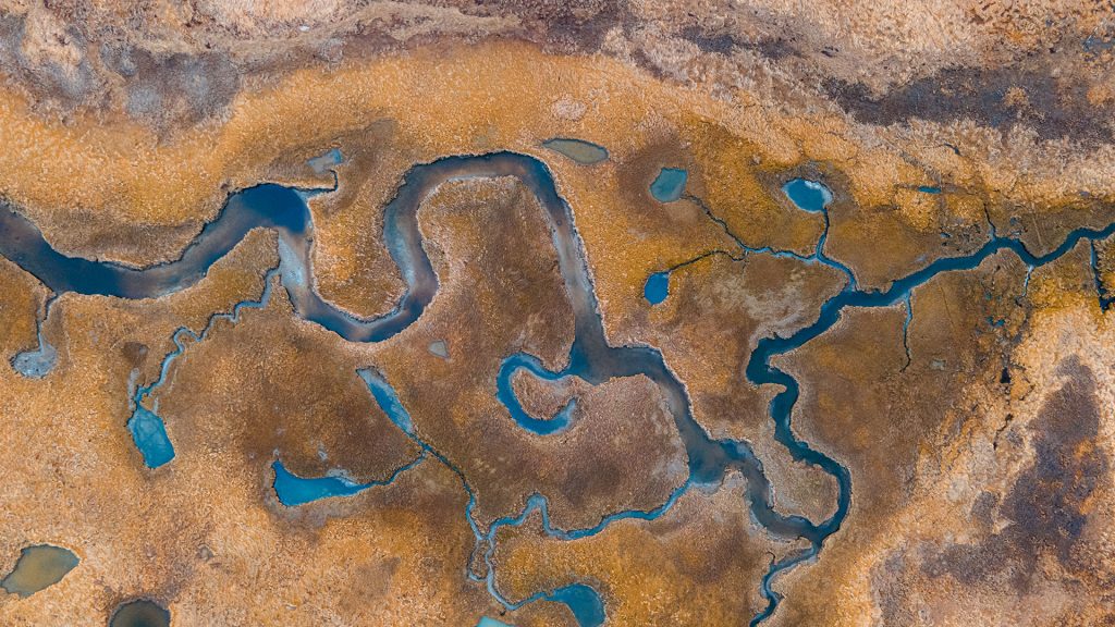
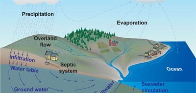
Water is in constant motion, moving from one location to another via a variety of processes: evaporation into the atmosphere, precipitation to return to Earth, infiltration into the soil, and evapotranspiration through plants. This cycle includes vast stores of both saltwater and freshwater, most of which occurs in forms we can see and experience directly—oceans of saltwater and lakes, rivers, and other sources of surface freshwater. But some water remains hidden underground. When water from rainfall or snowmelt seeps into the soil and underlying rock, it becomes groundwater.
Groundwater does not form underground lakes or rivers. Instead, it percolates through pores in soil and rock, filling available openings. Large underground areas of porous rock are called aquifers. Water within them flows naturally to feed streams or springs or can be pumped out for human use. Like surface water, groundwater can flow but does so more slowly.
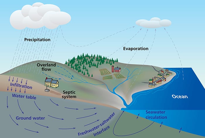
Groundwater and the ocean
Groundwater flows from land to sea, mixing with saltwater underground. Though just 5% of ocean inflow, it can carry high chemical loads that impact coasts.
Why is it important?
Groundwater provides the main source of drinking water for billions of people worldwide. Tapping into this resource has allowed cities to spring up in deserts and other areas with little rainfall or surface flow. It also supplies more than 40% of the water used for irrigation.
Many ecosystems also rely on groundwater to thrive. Many of these groundwater-dependent ecosystems occur in drylands—areas that receive little rainfall—making groundwater the sole source of moisture during most of the year. These ecosystems are often biodiversity hotspots, home to rare and endemic species. Preserving groundwater levels is an essential part of protecting these essential habitats.
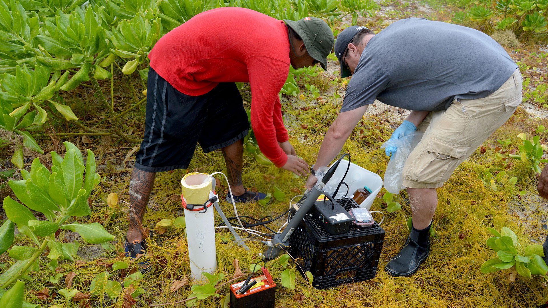
Benedict Yamamura and Paul Henderson testing groundwater well radiation. (Photo by Ken Buesseler, Woods Hole Oceanographic Institution)
What kinds of issues affect groundwater?
By far the biggest issue is overuse of groundwater resources. Pumping can remove large amounts of water over a short period of time, but recharging the underlying aquifer generally takes much longer. As groundwater levels drop from overuse, wells can run dry, prompting the need to dig deeper wells. When those aquifers also supply water to streams, streamflow can slow or stop, harming local ecosystems.
Human activities can contaminate groundwater with pathogens or a variety of agricultural and industrial chemicals. Climate change also plays a role. Global heating increases evapotranspiration by plants, which draw water from the ground and eventually release it into the atmosphere. Temperature increases also change the chemistry of groundwater, allowing minerals that would otherwise remain in rock to dissolve in the water. Warming affects groundwater up to 100 meters (328 feet) deep.
As groundwater levels drop, so does the overlying landscape. This sinking, called subsidence, affects cities and agricultural areas around the globe. When it happens along coastlines, subsidence increases flooding associated with sea level rise. Along the coastline, a drop in the freshwater table allows saltwater to infiltrate, creating brackish groundwater that limits use for drinking and irrigation.
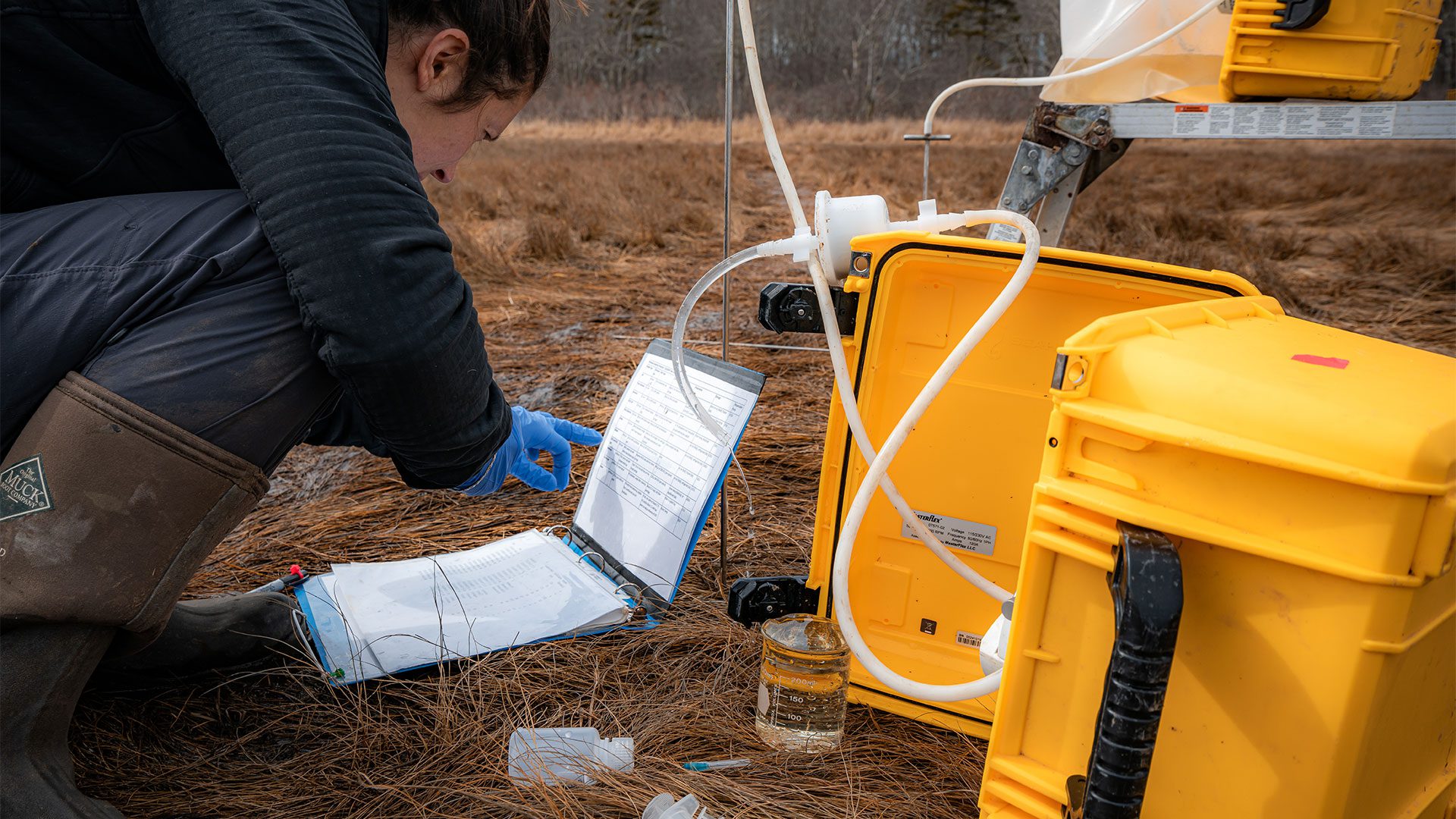
Assistant Scientist Julia Guimond recording information as peristaltic pump pulls groundwater from the Wells National Estuarine Research Reserve.(Photo by Brady Clark, Woods Hole Oceanographic Institution)
Can groundwater issues be fixed?
Recharging aquifers can take centuries, but people are tackling dropping groundwater levels in a variety of ways. Some areas have begun to pump highly treated wastewater underground in order to replenish dwindling groundwater sources. Others have used landscape architectural design to collect runoff and funnel it into wetlands that filter pollutants and allow the water to seep underground. These approaches help address many issues associated with groundwater depletion by providing a continuous supply of water for irrigation, drinking, and other forms of consumption. Such efforts also reduce subsidence.
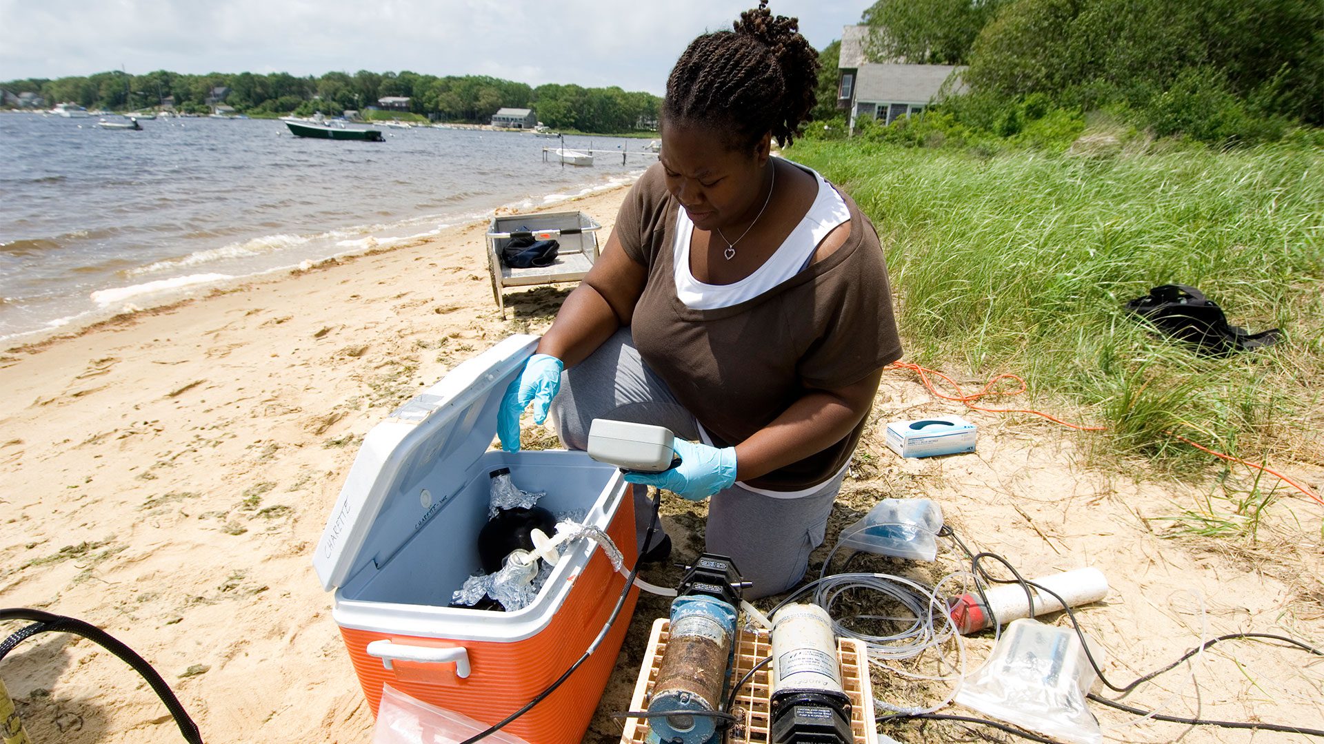
Summer student fellow DeAnne McCadney collects groundwater samples at Waquoit Bay. (Photo by Tom Kleindinst, Woods Hole Oceanographic Institution)
How do scientists study groundwater?
Around the world, scientists use networks of monitoring wells. These provide a fine-tuned look at underground water levels, allowing researchers to estimate how quickly aquifers refill, whether loss of groundwater will impact streamflow, and whether nearby wells are likely to run dry.
Scientists also rely on data from Gravity Recovery and Climate Experiment (GRACE), which ran from 2002 to 2017. Twin satellites orbiting Earth on opposite sides of the planet constantly measured small changes in the distance between them, which reflected changes in Earth’s gravity. Larger amounts of water—including groundwater—increased the gravitational pull, which reduced the distance between satellites a tiny bit. Lower amounts of water reduced that pull, allowing the satellites to shift farther apart. Outfitted with sensitive instruments to detect these minute changes in gravity, GRACE satellites recorded changes in both surface and groundwater over 15 years. The resulting data allowed scientists to map groundwater levels around the globe to track discharge and recharge of aquifers.
References
Coastal Groundwater Geochemistry Lab
Dao, P.U. et al. The impacts of climate change on groundwater quality: A review. Science of the Total Environment. Vol. 912. February 20, 2024. doi: 10.1016/j.scitotenv.2023.169241.
Dika, I.R. and M. Rimac. The role and important of plant purification systems in the ecological approach to landscape design. IOP Conference Series: Earth and Environmental Science. Vol. 879. 2021. doi: 10.1088/1755-1315/879/1/012033.
Jasechko, S. et al. Rapid groundwater decline and some cases of recovery in aquifers globally. Nature. Vol. 625. January 25, 2024. doi: 10.1038/s41586-023-06879-8.
Jasuja, P. and E. Bhatnagar. Planning strategies for stormwater management for urban areas: Lessons for India. Journal of Global Resources. Vol. 7. 2021. doi: 10.46587/JGR.2021.v07i02.011.
Job, C. A Mid-Atlantic managed aquifer recharge regulatory process supports multi-purpose water reuse. Groundwater Monitoring & Remediation. Vol. 44. Winter 2024. doi: 10.1111/gwmr.12630.
More topics like this
Changing shorelines & erosion
Waves, currents, wind, storms, and tides form complex interactions over time to cause erosion along some stretches of shoreline and growth in others.
Rivers, estuaries, & deltas
Rivers, estuaries, and deltas are key to understanding the chemical structure of seawater, and are home to some of the world's most diverse ecosystems.
AMOC—The Atlantic Ocean’s conveyor belt
The ocean's conveyor-like global circulation influences today's climate system.
Biogeochemistry
Biogeochemistry studies the cycles of crucial elements, such as carbon and nitrogen, and their interactions with other substances and organisms as they move through Earth's atmosphere, hydrosphere, biosphere, and lithosphere.
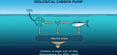
Biological carbon pump
Every day, microscopic phytoplankton pull carbon dioxide from surface waters and send it sinking into the deep sea—where the ocean's biological carbon pump can lock it away for hundreds to thousands of years, quietly shaping Earth's climate.
El Niño
El Niño is a natural climate pattern that occurs every two to seven years, when unusually warm Pacific Ocean waters alter global weather, causing floods, droughts, and marine ecosystem disruptions.
Hydrothermal vents
In the sunless deep, hydrothermal vents gush superheated, mineral-rich fluid from the seafloor, building towering mineral chimneys. Around them thrives one of Earth's strangest ecosystems—tubeworms, shrimp, and microbes that live on chemistry instead of sunlight, powered by the planet's inner heat.
Sunlit zone
The upper layer of the ocean is known as the sunlit, or euphotic, zone. Because water strongly absorbs light, sunlight penetrates only to depths of about 200 meters (656 feet).
Arctic ocean circulation
The complex ocean circulation system in the Arctic — which impacts the entire food web — is in a delicate balance.
Carbon cycle
Carbon is the building block of life on Earth and has a powerful impact on the planet’s climate.
Cycles
Oceanic cycles — chemical, physical, and biological — are related to cyclic processes in the Earth's atmosphere, such as the seasons, El Niño events, and long-term climate changes.
Glaciers & ice sheets
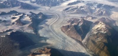
Glaciers are large ice masses created by snowfall that has transformed into ice and compressed over the course of many years. An ice sheet is a mass of glacial land ice extending more than 20,000 square miles.
Mid-ocean ridges
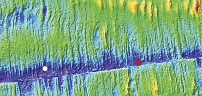
The mid-ocean ridge occurs along boundaries where plates are spreading apart.
Twilight zone
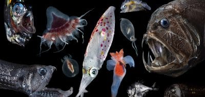
The ocean twilight zone is a layer of water that stretches around the globe. It lies 200 to 1,000 meters below the ocean surface, just beyond the reach of sunlight.
Currents, gyres, & eddies
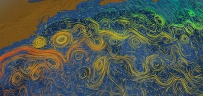
At the surface and beneath, currents, gyres and eddies physically shape the coasts and ocean bottom.
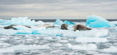
Frozen ocean
The polar regions are experiencing unprecedented environmental changes that have significant potential impacts on global climate, ecosystems, and society.
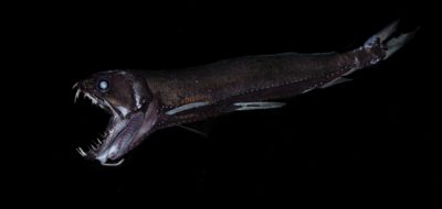
Midnight zone
The midnight zone, or bathypelagic, extends to about 4,000 meters (about 13,100 feet), which reaches the ocean floor in many places is in perpetual darkness.
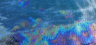
Natural oil seeps
As much as one half of the oil that enters the coastal environment comes from natural seeps of oil and natural gas.
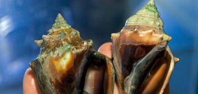
Ocean acidification
Ocean acidification is a reduction in the pH of the ocean over an extended period of time, caused primarily by an increase of carbon dioxide from the atmosphere.
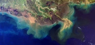
Oxygen dead zones
Dead zones occur when the water lacks oxygen. Like us, marine animals require oxygen to breathe, and when oxygen levels drop too low they can suffocate.
Oceanus magazine
[ ALL ]In-depth research on Groundwater




WHOI News Room
[ ALL ]Press releases
Get the ocean in your inbox
Fresh discoveries, research, and stories from WHOI — free, every week.