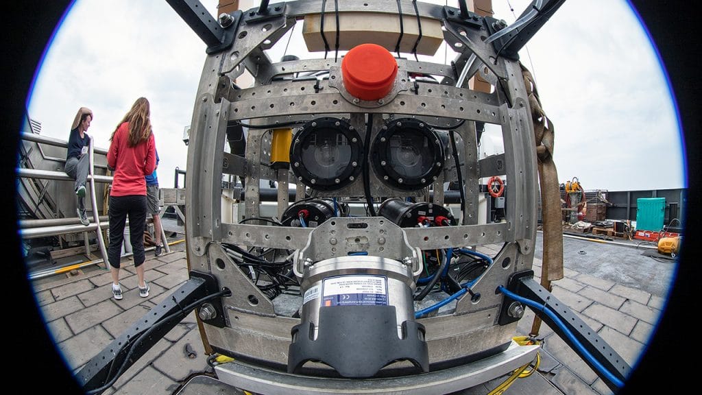
Ocean imaging combines science and technology to uncover and document what lies beneath the surface, from coastal areas to the deepest ocean trenches.
Researchers use advanced tools such as autonomous underwater vehicles (AUVs), remotely operated vehicles (ROVs), and high-resolution cameras to document marine life, underwater terrain, and geological events in real time. This imaging work supports a wide range of scientific endeavors — from tracking offshore wind infrastructure and surveying deep-sea eruptions to measuring methane seeps and monitoring endangered whales using thermal infrared cameras.
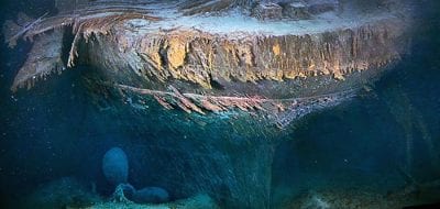
Ocean Encounters: Titanic & Beyond
The evolution and impact of deep-sea imaging.
Innovations in lighting, sensors, and drone technology have even made it possible to observe elusive environments like the ocean’s twilight zone, or to study wildlife with minimal disturbance, as seen in aerial seal surveys.
Ocean imaging plays a critical role in advancing marine science by providing visual access to regions of the ocean that are otherwise difficult or impossible to study directly. Each image and video captured underwater provides rare and essential tools for documenting marine life, mapping seafloor features, and monitoring environmental change within Earth’s largest and least explored ecosystem.
Development of Imaging Technologies
Bill Lange, former Director of WHOI's Advanced Imaging and Visualization Laboratory, discusses how imaging technology has evolved from studying Titanic.
References
Multidisciplinary Instrumentation in Support of Oceanography (MISO)
A community instrumentation facility for deep-sea digital imaging
Lighting & Camera Systems
at Woods Hole Oceanographic Institution
Learn more about Dwight Coleman
More topics like this
Acoustics
A strong understanding of how sound behaves in different conditions in the ocean helps scientists answer fundamental questions about the planet, the ocean, and marine life.
Moorings & buoys
An oceanographic mooring consists of a long cable with an anchor at one end, a float at the other, and instruments attached to the line in between or to a float.
Ocean modeling
Ocean models are mathematical models of ocean properties and circulation, which helps us to better understand the ocean's influence on weather and climate.
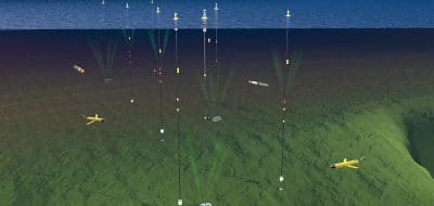
Ocean observatories
Ocean observatories have suites of instruments and sensors with long-term power supplies and permanent communications links that feed data in real-time.
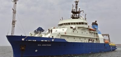
Ships
Oceanographers rely on sophisticated ships to get a firsthand look at the ocean environment and to carry their tools and instruments into it.
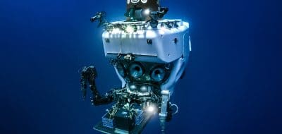
Underwater vehicles
Oceanographic observing tools has grown to include human-occupied submersibles, remote-controlled vehicles, and autonomous robots.
Oceanus magazine
[ ALL ]In-depth research on Imaging
A once-in-a-generation dive into polar history
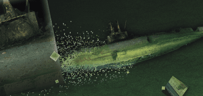
Eyes on the deep

How WHOI helped win World War II
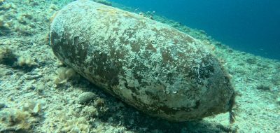
Learning to see through cloudy waters

Are warming Alaskan Arctic waters a new toxic algal hotspot?

5 essential ocean-climate technologies
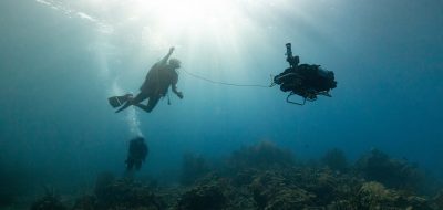
A curious robot is poised to rapidly expand reef research

A new way of “seeing” offshore wind power cables
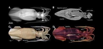
New Techniques Open Window into Anatomy of Mollusks
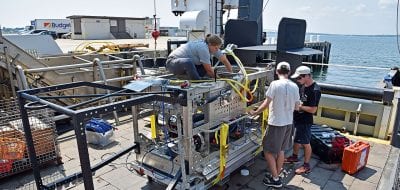
The Deep-See Peers into the Depths
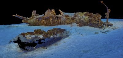
Re-envisioning Underwater Imaging
Up in the Sky!
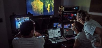





WHOI News Room
[ ALL ]Press releases
Ship-mounted camera systems increase protections for marine mammals
Heidi Sosik Selected as a Fellow of The Oceanography Society
Get the ocean in your inbox
Fresh discoveries, research, and stories from WHOI — free, every week.