
What are tsunamis?
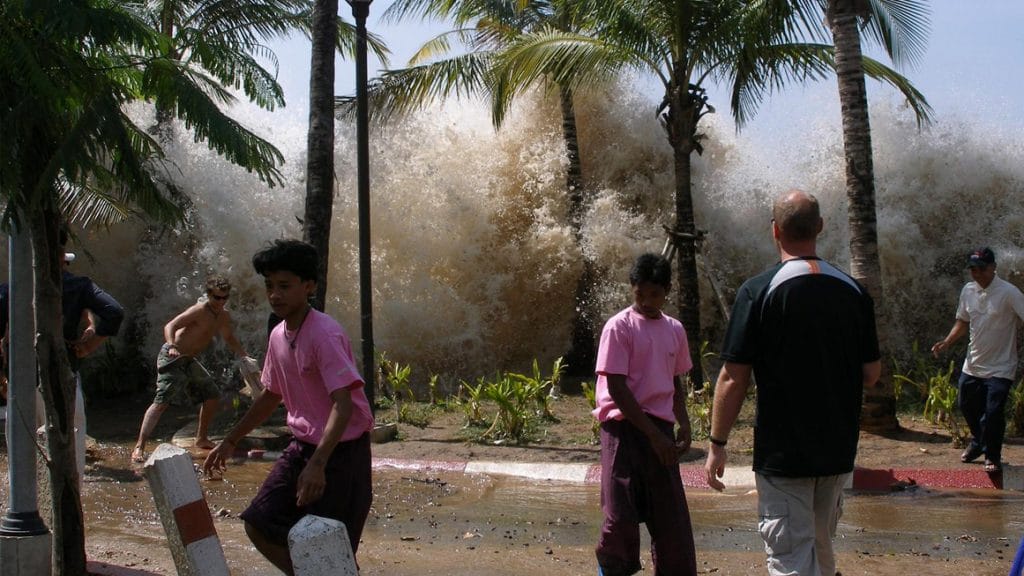
Tsunamis occur when a geologic event displaces water from seafloor to sea surface. This displacement creates a massive wave that radiates out from the point of origin. Unlike typical waves, which travel only through surface waters, tsunamis extend the full height of the water column. The deep ocean allows these waves to travel up to 800 kilometers per hour (500 miles per hour)—about the speed of a jet liner—which allows them to travel across entire ocean basins in a matter of hours. As tsunami waves enter shallower waters, they slow and grow in height, sometimes reaching 20 to 30 meters (65 to 100 feet) before they rush onto land like a wall of water, scouring everything in their path.
Most tsunamis are triggered by earthquakes, particularly those at subduction zones along the ocean floor. These are places where one tectonic plate pushes over the top of another. As the heavier plate sinks, it drags the leading edge of the lighter plate with it, creating a deep rift that can run for hundreds to thousands of kilometers (miles). Friction between the two plates grows over long periods of time. When the edge of the upper plate can no longer bend, it springs free with tremendous force. The movement forces the water column upwards. As the crest of water then falls, it splits into two waves that travel in opposite directions from the point of origin. As the tsunami travels, it forms additional waves, so when it reaches land, one wave after another devastates the coastline.
Other tsunami-generating events include volcanic eruptions, landslides, meteorites, and weather events, such as fast-moving storms. How far a tsunami travels depends on a variety of factors. Some impact only local shorelines, whereas others can travel around the world. The height of the wave on land is determined by a number of factors, including offshore geological features. Although people often call them tidal waves, tsunamis are not connected to tides.
Anatomy of a Tsunami
This animation shows how a tsunami forms and reveals the powerful impact it can have on coastal communities. (Animation by Jack Cook, Woods Hole Oceanographic Institution)
Why are they important?
Tsunamis are rare but extremely dangerous events capable of causing extensive damage and loss of life. Since the mid-1800s, tsunamis have killed more than 420,000 people worldwide and caused billions of dollars in damage. Tsunamis are highly destructive; the incoming wave can pick up ships, buses, trucks, and other vehicles; derail trains; uproot trees and other vegetation; and destroy buildings, roads, and other infrastructure. People caught in the water who are lucky enough to survive can suffer severe injuries from debris.
Tsunamis can occur without warning. Some waves travel long distances, impacting shorelines far from the point of origin, where people will not have felt the earthquake or eruption that triggered the event. Sometimes people feel the earth shake but don’t realize a tsunami could follow. On December 26, 2004, a magnitude 9.1 earthquake triggered a tsunami in the Indian Ocean that ultimately affected 16 countries. People in Indonesia and Thailand felt the powerful quake but did not have a warning system and did not evacuate coastal areas. Because the fault line that triggered the tsunami lay only 150 miles off the coast of Sumatra, it took only 30 minutes for the 30-meter (100-foot) wave to reach the island, where it killed more than 100,000 people. The tsunami ultimately traveled around most of the globe. It killed nearly a quarter of a million people in total, making it the deadliest tsunami in recorded history.
Where are some of the hotspots around the planet where tsunamis form?
Most tsunamis are triggered by geologic activity associated with the Pacific Ocean’s Ring of Fire, which extends from the Chilean coast up to Alaska, across the Bering Strait, along Japan and Indonesia to New Zealand. Fault lines between the deep Pacific tectonic plate and surrounding plates have created deep ocean trenches where the plates collide. These trenches are often the source of earthquakes that trigger tsunamis. Hundreds of volcanoes also lie along the Ring of Fire. Eruptions and associated landslides can also trigger tsunamis.
Did you know?
Interactive Tsunami Guide
Learn what causes tsunamis, how warning systems work, and what to do before, during, and after one strikes to stay safe and protect your loved ones.
How do scientists monitor them?
During the early 2000s, several large, deadly tsunamis prompted rapid expansion of monitoring systems. When a tsunami center detects an earthquake, researchers note the location, depth, and magnitude, all of which help determine whether a tsunami will follow. Large earthquakes (magnitude 8.5 or greater) at relatively shallow depths in the ocean floor are most likely to displace sufficient water to trigger a tsunami. Researchers feed incoming data into computer models that help determine the likely path and strength of the event, which allows them to issue warnings.
What is a tsunami warning system, and how does it work?
Warning systems include buoys and bottom pressure recorders to monitor real-time wave height, seismometers to detect earthquakes and other seismic activity, and satellites to relay data to tsunami centers, which evaluate conditions and issue warnings as needed. Each buoy is linked to a bottom pressure recorder; together they track the height of the water column, which allows researchers to observe the wave as it travels. Clusters of buoy-recorder systems have been deployed in strategic locations where tsunamis are more likely to occur. Buoys send data to satellites, allowing researchers to monitor conditions in near real-time.
Nations with coastlines likely to be affected by tsunamis have evacuation systems in place to alert people near the water to the threat posed by an incoming tsunami. Rapid communication between tsunami centers and people on the ground gives people the best possible opportunity to reach high ground before the first wave hits.
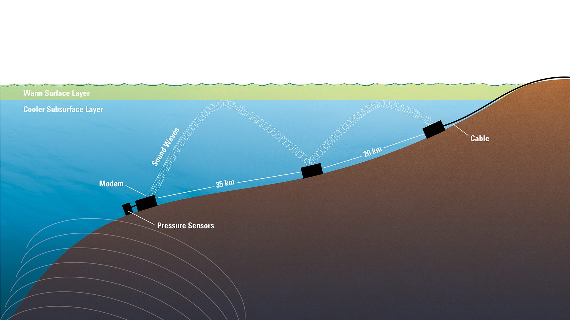
Configuration of tsunami warning pressure sensor system
When a pressure sensor detects a tsunami wave, a modem sends out an underwater sound signal. Sound waves reflect off warm water layers on the surface down to relay stations on the bottom, and then to a cabled station that sends the tsunami alert to officials on shore. (Illustration by Eric S. Taylor, © Woods Hole Oceanographic Institution)
References
Intergovernmental Oceanographic Institution. Assessment of capacity building requirements for an effective and durable tsunami warning and mitigation system in the Indian Ocean; consolidated report for countries affected by the 26 December 2004 Tsunami. https://pdf.usaid.gov/pdf_docs/Pnady256.pdf
Mori, N. et al. 2022. Giant tsunami monitoring, early warning and hazard assessment. Nature Reviews Earth & Environment. doi: 10.1038/s43017-022-00327-3.
NOAA. The science behind tsunamis. https://www.noaa.gov/explainers/science-behind-tsunamis
NOAA. Tsunami Propagation. https://www.noaa.gov/jetstream/tsunamis/tsunami-propagation
NOAA. U.S. Tsunami Warning System. https://www.noaa.gov/explainers/us-tsunami-warning-system
NOAA National Data Buoy Center. Deep-ocean Assessment and Reporting of Tsunamis (DART) Description. https://www.ndbc.noaa.gov/dart/dart.shtml
NOAA Tsunami Program. https://www.tsunami.noaa.gov/
USGS. Indian Ocean Tsunami Remembered—Scientists reflect on the 2004 Indian Ocean that killed thousands. December 23, 2014. https://www.usgs.gov/news/featured-story/indian-ocean-tsunami-remembered-scientists-reflect-2004-indian-ocean-killed
Japan, 2011
On March 11, 2011, a magnitude 9 earthquake 80 miles off the northeast coast of Japan triggered a series of tsunamis that struck nearby shorelines and the Fukushima Daiichi nuclear power plant.
Tsunami Information
NOAA
Tsunami & Earthquake Research
USGS
Pacific Tsunami Warning Center
NOAA
Lessons from the 2004 Indian Ocean Tsunami
October 31, 2006 To establish a stronger link between the ocean research and engineering leadership of Woods Hole Oceanographic Institution (WHOI) and major national and international hazard mitigation programs, WHOI organized a colloquium on natural disaster management with a focus on the 2004 Indian Ocean tsunami.
More topics like this
Earthquakes
An earthquake is a shaking of the ground that occurs when two large blocks of Earth's crust slip suddenly past one another.
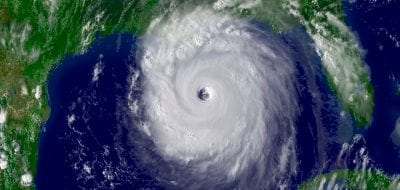
Hurricanes
Hurricanes are large rotating tropical storms with winds in excess of 119 kilometers per hour. They usually form in the Atlantic Ocean but can develop in other oceans as well.
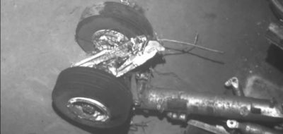
Air France flight 447
On April 4, 2011, a search team led by the Woods Hole Oceanographic Institution (WHOI) located the wreckage of the Airbus jet some 3,900 meters (nearly 2.5 miles) below the surface of the Atlantic Ocean.
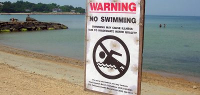
Beach closures
Hundreds of beaches nationwide are closed each year due to the presence of potentially harmful bacteria, viruses, and parasites in the water.
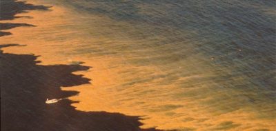
Harmful algae & red tides
Tiny plants pose a potent threat to those who live in and eat from the sea.

Watch What You Eat
Harmful algal blooms can taint seafood with toxins, causing illness or even death. Learn how blooms affect human health through shellfish and fish poisoning.
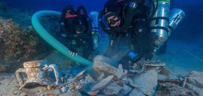
Antikythera shipwreck
The site of the Antikythera Wreck holds the remains of a Greek trading or cargo ship dating from the First Century, BCE. It is located on the east side of the Greek island of Antikythera.
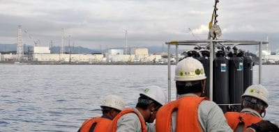
Fukushima radiation
On March 11, 2011, a magnitude 9.0 earthquake 80 miles off the northeast coast of Japan triggered a series of tsunamis that struck nearby shorelines and the Fukushima Daiichi nuclear power plant.

Ocean culture & history
The role of the ocean in human culture is profound, as people experience the sea in many ways, and respond with literature, art, and scientific investigation.
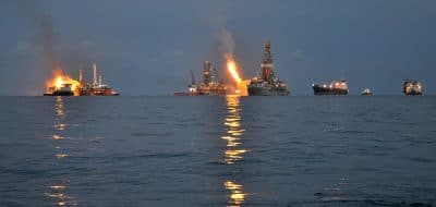
Oil spills
The systematic study of oil in the ocean is relatively new to science, but since the late 1960s it has grown to encompass almost every area of oceanography.
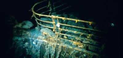
RMS Titanic
The RMS Titanic was a passenger and mail ship that hit an iceberg on its maiden voyage on April 14, 1912. It remains one of the deadliest peacetime maritime disasters in history.

Marine microplastics
Marine microplastics are small fragments of plastic debris that are less than five millimeters long. Some microplastics, known as primary microplastics, are "micro by design
Radiation
The background level of radiation in oceans and seas varies around the globe. Measured in atomic disintegrations per second (Becquerels) of cesium-137 in a cubic meter of water.
Stellwagen Bank
The shallow waters of the Stellwagen Bank create treacherous conditions that change unexpectedly and have led to numerous shipwrecks that dot the seafloor.
Oceanus magazine
[ ALL ]In-depth research on Tsunamis

Can seismic data mules protect us from the next big one?

A New Tsunami-Warning System

Lessons from the 2011 Japan Quake


