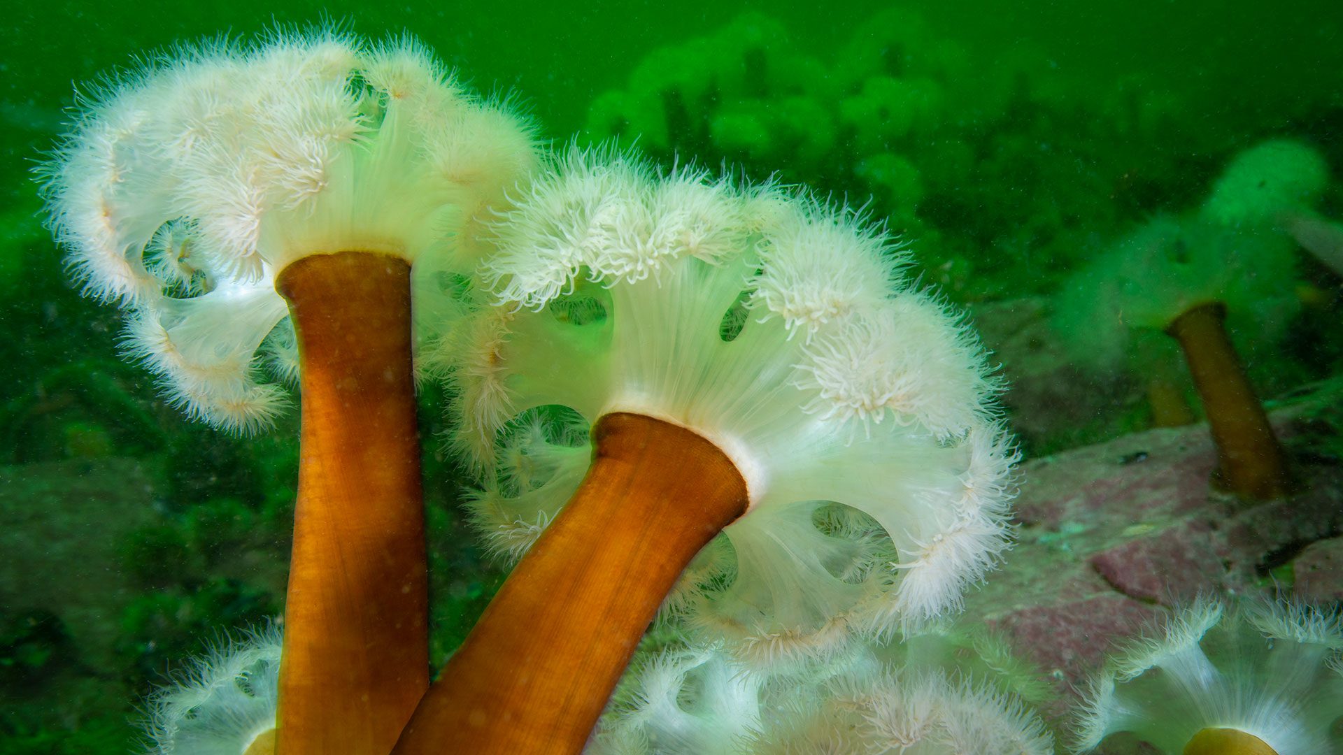
How shipwrecks helped a cold-water anemone move south
Researchers find fluffy anemones spreading south via shipwrecks, revealing how artificial reefs and ocean currents connect marine habitats
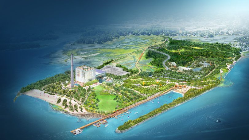
WHOI joins Manresa Wilds Project to help restore part of Connecticut’s coastline
Development of a new coastal green space and public park opens up access to ocean science in Long Island Sound

Recipe: Roasted peppers with smoked mackerel, mace, and mint
This seafood recipe by chef and author Barton Seaver is a great introduction to sustainable seafood
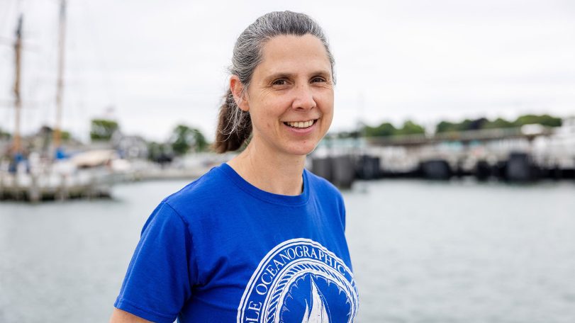
Sampling Gulf Stream plankton, one teaspoon at a time
Three questions with marine research technician Emily Peacock
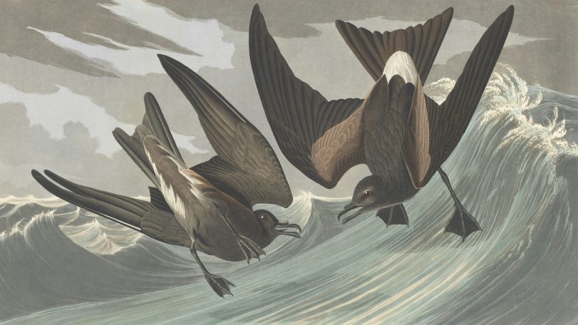
These seabirds fly toward cyclones, not away from them
New GPS tracking on petrels reveals a surprising survival strategy hidden in the eye of the storm
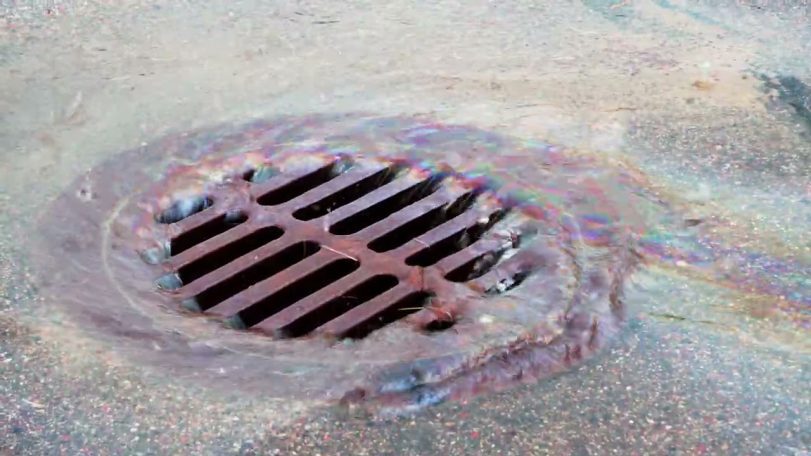
Are big spills the main source of ocean oil?
Evidence shows that smaller leaks on land contribute far more oil to our oceans

Reclaiming knowledge from the sea
Jordan Kennedy combines Indigenous knowledge, engineering, and observation to rethink how coastal landscapes are studied and restored. Her work on clam gardens and autonomous mapping systems explores how revitalizing these ancient systems can also reclaim knowledge and relationships between people, place, and practice.
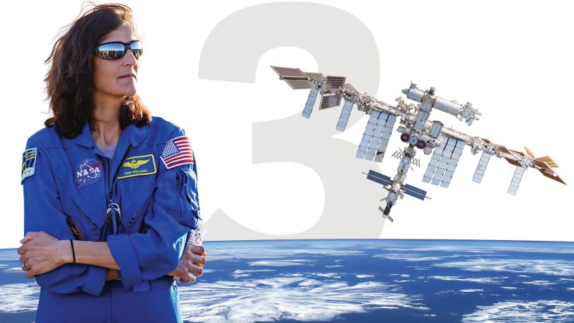
3 questions with a former NASA astronaut
WHOI Corporation Member Sunita Williams discusses space exploration, ocean science, and environmental stewardship
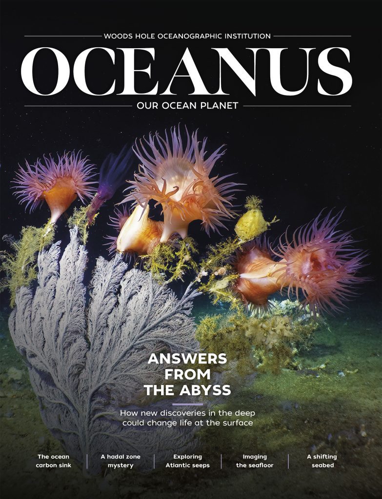
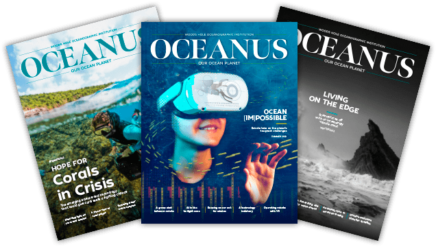
and get Oceanus delivered to your door twice a year as well as supporting WHOI's mission to further ocean science.
Our Ocean. Our Planet. Our Future.
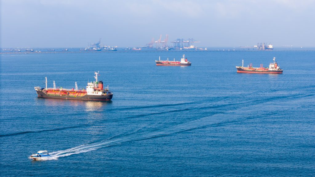
Ships in the Strait of Hormuz are becoming invasive species breeding grounds
Beneath the waterline of every ship stalled in the Persian Gulf, a thriving underwater city takes shape—barnacles, algae, mussels, sea squirts. Some of those hitchhikers could reach coastlines they’d never find on their own.

Is the ocean carbon sink at risk of faltering?
WHOI scientists explain how the ocean mitigates climate change—and could be compromised by it
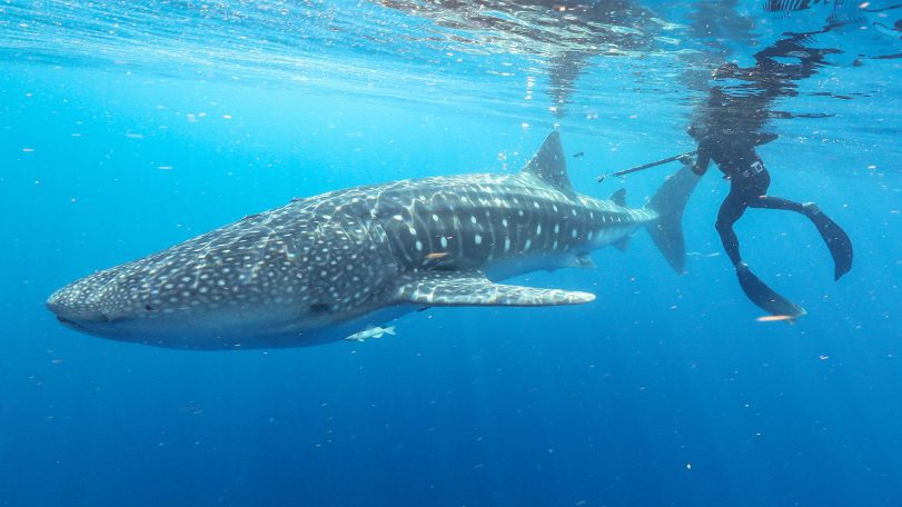
3 questions with Cam Braun
Marine biologist Camrin Braun explains why the world’s largest fish visit waters off Cape Cod—and what their epic migrations reveal about a changing ocean
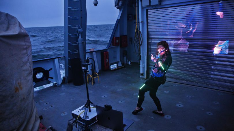
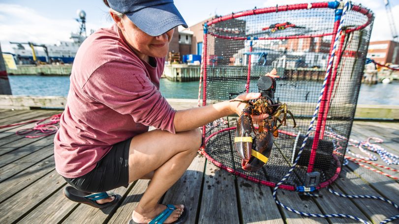
Is underwater noise from construction affecting the American Lobster?
WHOI’s Sensory Ecology Lab investigates whether an industrialized soundscape impacts the health of a New England icon
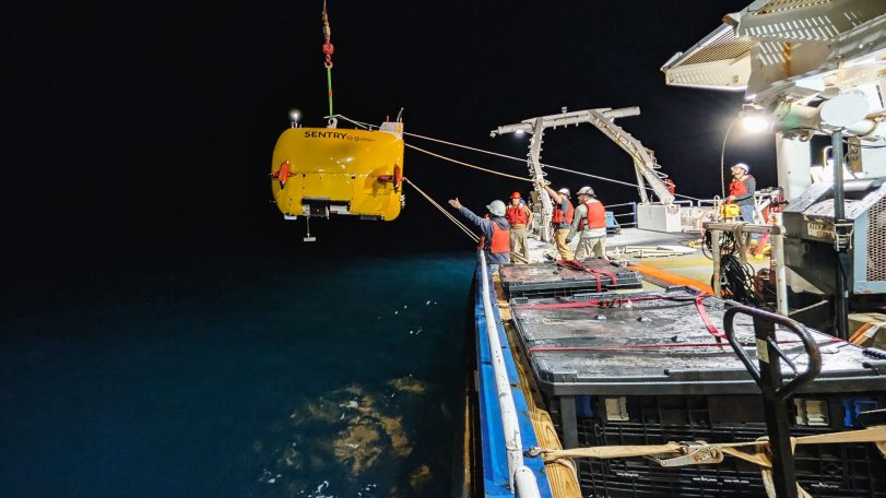
Exploring Atlantic seeps
AUV Sentry leads the way in mapping and monitoring methane bubbling from the seafloor
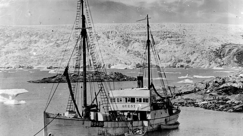
A once-in-a-generation dive into polar history
40 years after helping reveal the Titanic, Alvin returns to the North Atlantic to document two other legendary shipwrecks
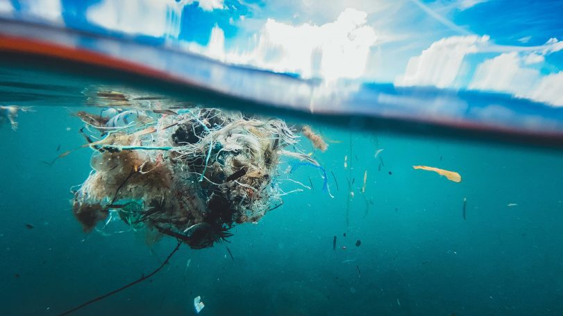
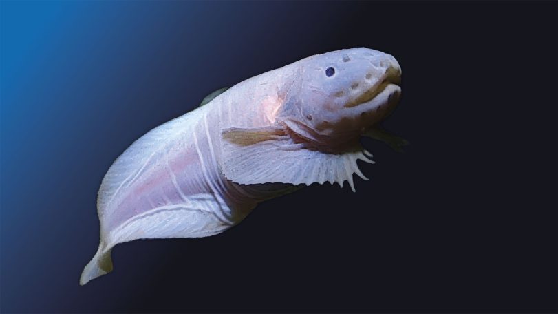
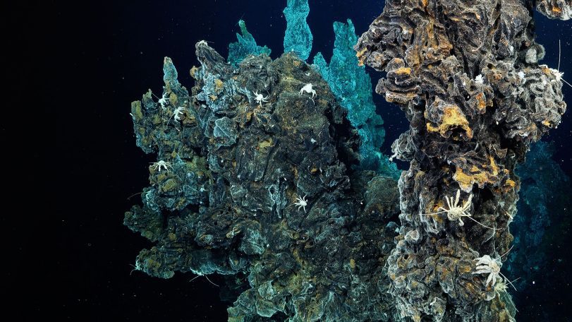
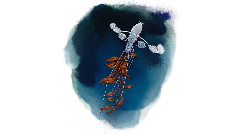
A hadal zone mystery solved
An upside-down swimming isopod shows how tightly we are connected to the deep ocean
Looking for something specific?
We can help you with that. Check out our extensive conglomeration of ocean information.
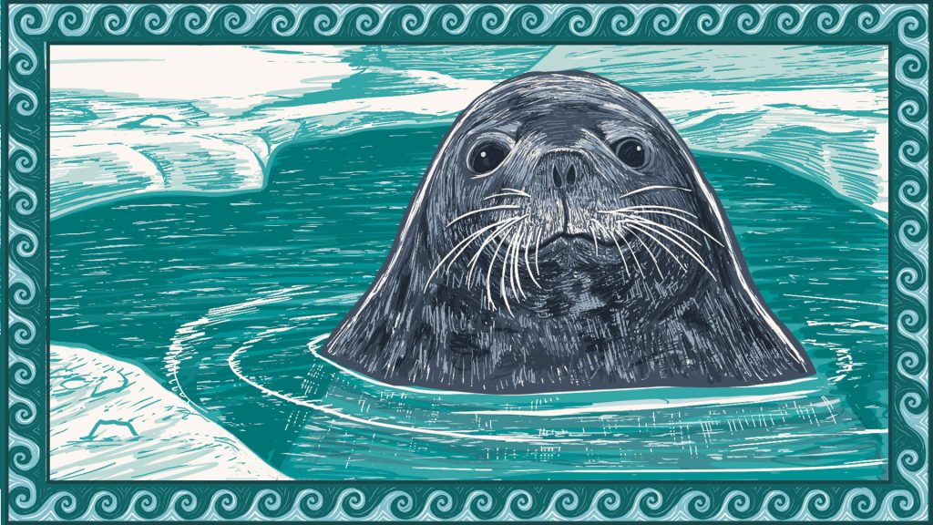
A mother seal dives
Follow a Weddell seal as her body adapts to foraging in deep, frigid waters
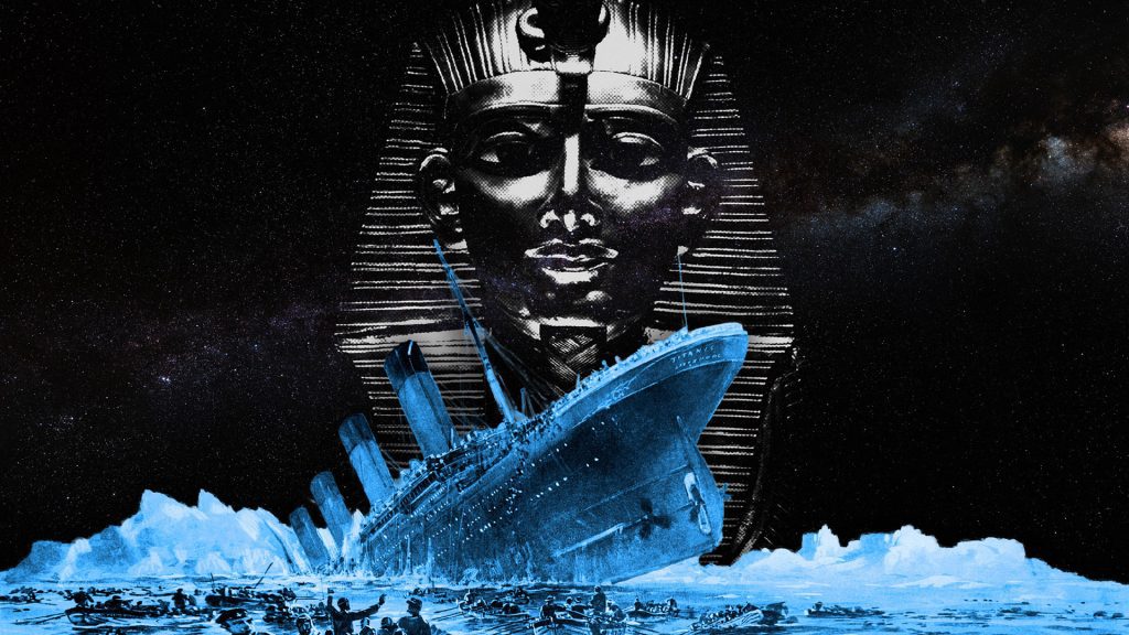
A mummy, a myth, and the Titanic
A 1986 handwritten letter to Bob Ballard revisits one of the Titanic disaster’s strangest myths
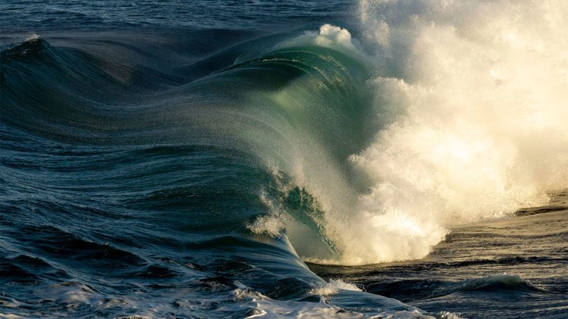
Turning motion into power: Wave energy converters for sustainable ocean monitoring
In the rapidly evolving world of ocean technology, wave energy is emerging as a promising…
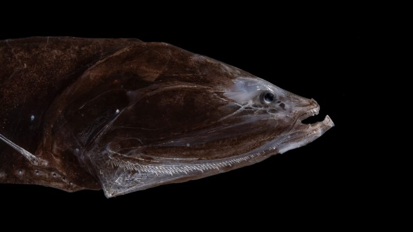
The world’s most abundant fish once thrived in an extreme climate
Fossilized teeth show bristlemouth fish evolved during one of the ocean’s hottest periods
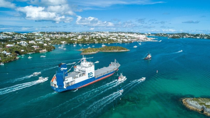
How a cargo ship is tracking hidden ocean life in the Atlantic
With funding support from CMA CGM, ocean observations aboard Bermuda Container Line’s M/V Oleander now include a window into microscopic life
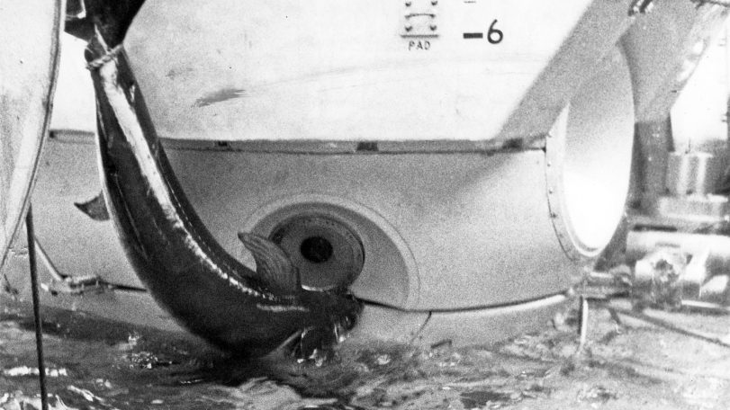
Alvin vs. the swordfish
During a 1967 dive off Florida, a startled swordfish rammed the famed submersible Alvin—lodging its sword in the hull and forcing the crew to abort the mission

Inside Room 71: WHOI history in seven artifacts
Some of the technology, art, and gifts that tell the story of the institution’s early days
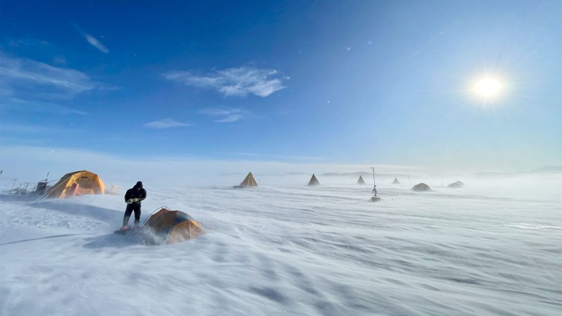
A scientist’s quest to find Earth’s oldest ice
After recovering ice that dates back 6 million years, Sarah Shackleton hopes to dig deeper into Earth’s history from a remote Antarctic moraine
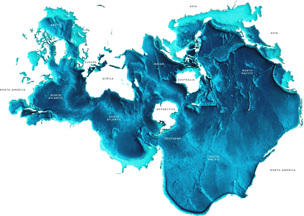
It’s the most ocean-friendly map ever created. Why haven’t more people seen it?
Discover the Spilhaus Projection, a radical world map that reveals Earth as one connected ocean—and reshapes how we see the planet.
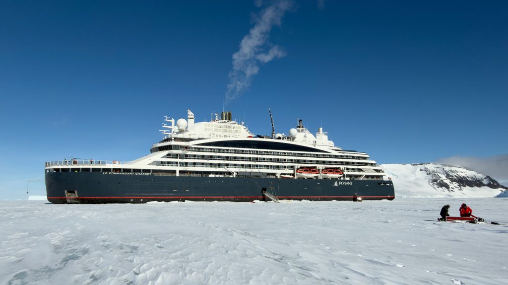
Luxury cruises with a side of climate science
A new partnership gives scientists rare access to remote Antarctic glaciers—and a new way to engage the public
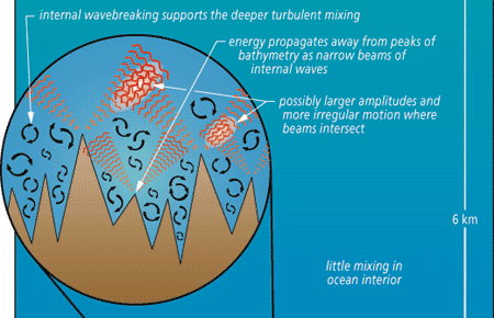
New Data on Deep Sea Turbulence Shed Light on Vertical Mixing
The global thermohaline circulation is basically a wholesale vertical overturning of the sea, driven by heating and cooling, precipitation and evaporation.
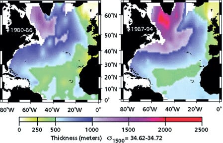
Labrador Sea Water Carries Northern Climate Signal South
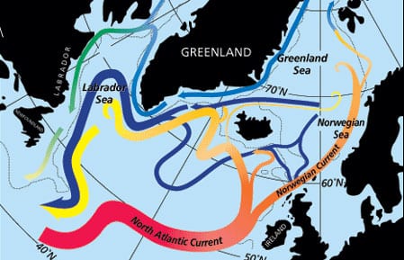
Changes in wind strength, humidity, and temperature over the ocean affect rates of evaporation, precipitation, and heat transfer between ocean and air. Long-term atmospheric climate change signals are imprinted onto the sea surface layer, a thin skin atop an enormous reservoirA? and subsequently communicated to the deeper water masses. Labrador Sea Water is a subpolar water mass shaped by air-sea exchanges in the North Atlantic. It is a major contributor to the deep water of the Atlantic, and changes of conditions in its formation area can be read several years later at mid-depths in the subtropics. Mapping these changes through time is helping us to understand the causes of significant warming and cooling patterns we have observed at these depths in the North Atlantic and links the subtropical deep signals back to the subpolar sea surface conditions.
North Atlantic’s Transformation Pipeline Chills and Redistributes Subtropical Water
Warm and salty waters from the upper part of the South Atlantic flow northward across the equator and then progress through the tropical and subtropical North Atlantic to reach high latitudes. Beginning with the intense northward flow of the Gulf Stream off the East Coast of the United States, these waters are exposed to vigorous cooling, liberating considerable oceanic heat to the atmosphere. This is the first stage of “warm water transformation within the North Atlantic, a process that culminates in the high latitude production of cold and fresh waters that return to the South Atlantic in deep reaching currents beneath the warm waters of the subtropics and tropics.
If Rain Falls on the OceanDoes It Make a Sound?
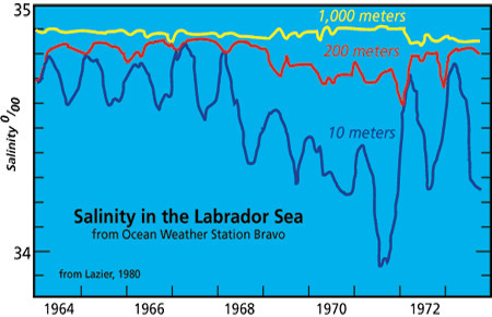
As with similar questions about a tree in the forest or a grain of sand on the beach, it may be hard to imagine that a few inches of rain matters to the deep ocean.
Alpha, Bravo, Charlie…
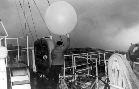
The ocean weather station idea originated in the early days of radio communications and trans-oceanic aviation. As early as 1921, the Director of the French Meteorological Service proposed establishing a stationary weather observing ship in the North Atlantic to benefit merchant shipping and the anticipated inauguration of trans-Atlantic air service. Up to then, temporary stations had been set up for special purposes such as the US Navy NC-4 trans-Atlantic flight in 1919 and the ill-fated Amelia Earhart Pacific flight in 1937.
Computer Modelers Stimulate Real and Potential Climate, Work Toward Prediction
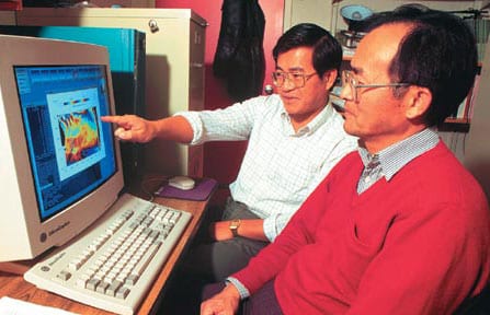
Although weather forecasting is accepted by the public as part of daily life, oceanic forecasting is not yet so advanced. There are, however, successful examples of oceanic forecasting—one is the newly developed skill to predict El Nino/Southern Oscillation (ENSO) events, largely due to improvements in ocean modeling.
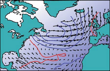
A Century of North Atlantic Data Indicates Interdecadal Change
For hundreds of years mariners have recorded the weather over the world ocean. Some 100 million marine weather reports have accumulated worldwide since 1854, when an international system for the collection of meteorogical data over the oceans was established. These reports include measurements of sea surface temperature, air temperature, wind, cloudiness, and barometric pressure. In the 1980s, the National Oceanic and Atmospheric Administration (NOAA) compiled these weather observations into a single, easily accessible digital archive called the Comprehensive Ocean-Atmosphere Data Set. This important data set forms the basis for our empirical knowledge of the surface climate and its variability over the world’s oceans: One example of a variable system is the phenomenon known as El Nino in the tropical Pacific. A major challenge in climate research is to use these data to document and understand the role of the oceans in long-term—decadal and centennial—climate change.
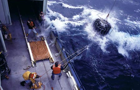
Oceans & Climate
The past decade has brought rapid scientific progress in understanding the role of the ocean in climate and climate change. The ocean is involved in the climate system primarily because it stores heat, water, and carbon dioxide, moves them around on the earth, and exchanges these and other elements with the atmosphere.
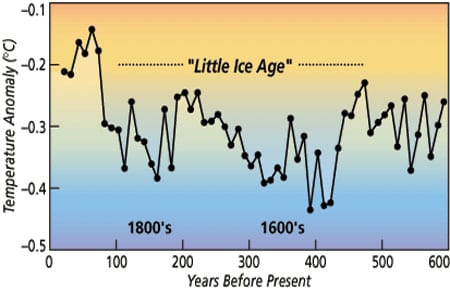
Sedimentary Record Yields Several Centuries of Data
Natural climate changes like the Little Ice Age and the Medieval Warm Period are of interest for a few reasons. First, they occur on decade to century time scales, a gray zone in the spectrum of climate change. Accurate instrumental data do not extend back far enough to document the beginning of these events, and historical data are often of questionable accuracy and are not widespread geographically.
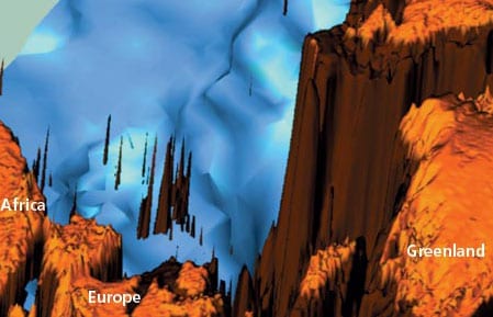
Transient Tracers Track Ocean Cimate Signals
Transient tracers provide us with a unique opportunity to visualize the effects of the changing climate on the ocean. They trace the pathways climate anomalies follow as they enter and move through the ocean and give us valuable information about rates of movement and amounts of dilution. This knowledge is important for developing ocean-climate models to predict long term climate changes.
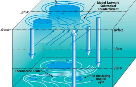
The El Niño/Southern Oscillation Phenomenon
The El Niño/Southern Oscillation (ENSO) phenomenon, an eastward shift of warm water in the tropical Pacific and associated effects on the atmosphere, is at the heart of global interannual climate variability.
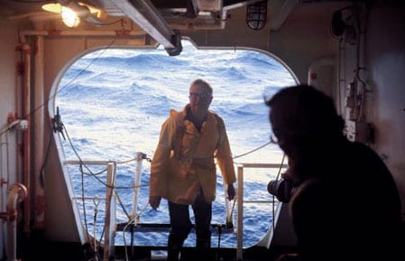
The Bermuda Station SA Long-Running Oceanographic Show
A time series of hydrographic measurements was initiated at Bermuda in 1954 and continues to the present. It began under the banner of the International Geophysical Year (1957-1958) with the scientific support of Henry Stommel of the Woods Hole Oceanographic Institution and William Sutcliffe, director of the Bermuda Biological Station (BBS). The scientists and personnel of the originating institutions have been the most active participants over the years, but the data have been widely used by the international oceanographic community. While other long time series of measurements in the North Atlantic began in association with weather ships, only the Bermuda measurements have a strong oceanographic focus.