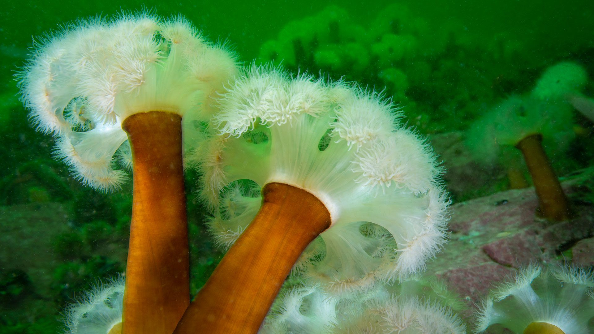
How shipwrecks helped a cold-water anemone move south
Researchers find fluffy anemones spreading south via shipwrecks, revealing how artificial reefs and ocean currents connect marine habitats
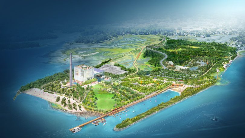
WHOI joins Manresa Wilds Project to help restore part of Connecticut’s coastline
Development of a new coastal green space and public park opens up access to ocean science in Long Island Sound
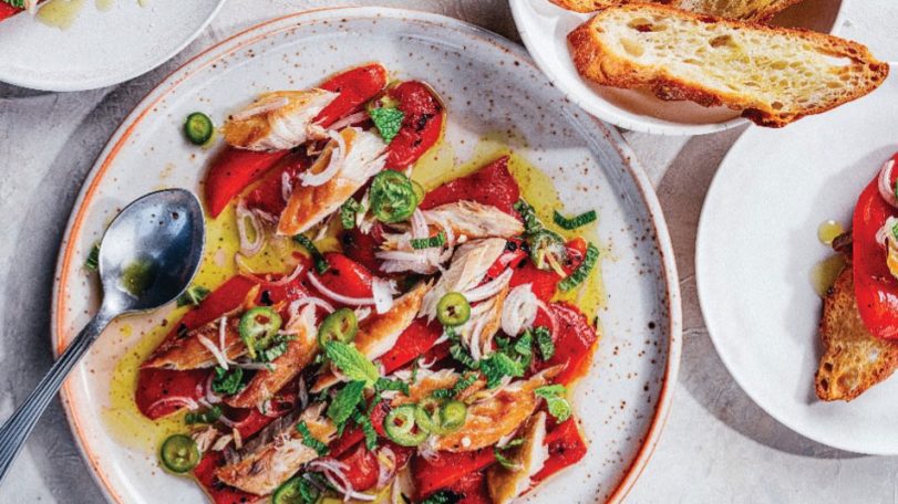
Recipe: Roasted peppers with smoked mackerel, mace, and mint
This seafood recipe by chef and author Barton Seaver is a great introduction to sustainable seafood
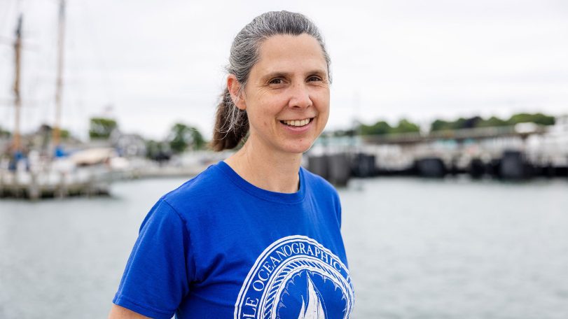
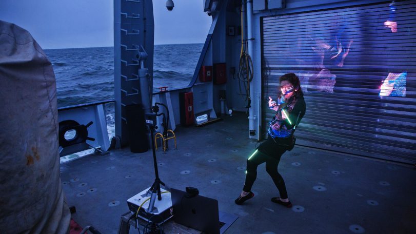
Sampling Gulf Stream plankton, one teaspoon at a time
Three questions with marine research technician Emily Peacock
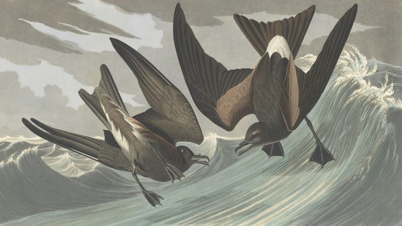
These seabirds fly toward cyclones, not away from them
New GPS tracking on petrels reveals a surprising survival strategy hidden in the eye of the storm
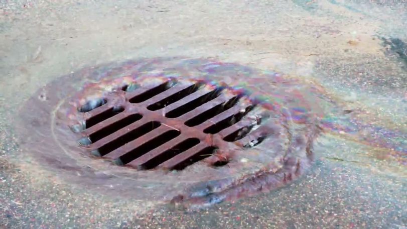
Are big spills the main source of ocean oil?
Evidence shows that smaller leaks on land contribute far more oil to our oceans

Reclaiming knowledge from the sea
Jordan Kennedy combines Indigenous knowledge, engineering, and observation to rethink how coastal landscapes are studied and restored. Her work on clam gardens and autonomous mapping systems explores how revitalizing these ancient systems can also reclaim knowledge and relationships between people, place, and practice.
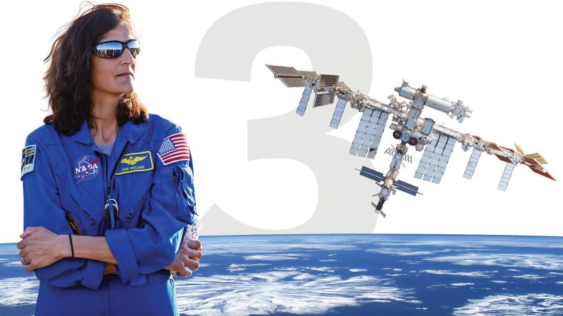
3 questions with a former NASA astronaut
WHOI Corporation Member Sunita Williams discusses space exploration, ocean science, and environmental stewardship
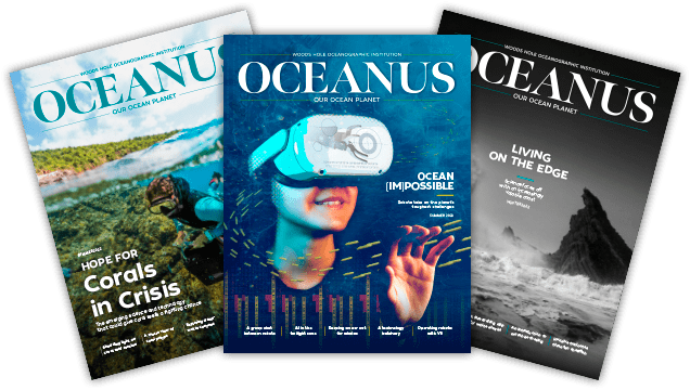
and get Oceanus delivered to your door twice a year as well as supporting WHOI's mission to further ocean science.
Our Ocean. Our Planet. Our Future.
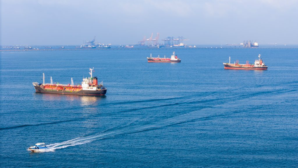
Ships in the Strait of Hormuz are becoming invasive species breeding grounds
Beneath the waterline of every ship stalled in the Persian Gulf, a thriving underwater city takes shape—barnacles, algae, mussels, sea squirts. Some of those hitchhikers could reach coastlines they’d never find on their own.
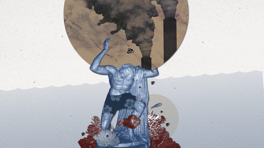
Is the ocean carbon sink at risk of faltering?
WHOI scientists explain how the ocean mitigates climate change—and could be compromised by it
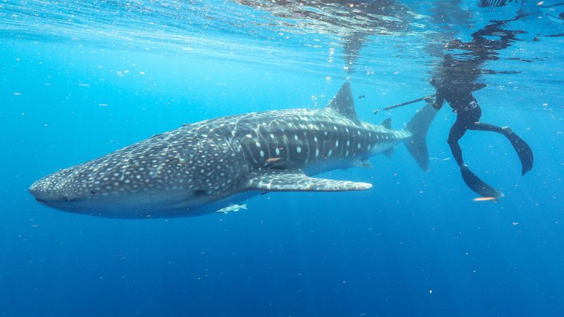
3 questions with Cam Braun
Marine biologist Camrin Braun explains why the world’s largest fish visit waters off Cape Cod—and what their epic migrations reveal about a changing ocean
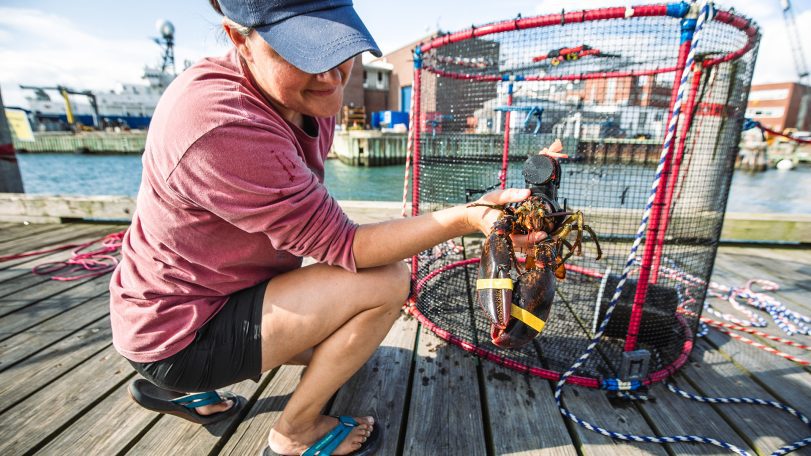
Is underwater noise from construction affecting the American Lobster?
WHOI’s Sensory Ecology Lab investigates whether an industrialized soundscape impacts the health of a New England icon
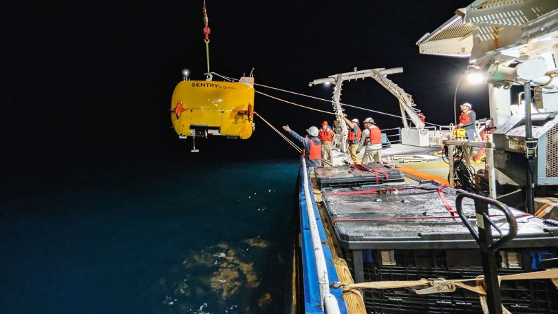
Exploring Atlantic seeps
AUV Sentry leads the way in mapping and monitoring methane bubbling from the seafloor
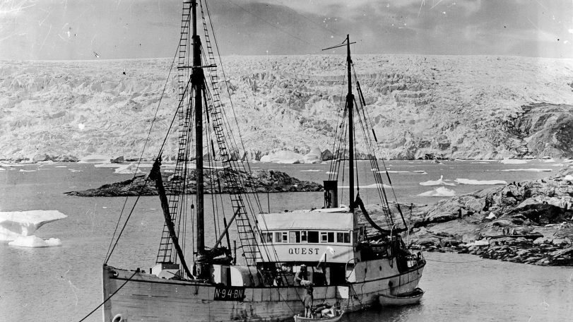
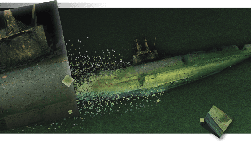
A once-in-a-generation dive into polar history
40 years after helping reveal the Titanic, Alvin returns to the North Atlantic to document two other legendary shipwrecks
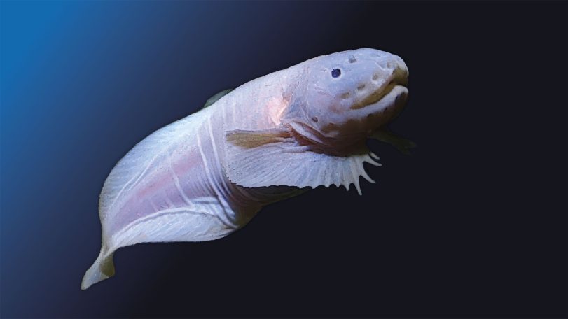
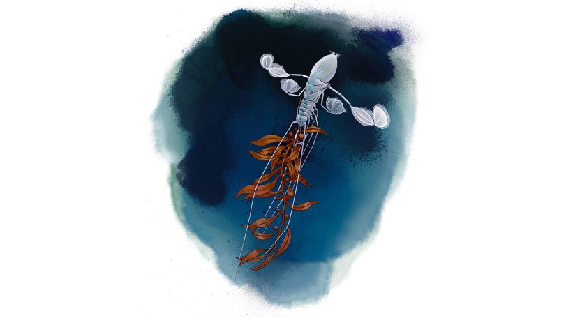
A hadal zone mystery solved
An upside-down swimming isopod shows how tightly we are connected to the deep ocean
Looking for something specific?
We can help you with that. Check out our extensive conglomeration of ocean information.
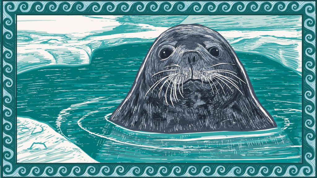
A mother seal dives
Follow a Weddell seal as her body adapts to foraging in deep, frigid waters
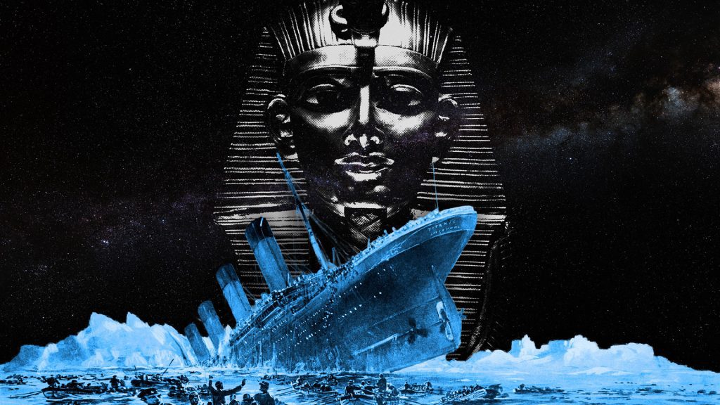
A mummy, a myth, and the Titanic
A 1986 handwritten letter to Bob Ballard revisits one of the Titanic disaster’s strangest myths
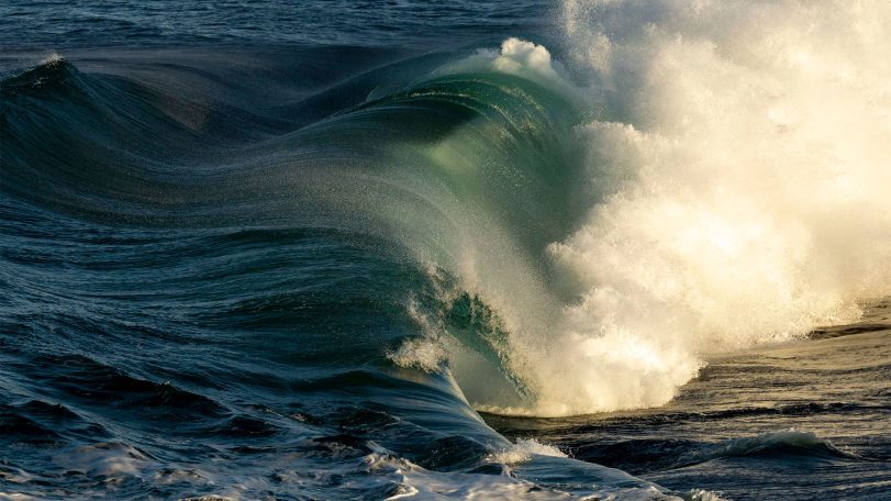
Turning motion into power: Wave energy converters for sustainable ocean monitoring
In the rapidly evolving world of ocean technology, wave energy is emerging as a promising…
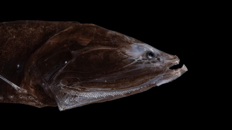
The world’s most abundant fish once thrived in an extreme climate
Fossilized teeth show bristlemouth fish evolved during one of the ocean’s hottest periods
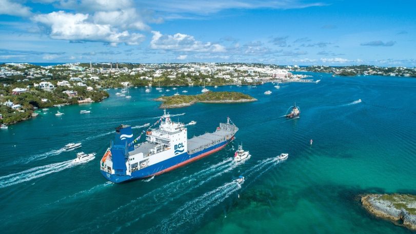
How a cargo ship is tracking hidden ocean life in the Atlantic
With funding support from CMA CGM, ocean observations aboard Bermuda Container Line’s M/V Oleander now include a window into microscopic life
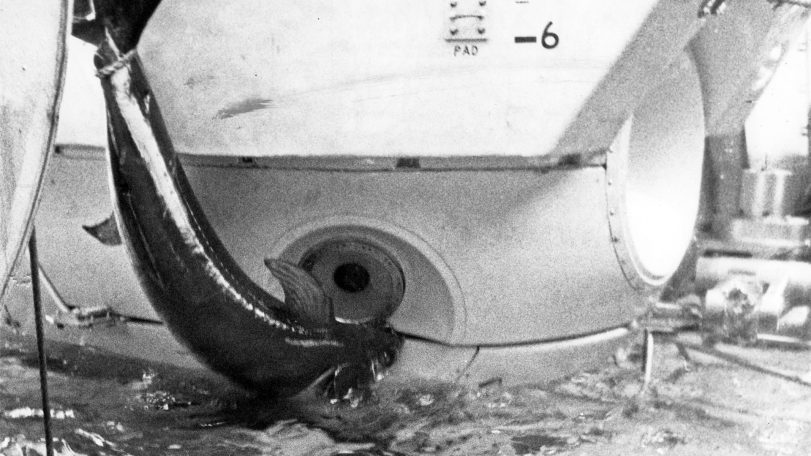
Alvin vs. the swordfish
During a 1967 dive off Florida, a startled swordfish rammed the famed submersible Alvin—lodging its sword in the hull and forcing the crew to abort the mission
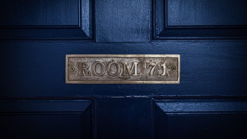
Inside Room 71: WHOI history in seven artifacts
Some of the technology, art, and gifts that tell the story of the institution’s early days
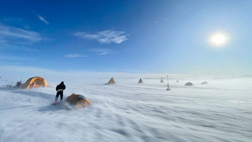
A scientist’s quest to find Earth’s oldest ice
After recovering ice that dates back 6 million years, Sarah Shackleton hopes to dig deeper into Earth’s history from a remote Antarctic moraine
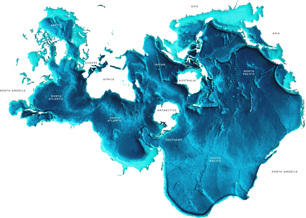
It’s the most ocean-friendly map ever created. Why haven’t more people seen it?
Discover the Spilhaus Projection, a radical world map that reveals Earth as one connected ocean—and reshapes how we see the planet.
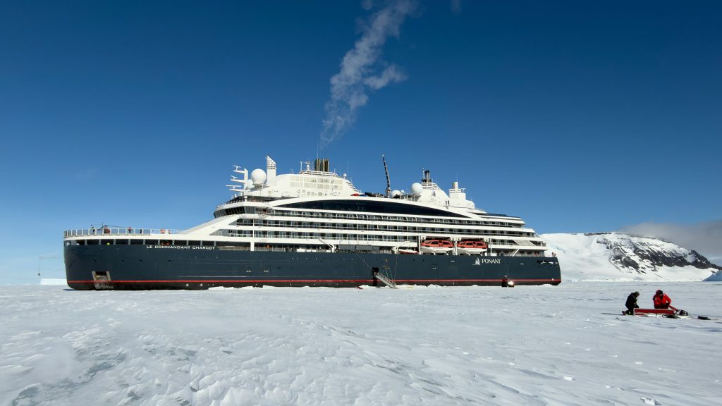
Luxury cruises with a side of climate science
A new partnership gives scientists rare access to remote Antarctic glaciers—and a new way to engage the public
Continental Margin Particle Flux
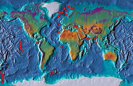
The boundaries between the oceans and the continents are dynamic regions for the production, recycling, and deposition of sedimentary particles. In general, rates of biological productivity along continental margins are significantly higher than in the open ocean. This is due to a variety of factors including coastal upwelling of nutrient-rich waters and nutrient input from continental runoff. While continental margins account for only about 10 percent of the global ocean area, 50 percent of the total marine organic carbon production is estimated to occur in this limited region, with much of it exported to the deep sea.
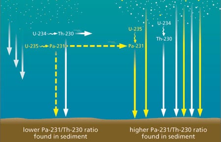
Geochemical Archives Encoded in Deep-Sea Sediments Offer Clues for Reconstructing the Ocean’s Role in Past Climatic Changes
Geochemical Archives Encoded in Deep-Sea Sediments Offer Clues for Reconstructing the Ocean’s Role in Past Climatic Changes
Paleoceanographers are trying to understand the causes and consequences of global climate changes that have occurred in the geological past. One impetus for gaining a better understanding of the factors that have affected global climate in the past is the need to improve our predictive capabilities for future climate changes, possibly induced by the rise of anthropogenic carbon dioxide (CO2) in the atmosphere.
Ground-Truthing the Paleoclimate Record
Sediment Trap Observations Aid Paleoceanographers
The geological record contains a wealth of information about Earth’s past environmental conditions. During its long geological history the planet has experienced changes in climate that are much larger than those recorded during human history; these environmental conditions range from periods when large ice sheets covered much of the northern hemisphere, as recently as 20,000 years ago, to past atmospheric concentrations of greenhouse gases that warmed Earth’s polar regions enough to melt all of the ice caps 50 million years ago. Since human civilization has developed during a fairly short period of unusually mild and stable climate, humans have yet to experience the full range of variability that the planet’s natural systems impose. Thus, the geological record has become an extremely important archive for understanding the range of natural variability in climate, the processes that cause climate change on decadal and longer time scales, and the background variability from which greenhouse warming must be detected
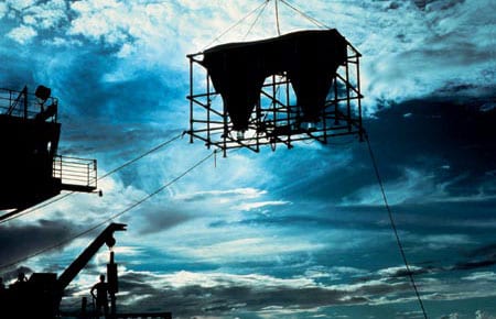
Catching the Rain: Sediment Trap Technology
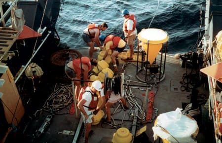
WHOI Senior Engineer Ken Doherty developed the first sediment trap in the late 1970s for what has come to be known as the WHOI PARFLUX (for “particle flux”) group. Working closely with the scientific community, Doherty has continued to improve sediment traps for two decades, and these WHOI-developed instruments are widely used both nationally and internationally in the particle flux research community.
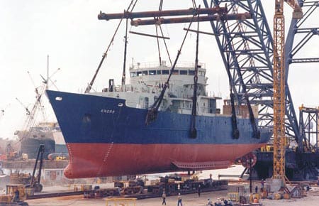
Replacing the Fleet
When R/V Atlantis arrived in Woods Hole for the first time on a bright, beautiful April 1997 day, it represented not only a welcome addition to the WHOI fleet but also the culmination of a 15-year UNOLS fleet modernization.
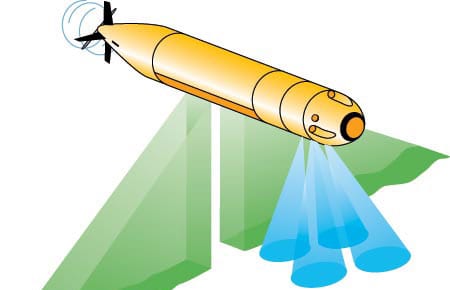
WHOI and Access to the Sea
In the mid-term future, two WHOI ships (Knorr in about 2006 and Oceanus in about 2009) will reach the end of their planned service lives. There is general agreement that WHOI should work to replace them with two vessels.
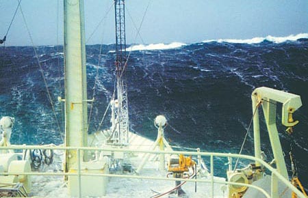
A Northern Winter
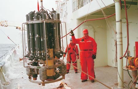
As the 1996-1997 ship schedule began to take shape in 1995, we learned that Voyage 147 would take R/V Knorr into the North Atlantic from October ’96 through March of ’97. The various science missions would require station keeping during CTD casts, deployment of current drifters, and expendable bathythermograph (XBT) launches, as well as weather system analysis designed to put Knorr in the path of the harshest weather conditions possible during the winter season. Long before the cruise, we began to tap all available assets that would help us with this challenge.
Adventure in the Labrador Sea
The sound of the general alarm bell reverberated through the ship. At 2:30 AM, this couldn’t be a drill. Even more puzzling, we were still dockside in Halifax, four hours from our scheduled departure for the Labrador Sea.
“What a Year!”
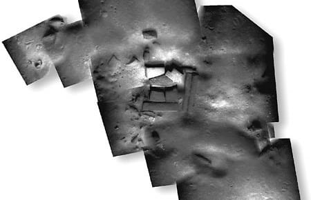
Four technologies that have been developing separately for some time were brought together this year by WHOI’s Deep Submergence Laboratory (DSL) to serve three very different user communities. With images from the towed vehicle Argo II and the remotely operated vehicle Jason, DSL scientists and engineers created mosaic images of a sunken British cargo ship and 20-meter-tall hydrothermal vent chimneys, both in the Pacific Ocean, and ancient shipwreck sites in the Mediterranean. The three expeditions thus served the marine safety, scientific, and archaeological communities.
Access to the Sea
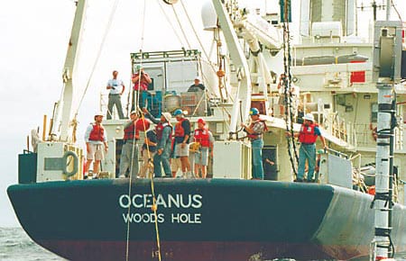
Oceanographic fieldwork has traditionally meant going to sea on a ship. In recent years, it has expanded to include activities that may require a ship for a short period but then continue independently. Floats that drift with ocean currents, periodically reporting their positions via satellite, for example, are generally launched from ships but do most of their work independently. Long-term seafloor observatories may need ships to set them up and service them occasionally, but, again, they are designed to collect data for long periods without needing a ship. We have come to think of the body of ways oceanographers glean information from the ocean as “access to the sea,” and so that is the topic for this issue of Oceanus.
The Magnetic Thickness of a Recent Submarine Lava Flow
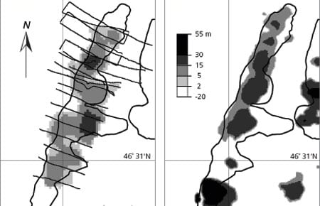
Submarine lava flows and their associated narrow feeder conduits known as dikes constitute the basic building blocks of the upper part of the ocean crust. We are only beginning to understand how lava erupts and forms on the seafloor by flooding topographic lows, flowing through channels or tubes, centralizing into volcanoes, or some combination of all of these.