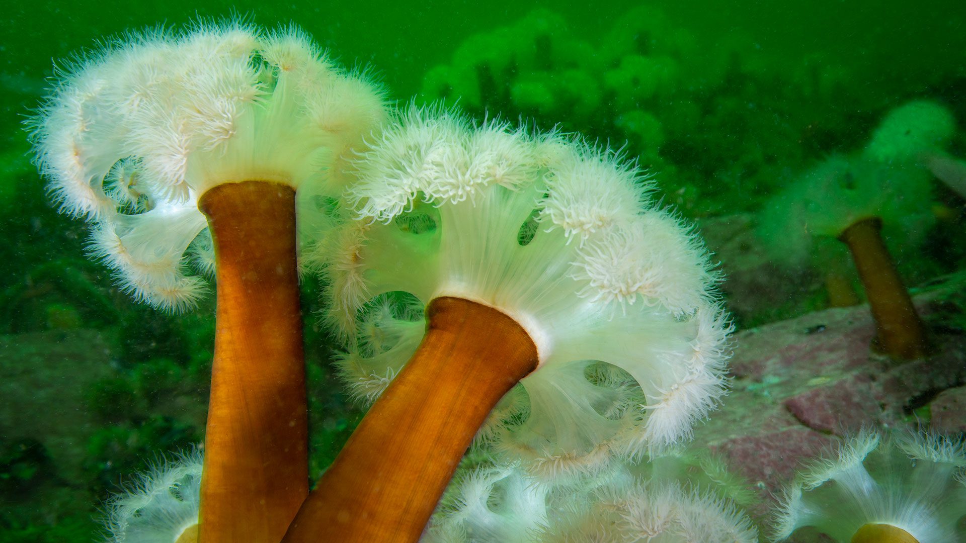
How shipwrecks helped a cold-water anemone move south
Researchers find fluffy anemones spreading south via shipwrecks, revealing how artificial reefs and ocean currents connect marine habitats
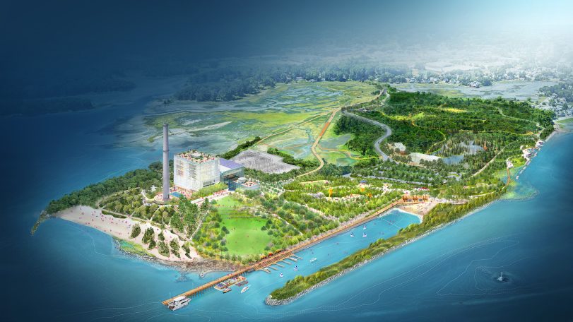
WHOI joins Manresa Wilds Project to help restore part of Connecticut’s coastline
Development of a new coastal green space and public park opens up access to ocean science in Long Island Sound

Recipe: Roasted peppers with smoked mackerel, mace, and mint
This seafood recipe by chef and author Barton Seaver is a great introduction to sustainable seafood
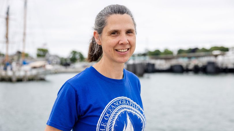
Sampling Gulf Stream plankton, one teaspoon at a time
Three questions with marine research technician Emily Peacock
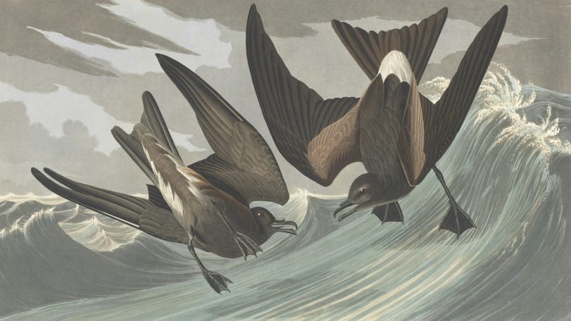
These seabirds fly toward cyclones, not away from them
New GPS tracking on petrels reveals a surprising survival strategy hidden in the eye of the storm
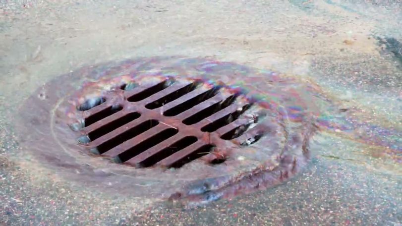
Are big spills the main source of ocean oil?
Evidence shows that smaller leaks on land contribute far more oil to our oceans

Reclaiming knowledge from the sea
Jordan Kennedy combines Indigenous knowledge, engineering, and observation to rethink how coastal landscapes are studied and restored. Her work on clam gardens and autonomous mapping systems explores how revitalizing these ancient systems can also reclaim knowledge and relationships between people, place, and practice.
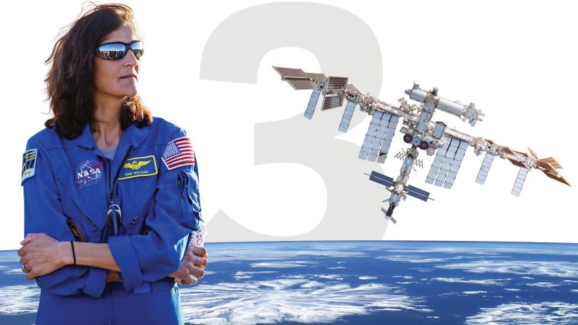
3 questions with a former NASA astronaut
WHOI Corporation Member Sunita Williams discusses space exploration, ocean science, and environmental stewardship
and get Oceanus delivered to your door twice a year as well as supporting WHOI's mission to further ocean science.
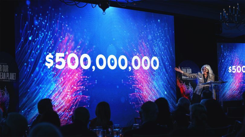
Our Ocean. Our Planet. Our Future.
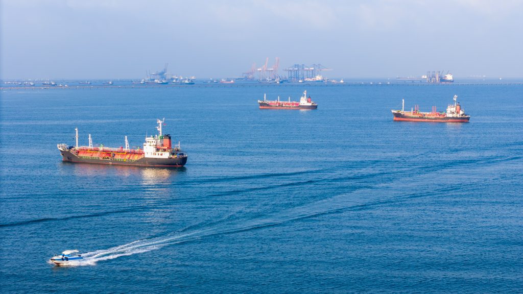
Ships in the Strait of Hormuz are becoming invasive species breeding grounds
Beneath the waterline of every ship stalled in the Persian Gulf, a thriving underwater city takes shape—barnacles, algae, mussels, sea squirts. Some of those hitchhikers could reach coastlines they’d never find on their own.
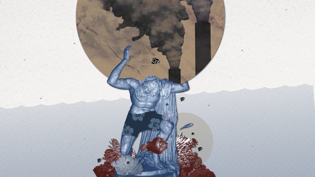
Is the ocean carbon sink at risk of faltering?
WHOI scientists explain how the ocean mitigates climate change—and could be compromised by it
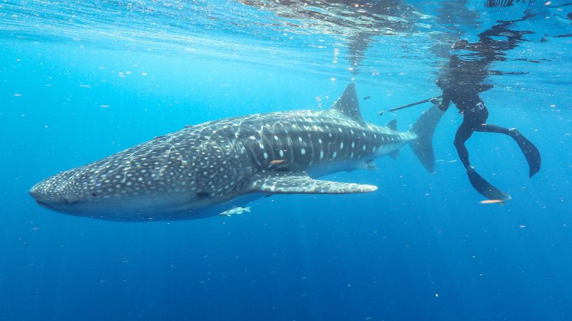
3 questions with Cam Braun
Marine biologist Camrin Braun explains why the world’s largest fish visit waters off Cape Cod—and what their epic migrations reveal about a changing ocean
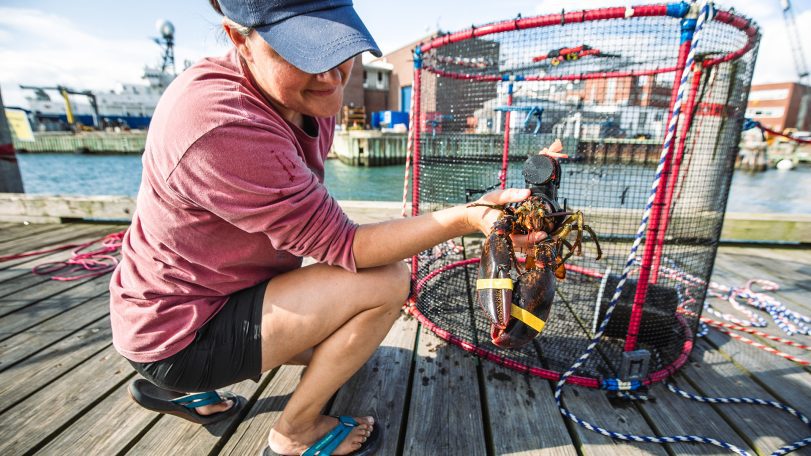
Is underwater noise from construction affecting the American Lobster?
WHOI’s Sensory Ecology Lab investigates whether an industrialized soundscape impacts the health of a New England icon
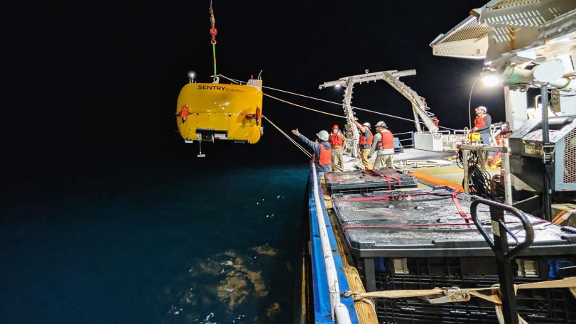
Exploring Atlantic seeps
AUV Sentry leads the way in mapping and monitoring methane bubbling from the seafloor
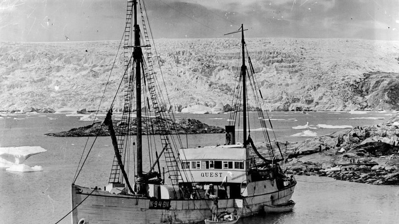
A once-in-a-generation dive into polar history
40 years after helping reveal the Titanic, Alvin returns to the North Atlantic to document two other legendary shipwrecks
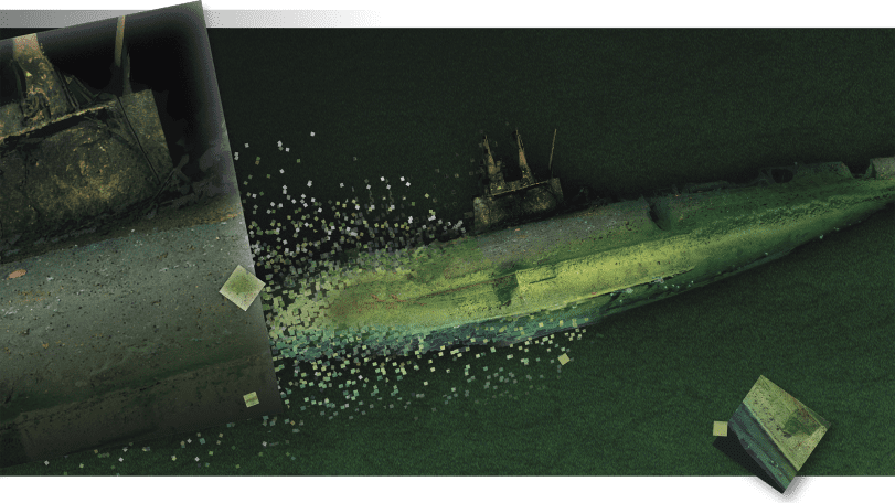
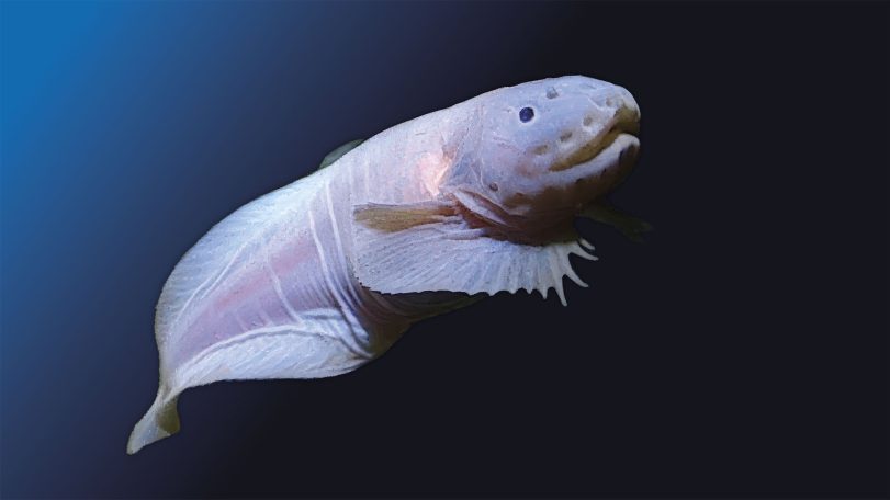
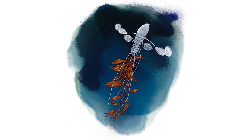
A hadal zone mystery solved
An upside-down swimming isopod shows how tightly we are connected to the deep ocean
Looking for something specific?
We can help you with that. Check out our extensive conglomeration of ocean information.
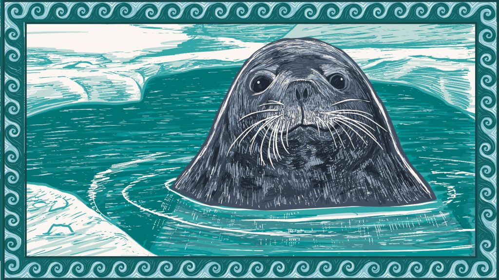
A mother seal dives
Follow a Weddell seal as her body adapts to foraging in deep, frigid waters
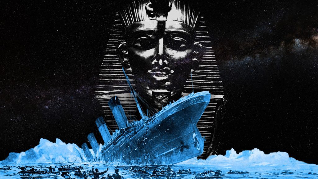
A mummy, a myth, and the Titanic
A 1986 handwritten letter to Bob Ballard revisits one of the Titanic disaster’s strangest myths
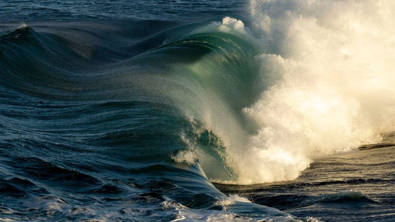
Turning motion into power: Wave energy converters for sustainable ocean monitoring
In the rapidly evolving world of ocean technology, wave energy is emerging as a promising…
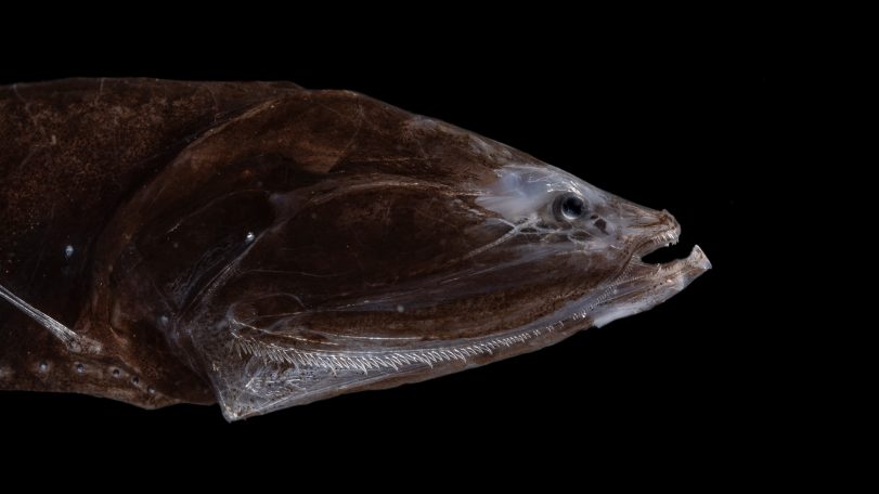
The world’s most abundant fish once thrived in an extreme climate
Fossilized teeth show bristlemouth fish evolved during one of the ocean’s hottest periods
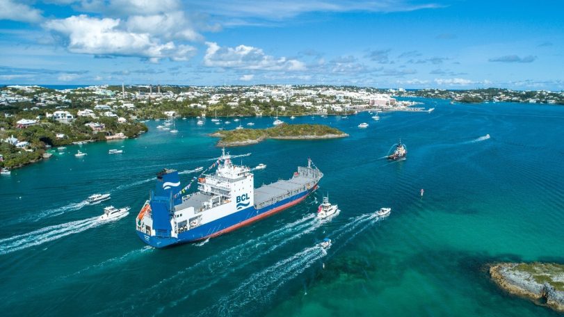
How a cargo ship is tracking hidden ocean life in the Atlantic
With funding support from CMA CGM, ocean observations aboard Bermuda Container Line’s M/V Oleander now include a window into microscopic life
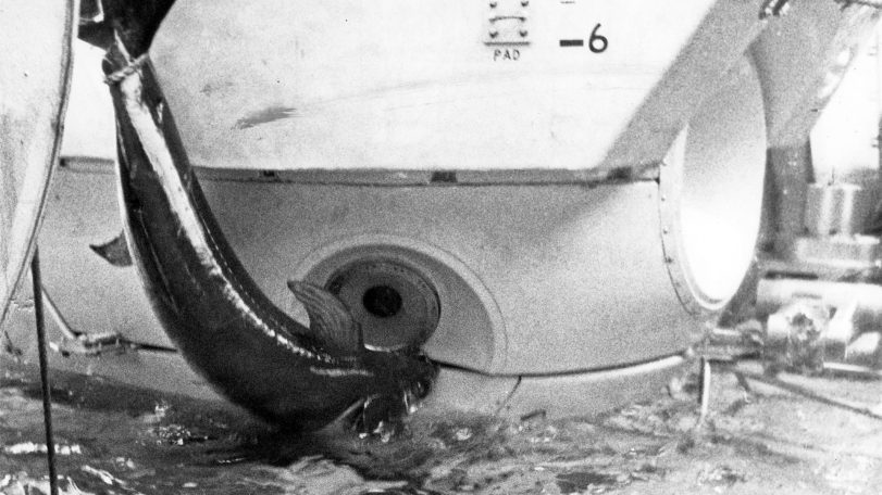
Alvin vs. the swordfish
During a 1967 dive off Florida, a startled swordfish rammed the famed submersible Alvin—lodging its sword in the hull and forcing the crew to abort the mission

Inside Room 71: WHOI history in seven artifacts
Some of the technology, art, and gifts that tell the story of the institution’s early days
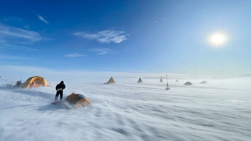
A scientist’s quest to find Earth’s oldest ice
After recovering ice that dates back 6 million years, Sarah Shackleton hopes to dig deeper into Earth’s history from a remote Antarctic moraine
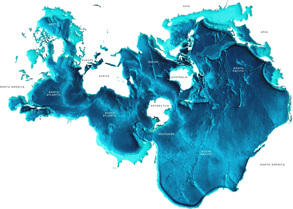
It’s the most ocean-friendly map ever created. Why haven’t more people seen it?
Discover the Spilhaus Projection, a radical world map that reveals Earth as one connected ocean—and reshapes how we see the planet.
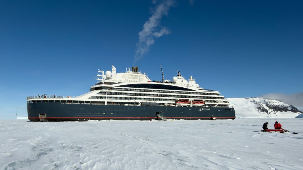
Luxury cruises with a side of climate science
A new partnership gives scientists rare access to remote Antarctic glaciers—and a new way to engage the public
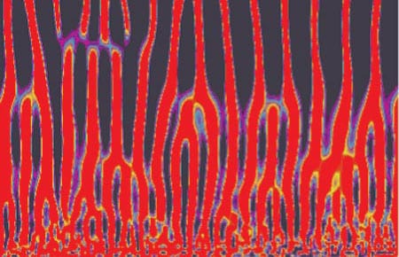
Melt Extraction from the Mantle Beneath Mid-Ocean Ridges
As the oceanic plates move apart at mid-ocean ridges, rocks from Earth’s mantle, far below, rise to fill the void, mostly via slow plastic flow.
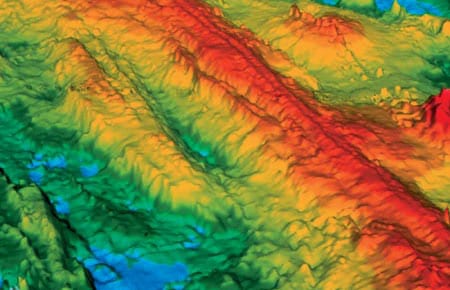
Exploring The Global Mid-Ocean Ridge
There is a natural tendency in scientific investigations for increased specialization. Most important advances are made by narrowing focus and building on the broad foundation of earlier, more general research.
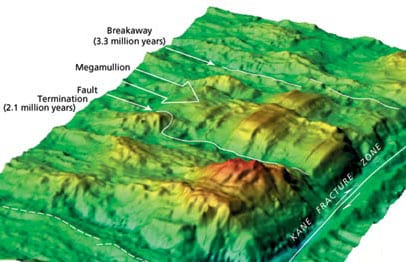
Discovery of “Megamullions” Reveals Gateways Into the Ocean Crust and Upper Mantle
urposes. From the end of the nineteenth into the first half of the twentieth century, drilling was used to penetrate the reef and uppermost volcanic foundation of several oceanic islands, and these glimpses of oceanic geology whetted the scientific community’s appetite for deeper and more complete data.
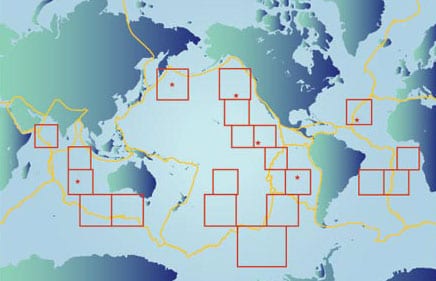
Ocean Seismic Network Seafloor Observatories
Our knowledge of the physical characteristics of Earth’s deep interior is based largely on observations of surface vibrations that occur after large earthquakes. Using the same techniques as CAT (Computer Aided Tomography) scans in medical imaging, seismologists can “image” the interior of our planet. But just as medical imaging requires sensors that surround the patient, seismic imaging requires sensors surrounding the earth.
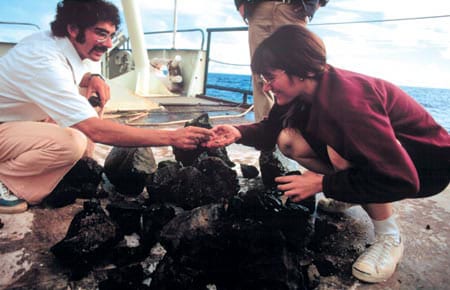
The Women of FAMOUS
My FAMOUS story begins during my first year in graduate school at Dalhousie University in Nova Scotia.
A Current Affair
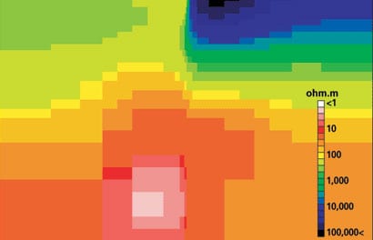
oal of probing the earth’s inaccessible deep interior. But the technique remains something of a mystery even to many marine scientists. It has been used widely on land, particularly for regional-scale surveys, but only a few full-scale MT surveys have been carried out on the seafloor.
The Oceanic Flux Program
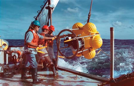
The predawn hours at sea have a unique feel—an eerie stillness, regardless of weather. This morning is no exception as the Bermuda Biological Station’s R/V Weatherbird II approaches the OFP (Oceanic Flux Program) sediment trap mooring some 75 kilometers southeast of Bermuda.
Marine Snow and Fecal Pellets
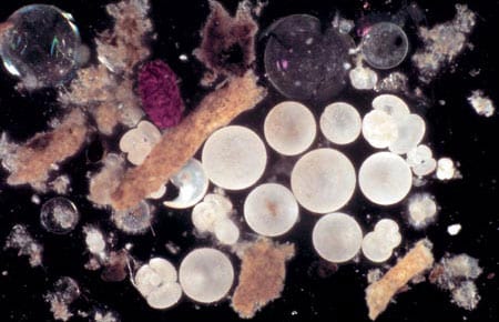
Until about 130 years ago, scholars believed that no life could exist in the deep ocean. The abyss was simply too dark and cold to sustain life. The discovery of many animals living in the abyssal environment by Sir Charles Wyville Thompson during HMS Challenger’s 1872-1876 circumnavigation stunned the late 19th century scientific community far more than we can now imagine.
Extreme Trapping
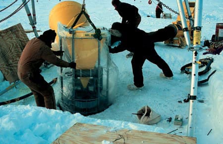
One of oceanography’s major challenges is collection of data from extraordinarily difficult environments. For those who use sediments traps, two examples of difficult environments are the deepest oceans and the permanently ice-covered Arctic Basin.
The Rain of Ocean Particles and Earth’s Carbon Cycle
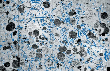
WHOI Phytoplankton photosynthesis has provided Earth’s inhabitants with oxygen since early life began. Without this process the atmosphere would consist of carbon dioxide (CO2) plus a small amount of nitrogen, the atmospheric pressure would be 60 times higher than the air we breathe, and the planet’s air temperatures would hover around 300°C. (Conditions similar to these are found on Earth’s close sibling Venus.
Deploying the Rain Catchers
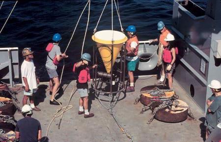
Deployment of a deep-ocean sediment trap mooring begins with the ship heading slowly into the wind.
Monsoon Winds and Carbon Cycles in the Arabian Sea
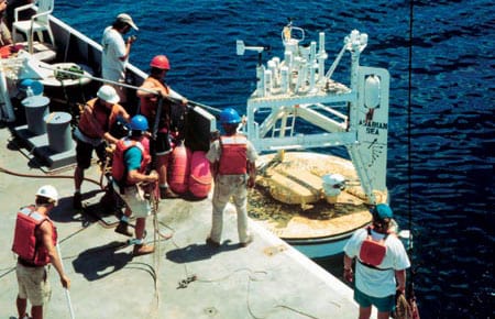
The monsoon, a giant sea breeze between the Asian massif and the Indian Ocean, is one of the most significant natural phenomena that influences the everyday life of more than 60 percent of the world’s population.