
Image
All Together
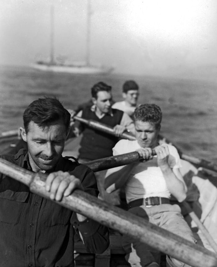
August 13, 2011Members of a 1947-48 cruise row back R/V Atlantis to the (visible in the background). The primary purpose of the six-month “Med Cruise” was to prepare bathymetric charts of the Agean seafloor in the event of a Soviet naval threat coming from the Black Sea. At the time, making such maps was done using the relatively new single-beam echo-sounders that measured the distance to a single point beneath an instrument trailed over the side of the ship. Today, the same work is carried out much more efficiently and with much more accuracy using modern multi-beam sonar systems mounted on the bottom of a ship’s hull.(Photo courtesy of Woods Hole Oceanographic Institution Archives)
Image and Visual Licensing
WHOI copyright digital assets (stills and video) contained on this website can be licensed for non-commercial use upon request and approval. Please contact WHOI Digital Assets at images@whoi.edu or (508) 289-2647.