
(Photo by United States Fish and Wildlife Service, ©Public Domain)
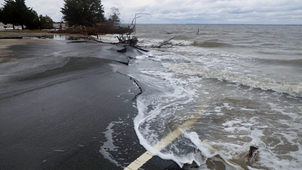
People around the world are worried about rising sea levels. Much of this increase comes from melting polar ice and ocean waters that expand as they warm. But along many coastlines, sea level rises much more than we might expect simply from changes in the ocean. That’s because the land in those areas is sinking.
Land can sink for many reasons. Some, like movement of Earth’s crust, are natural. An earthquake can cause a quick shift in elevation as an entire section of the crust moves. Sinkholes can form when flowing water erodes rock beneath the surface. But land also sinks because of human activity. This can be due to using groundwater, pumping oil or natural gas, or exposing soils in wetlands and other areas that begin to decompose.
The earth beneath our feet isn’t just solid rock. In some places, layers of rock are made up of tiny grains of sediment. These can be tiny, like clay or silt, or they can be larger sediments, like sand or gravel. Where these sediments build up into thick layers, they create a network of tiny pores. Water flows through these spaces between the sediment grains. Over thousands of years, rain and snowfall have added water to these areas, creating underground aquifers. An aquifer isn’t an underground lake; it’s more like a sopping wet sponge.
The water inside an aquifer pushes against the sediment grains, holding them apart. When people dig a well to remove some of that water, they suck the water out like a straw. Just like ice cubes in a cold drink, the pieces of sediment clump together as the liquid is removed. This causes the land surface above to sink. When the sediments are large, like sand or gravel, the pores between them don’t close up completely. These areas can refill when more water is added. But in areas with clay and silt, the pores are tiny. When water is removed, the grains stick together, forever closing those pores to water. In these areas, the drop in land surface is permanent.
Ground water is often removed to water crops, supply water to people living in large cities, and supply water to factories. Over the last century, areas like California’s San Joaquin Valley have experienced extreme sinking. The land dropped nine meters (nearly 30 feet) in just 52 years because groundwater was used to water crops. Removing oil and natural gas has a similar effect on the land.
When wetlands are drained, they expose soil that is rich in organic matter. Once these soils are exposed to the air, that carbon begins to break down. This process creates carbon dioxide that is lost to the atmosphere. The layers of soil decrease over time, causing the land to sink. These areas are often drained to allow people to construct buildings. The weight of these structures presses down on the soil, compacting it even more. A number of large coastal cities may be underwater by 2100 due to a combination of land sinking and sea level rise.
RELATED INFORMATION

LEARN MORE
Sea Level Rise
Sea level rise is expected to continue for centuries and may impact human and the natural environment.
Groundwater
Groundwater is water that exists underground in the spaces between grains of sand or gravel or in the cracks and fractures in solid rock—part of the global water cycle.
Water Cycle
The water cycle describes the continuous movement of water on, above and below the surface of the Earth.
Ocean & Human Lives
The oceans are critical to human life, and ocean scientists are working to investigate the untapped potential of the sea in order to maximize these benefits.
Bagheri-Gavosh, M. et al. Land subsidence; A global challenge. Science of the Total Environment, vol. 778. July 2021. doi: 10.1016/j.scitotenv.2021.146193.
El Shinawi, A. et al. Land subsidence and environmental threats in coastal aquifers under sea level rise and over-pumping stress. Journal of Hydrology, vol. 608. May 2022. doi: 10.1016/j.hydrol.2022.127607.
Galloway, D. et al. Land subsidence in the United States. U.S. Geological Survey Circular 1182. 1999. https://pubs.usgs.gov/circ/circ1182/#pdf
Shirzaei, M. et al. Measuring, modelling, and projecting coastal land subsidence. Nature Reviews Earth & Environment, vol. 2. 2021. doi: 10.1038/s43017-020-0015x.
USGS. Land Subsidence. March 2, 2019. https://www.usgs.gov/mission-areas/water-resources/science/land-subsidence#overview
DIVE INTO MORE OCEAN FACTS
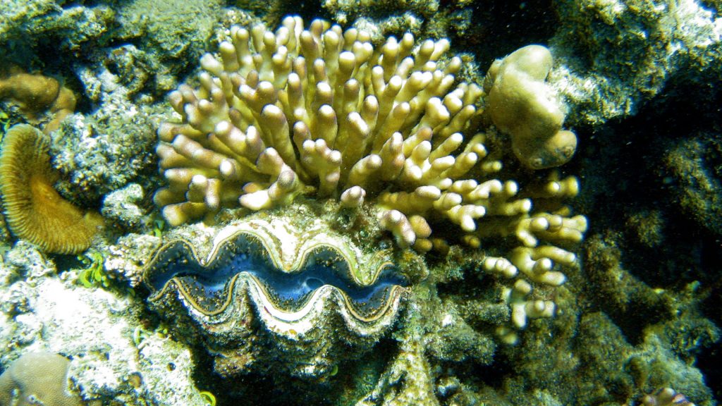
Are corals plants, animals, or rocks?
The base of a coral reef is coral, but what is coral? If you look at a piece of coral that washed up on shore, it’s solid and tough with rough edges and little pits.
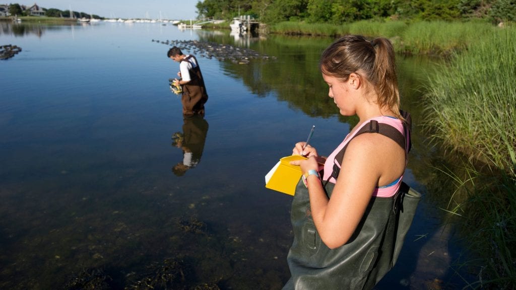
How do I become an oceanographer?
Like all scientists, oceanographers are curious. Students who are curious about all things ocean might make great oceanographers. So how do you become one?
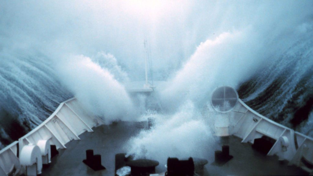
What is a rogue wave?
Behemoth waves are more than just folklore. Learn the science behind these deadly swells
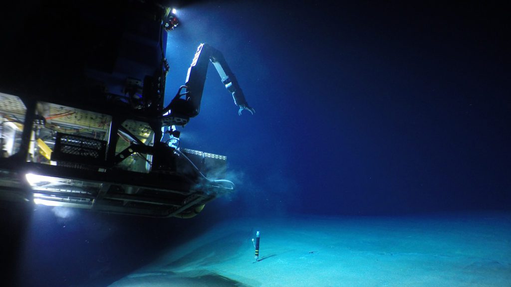
How do ocean robots take the pressure?
Find out how engineers build robots to withstand the crushing pressures of the deep sea