
News Releases
Arc volcanoes are wetter than previously thought, with scientific and economic implications
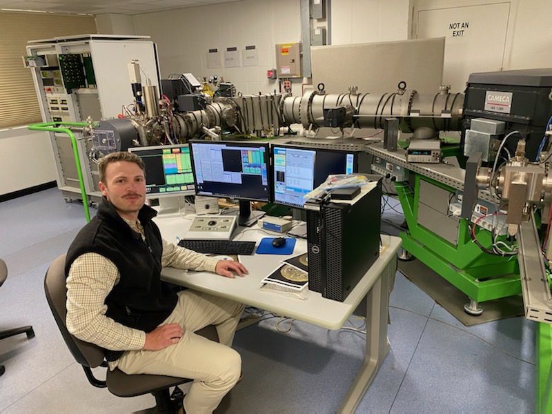
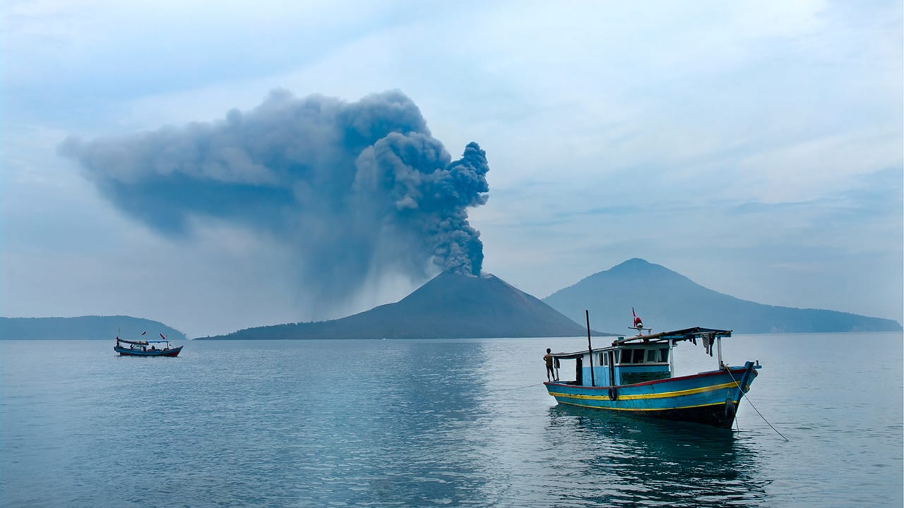
This increased amount of water has broad implications for understanding how Earth’s lower crust forms, how magma erupts through the crust, and how economically important mineral ore deposits form, according to a new paper led by authors from the Woods Hole Oceanographic Institution (WHOI).
Read More“Mantle wind” blows through slab window beneath Panama
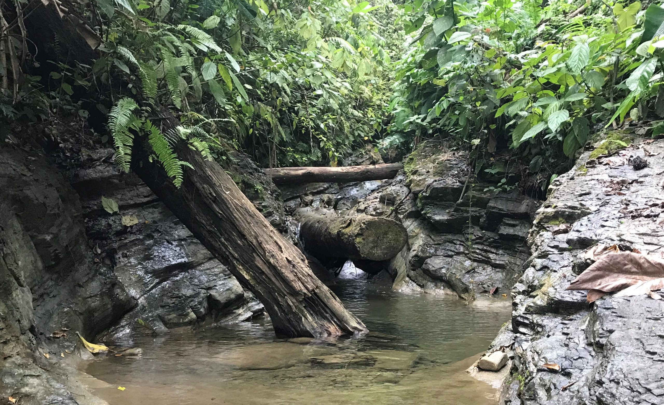
A Woods Hole Oceanographic Institution-led team unravels the existence of a 900-mile-long mantle conduit between the Galapagos and Central America Woods Hole, MA — Volcanic gases are helping researchers track…
Read MoreNew geochemical tool reveals origin of Earth’s nitrogen
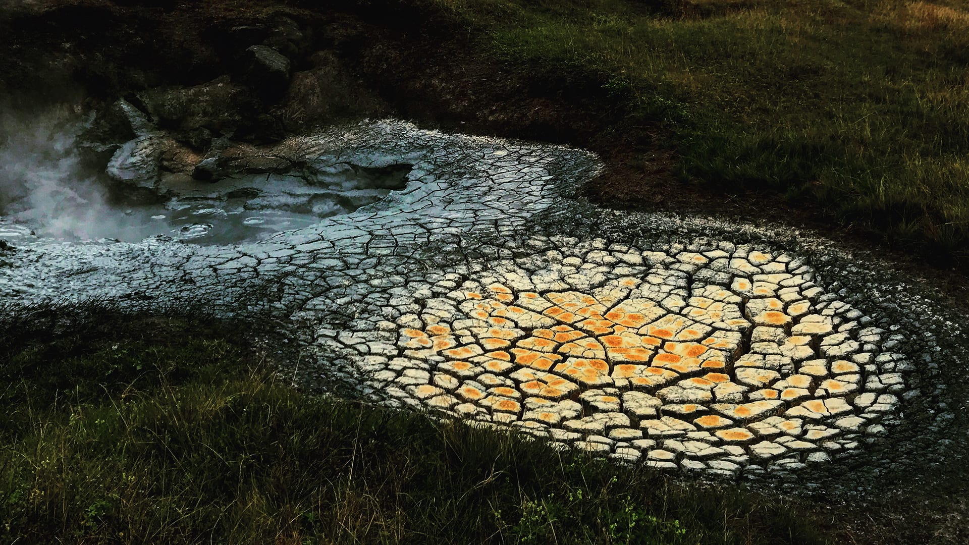
A new geochemical tool sheds light on the origin of nitrogen and other volatile elements on Earth, which may also prove useful as a way to monitor the activity of volcanoes
Read MoreA Close-up Look at a Rare Underwater Eruption
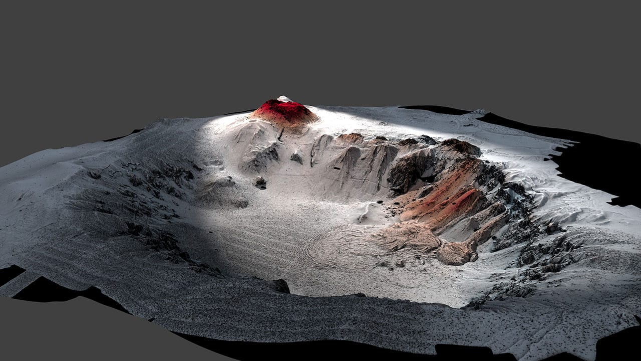
A new paper published January 10, 2018, in the journal Science Advances describes the first up-close investigation of the largest underwater volcanic eruption of the past century. The international research team led by the University of Tasmania and the Woods Hole Oceanographic Institution (WHOI) used the autonomous underwater vehicle (AUV) Sentry and the remotely operated vehicle (ROV) Jason to explore, map, and collect erupted materials from the Havre volcano during a 2015 expedition. They found that the eruption was surprising in many ways.
Read MoreVolcanic Arcs Form by Deep Melting of Rock Mixtures
A new study published in the journal Science Advances changes our understanding of how volcanic arc lavas are formed, and may have implications for the study of earthquakes and the risks of volcanic eruption.
Read MoreWHOI-Operated ROV Jason Images the Discovery of the Deepest Explosive Eruption on the Sea Floor
Oceanographers using the remotely operated vehicle (ROV) Jason discovered and recorded the first video and still images of a deep-sea volcano actively erupting molten lava on the seafloor. Jason, designed…
Read MoreGeologists Discover Signs of Volcanoes Blowing their Tops in the Deep Ocean
A WHOI research team has uncovered evidence of explosive volcanic eruptions deep beneath the ice-covered surface of the Arctic Ocean. Such violent eruptions of splintered, fragmented rock?known as pyroclastic deposits?were not thought possible at great ocean depths because of the intense weight and pressure of water and because of the composition of seafloor magma and rock.
Read MoreResearchers Compile Most Detailed Map of an Underwater Eruption
Examining more than 50,000 seafloor images, geologists have created the most detailed map ever assembled for a volcanic eruption along a fast-spreading mid-ocean ridge. Researchers from the Woods Hole Oceanographic…
Read MoreReal-Time Seismic Monitoring Station Installed Atop Active Underwater Volcano
This week, researchers will begin direct monitoring of the rumblings of a submarine volcano in the southeastern Caribbean Sea. On May 6, a team of scientists led by the Woods…
Read MoreSmoke and Sulfur: Undersea Vehicle Captures Footage of Volcanic Eruption
Dramatic new video of a long-term volcanic eruption in the western Pacific first discovered in 2004 has been captured during a recent cruise by the remotely operated vehicle JASON, developed…
Read MoreScientists Find Active Underwater Volcano East of Samoa
Marine geologists from the Woods Hole Oceanographic Institution (WHOI) and the Scripps Institution of Oceanography (SIO) have confirmed the existence of an active underwater volcano east of Samoa. The volcano, recently named VailuluA?u by local students, is located about 28 miles east of TaA?u Island and rises more than 16,400 feet from the seafloor to within 2,000 feet of the ocean surface. The scientists found billowing “smoggy” water in the summit and extending out for more than five miles.
Read MoreActive 14,000 Foot Submarine Volcano Found near Samoa in South Pacific
An active volcano rising more than 4,300 meters (over 14,100 feet) from the ocean floor in the Samoa Islands has been discovered by a team of U.S. scientists, providing more evidence to the scientific debate over the formation of hot spot island chains. The volcano, more than 35 kilometers (about 22 miles) across at its base, rises to within 600 meters (about 2,000 feet) of the surface; its peak is marked by a circular caldera some two kilometers (over 1 mile) across and 400 meters (1,300 feet) deep. It is similar in size to Mt. Whitney in California, the largest mountain in the contiguous 48 U.S. states.
Read More