The unseen toll of war on science
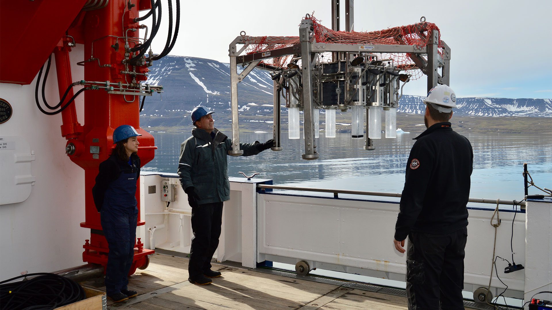
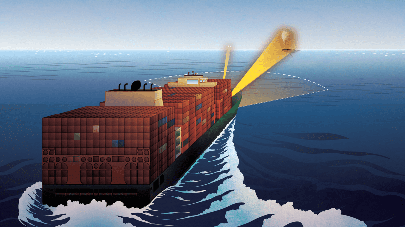
As the changing climate accelerates the spread of toxic algal blooms in the Arctic, the Russia–Ukraine war is cutting off critical international collaboration needed to understand and protect vulnerable ecosystems and communities.

The human cost of Brazil’s floods
New research maps social vulnerability after the 2024 deluge

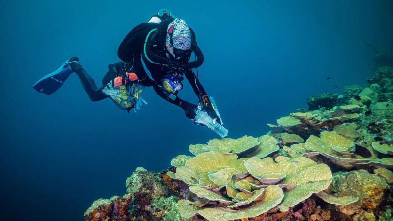
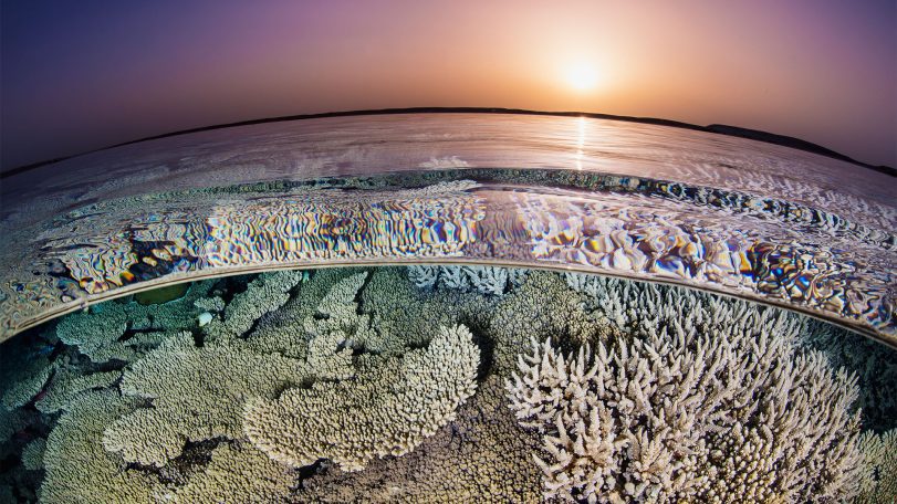
From ruin to reef
What Pacific wrecks are teaching us about coral resilience—and pollution
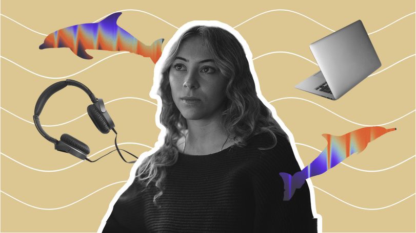
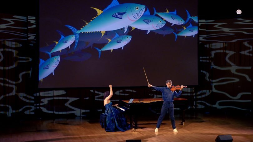
One researcher, 15,000 whistles: Inside the effort to decode dolphin communication
Scientists at WHOI analyze thousands of dolphin whistles to explore whether some sounds may function like words
Remembering Tatiana Schlossberg, a voice for the ocean
Environmental journalist and author Tatiana Schlossberg passed away after battling leukemia on December 30, 2025….
As the ocean warms, a science writer looks for coral solutions
Scientist-turned-author Juli Berwald highlights conservation projects to restore coral reefs
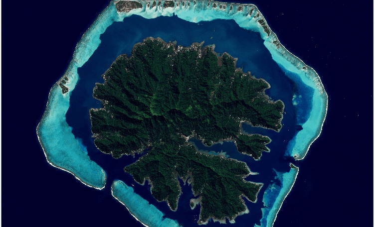
How an MIT-WHOI student used Google Earth to uncover a river–coral reef connection
Google Earth helps researcher decode how rivers sculpt massive breaks in coral reefs

and get Oceanus delivered to your door twice a year as well as supporting WHOI's mission to further ocean science.
Our Ocean. Our Planet. Our Future.
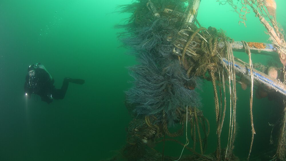
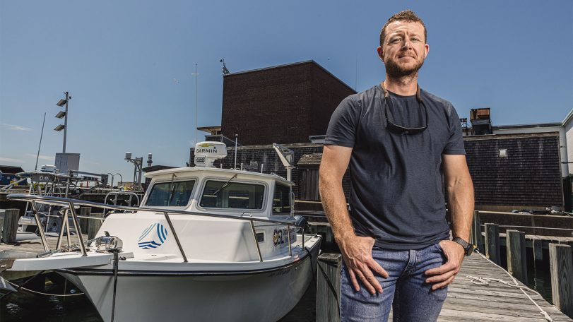
A new underwater robot could help preserve New England’s historic shipwrecks
WHOI’s ResQ ROV to clean up debris in prominent marine heritage sites

The little big picture
WHOI senior biologist Heidi Sosik on the critical need for long-term ocean datasets
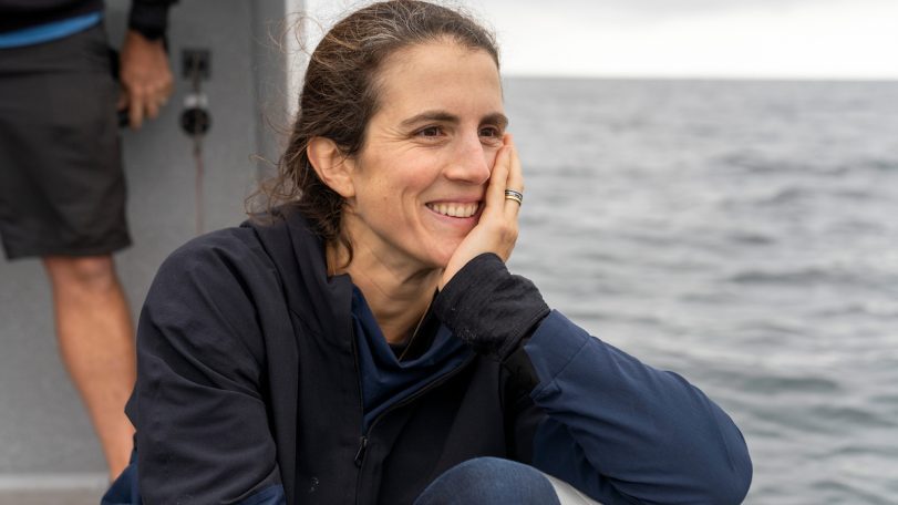
Lessons from a lifetime of exploration
Award-winning ocean photographer Brian Skerry shares insights from a career spent around ocean life and science

The ocean weather nexus, explained
The vital role of ocean observations in extreme weather forecasting

Breaking down plastics together
Through a surprising and successful partnership, WHOI and Eastman scientists are reinventing what we throw away
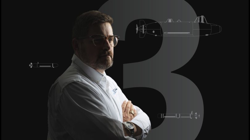
Three questions with Carl Hartsfield
Captain Hartsfield, USN retired, discusses the role ocean science plays in our national defense
The Ocean (Re)Imagined
How expanding our view of the ocean can unlock new possibilities for life
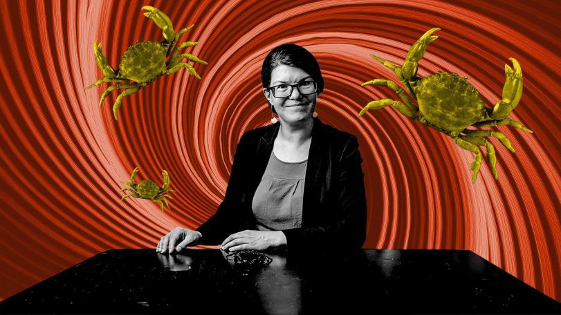
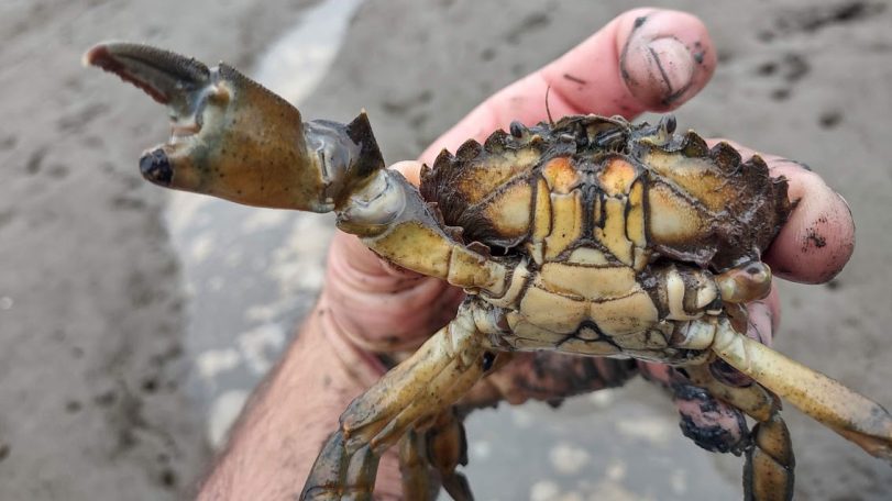
Body snatchers are on the hunt for mud crabs
WHOI biologist Carolyn Tepolt discusses the biological arms race between a parasite and its host

Looking for something specific?
We can help you with that. Check out our extensive conglomeration of ocean information.
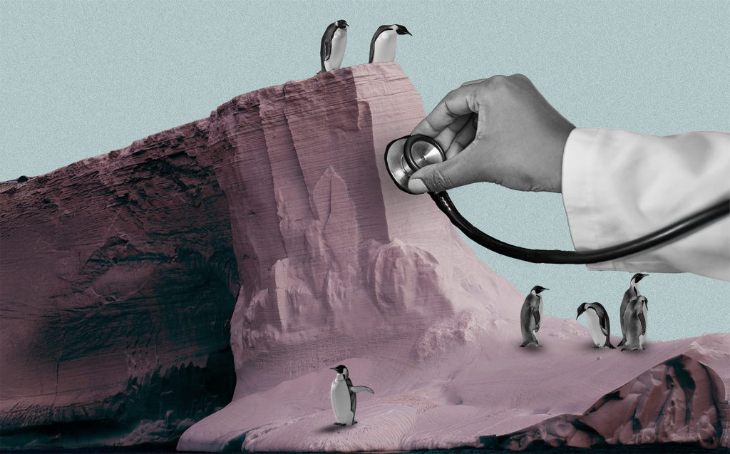
A polar stethoscope
Could the sounds of Antarctica’s ice be a new bellwether for ecosystem health in the South Pole?
Secrets from the blue mud
Microbes survive—and thrive—in caustic fluids venting from the seafloor
Top 5 ocean hitchhikers
As humans traveled and traded across the globe, they became unwitting taxis to marine colonizers

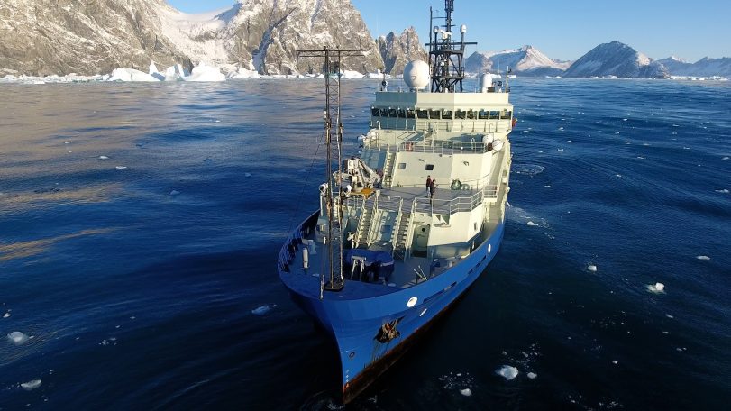
Following the Polar Code
Crew of R/V Neil Armstrong renew their commitment to Arctic science with advanced polar training

Harnessing the ocean to power transportation
WHOI scientists are part of a team working to turn seaweed into biofuel
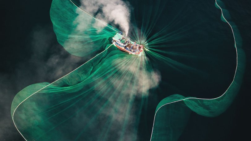
Casting a wider net
The future of a time-honored fishing tradition in Vietnam, through the eyes of award-winning photographer Thien Nguyen Noc
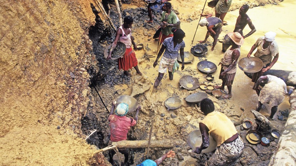
Gold mining’s toxic legacy
Mercury pollution in Colombia’s Amazon threatens the Indigenous way of life

How do you solve a problem like Sargassum?
An important yet prolific seaweed with massive blooms worries scientists
The Oceanic Flux Program
The predawn hours at sea have a unique feel—an eerie stillness, regardless of weather. This morning is no exception as the Bermuda Biological Station’s R/V Weatherbird II approaches the OFP (Oceanic Flux Program) sediment trap mooring some 75 kilometers southeast of Bermuda.
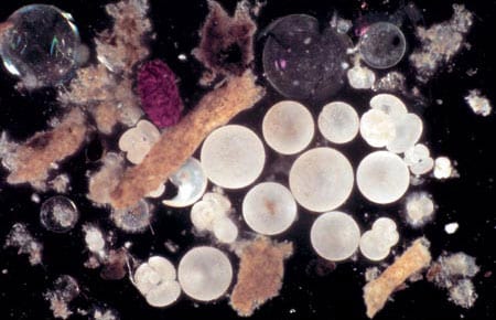
Marine Snow and Fecal Pellets
Until about 130 years ago, scholars believed that no life could exist in the deep ocean. The abyss was simply too dark and cold to sustain life. The discovery of many animals living in the abyssal environment by Sir Charles Wyville Thompson during HMS Challenger’s 1872-1876 circumnavigation stunned the late 19th century scientific community far more than we can now imagine.
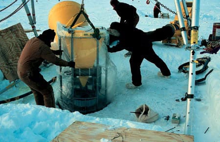
Extreme Trapping
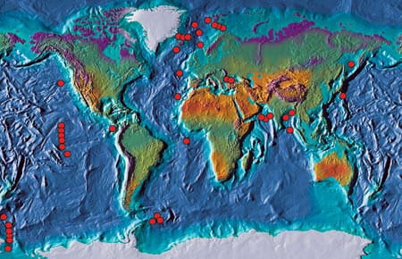
One of oceanography’s major challenges is collection of data from extraordinarily difficult environments. For those who use sediments traps, two examples of difficult environments are the deepest oceans and the permanently ice-covered Arctic Basin.
The Rain of Ocean Particles and Earth’s Carbon Cycle
WHOI Phytoplankton photosynthesis has provided Earth’s inhabitants with oxygen since early life began. Without this process the atmosphere would consist of carbon dioxide (CO2) plus a small amount of nitrogen, the atmospheric pressure would be 60 times higher than the air we breathe, and the planet’s air temperatures would hover around 300°C. (Conditions similar to these are found on Earth’s close sibling Venus.
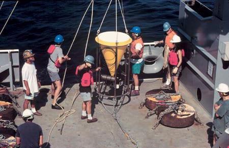
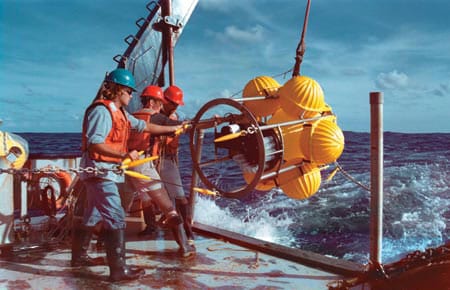
Deploying the Rain Catchers
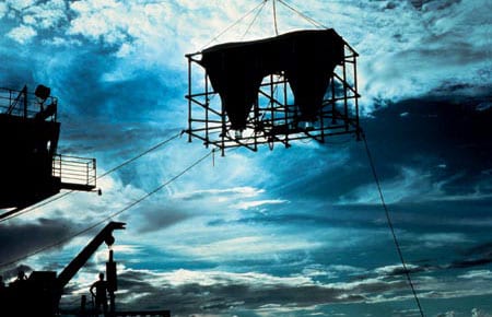
Deployment of a deep-ocean sediment trap mooring begins with the ship heading slowly into the wind.
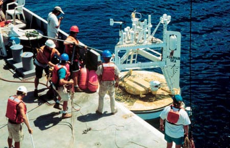
Monsoon Winds and Carbon Cycles in the Arabian Sea
The monsoon, a giant sea breeze between the Asian massif and the Indian Ocean, is one of the most significant natural phenomena that influences the everyday life of more than 60 percent of the world’s population.
Continental Margin Particle Flux
The boundaries between the oceans and the continents are dynamic regions for the production, recycling, and deposition of sedimentary particles. In general, rates of biological productivity along continental margins are significantly higher than in the open ocean. This is due to a variety of factors including coastal upwelling of nutrient-rich waters and nutrient input from continental runoff. While continental margins account for only about 10 percent of the global ocean area, 50 percent of the total marine organic carbon production is estimated to occur in this limited region, with much of it exported to the deep sea.
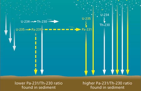
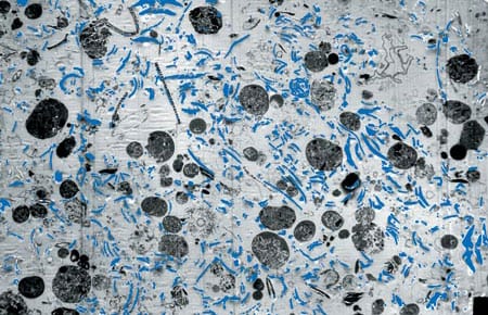
Geochemical Archives Encoded in Deep-Sea Sediments Offer Clues for Reconstructing the Ocean’s Role in Past Climatic Changes
Geochemical Archives Encoded in Deep-Sea Sediments Offer Clues for Reconstructing the Ocean’s Role in Past Climatic Changes
Paleoceanographers are trying to understand the causes and consequences of global climate changes that have occurred in the geological past. One impetus for gaining a better understanding of the factors that have affected global climate in the past is the need to improve our predictive capabilities for future climate changes, possibly induced by the rise of anthropogenic carbon dioxide (CO2) in the atmosphere.
Ground-Truthing the Paleoclimate Record
Sediment Trap Observations Aid Paleoceanographers
The geological record contains a wealth of information about Earth’s past environmental conditions. During its long geological history the planet has experienced changes in climate that are much larger than those recorded during human history; these environmental conditions range from periods when large ice sheets covered much of the northern hemisphere, as recently as 20,000 years ago, to past atmospheric concentrations of greenhouse gases that warmed Earth’s polar regions enough to melt all of the ice caps 50 million years ago. Since human civilization has developed during a fairly short period of unusually mild and stable climate, humans have yet to experience the full range of variability that the planet’s natural systems impose. Thus, the geological record has become an extremely important archive for understanding the range of natural variability in climate, the processes that cause climate change on decadal and longer time scales, and the background variability from which greenhouse warming must be detected
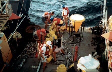
Catching the Rain: Sediment Trap Technology
WHOI Senior Engineer Ken Doherty developed the first sediment trap in the late 1970s for what has come to be known as the WHOI PARFLUX (for “particle flux”) group. Working closely with the scientific community, Doherty has continued to improve sediment traps for two decades, and these WHOI-developed instruments are widely used both nationally and internationally in the particle flux research community.
Replacing the Fleet
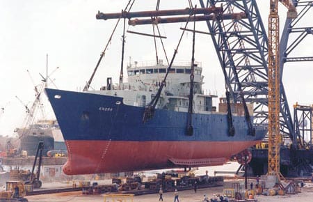
When R/V Atlantis arrived in Woods Hole for the first time on a bright, beautiful April 1997 day, it represented not only a welcome addition to the WHOI fleet but also the culmination of a 15-year UNOLS fleet modernization.