Cold, quiet, and carbon-rich:
Investigating winter wetlands
WORDS AND PHOTOGRAPHS BY BRADY CLARKE
Coastal wetlands play a vital role in absorbing carbon from the atmosphere and reducing the impacts of storm surge. Along the Atlantic Coast and the Gulf of Mexico, wetlands help prevent an estimated $39.54 billion annually in damages from inundation. However, these critical ecosystems are increasingly threatened by sea level rise, coastal development, pollution, and erosion. In fact, their rate of decline has increased by 50% since 2009. As these challenges mount, WHOI assistant scientist Julia Guimond, in collaboration with Dr. Meagan Eagle at the United States Geological Survey (USGS) Woods Hole Science Center and Joseph Tamborski at Old Dominion University, has begun a three-year study in multiple wetlands along the Gulf of Maine to fill key gaps in our understanding, particularly winter contributions to carbon storage and coastal protection. This work will help scientists and policymakers better predict and manage the future of coastal wetlands, ensuring these ecosystems can continue to protect communities, support fisheries, and store carbon in a rapidly changing climate.
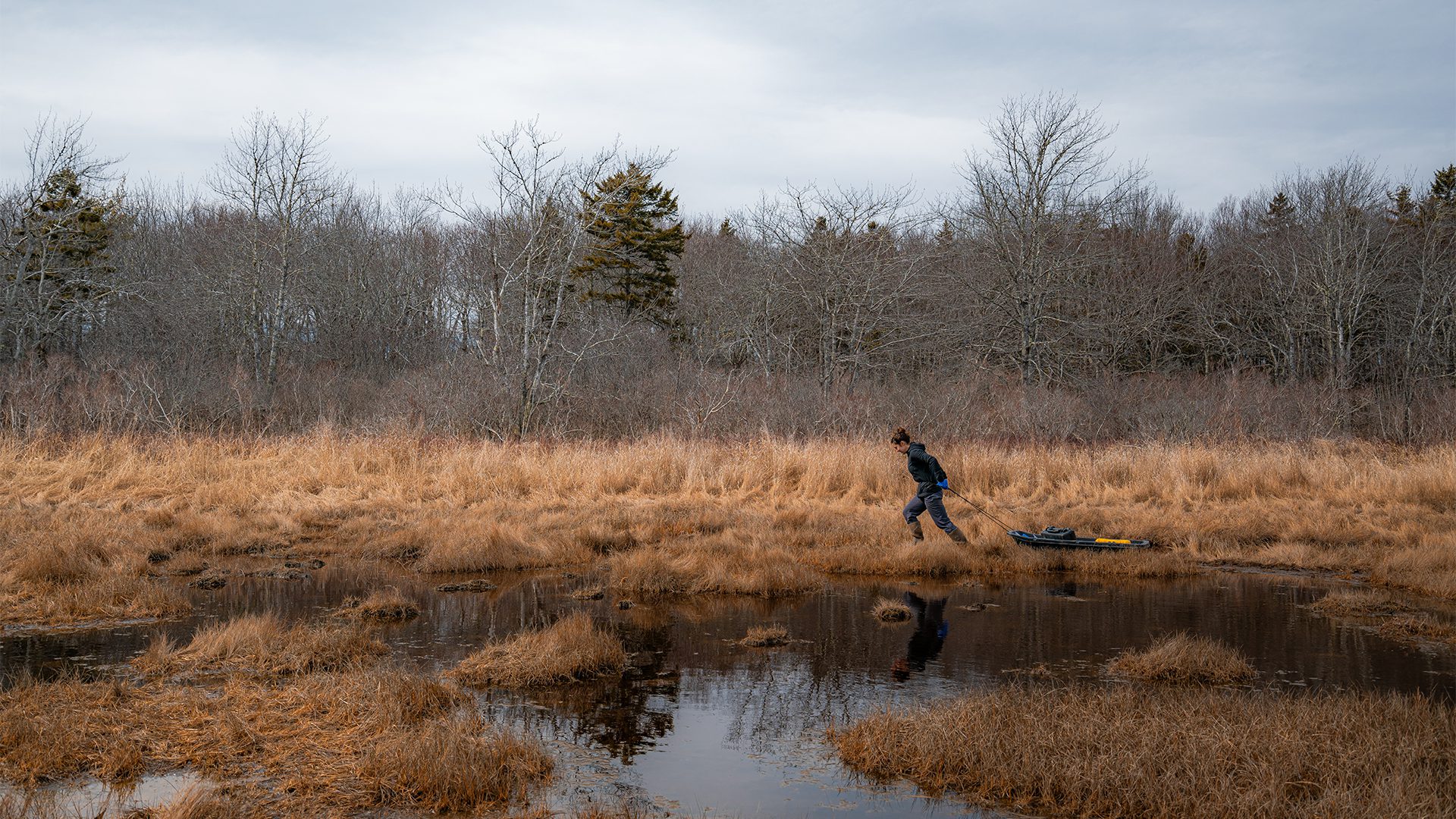
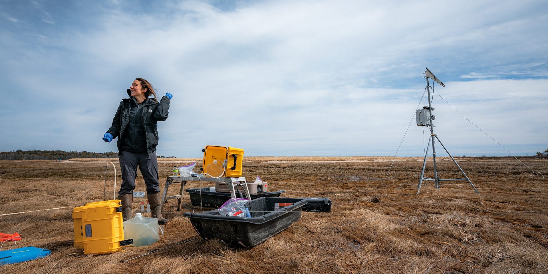
In the dead of winter, the wind rips across a flattened marsh and through leafless trees that offer little protection. The once-busy beaches of Southern Maine have only the occasional visit from herring gulls braving the winter months. The silence this time of year is often interrupted only by planes passing overhead, but at the Wells National Estuarine Research Reserve, you’ll hear the faint crunch of boots and the rhythmic beat of a portable water pump.
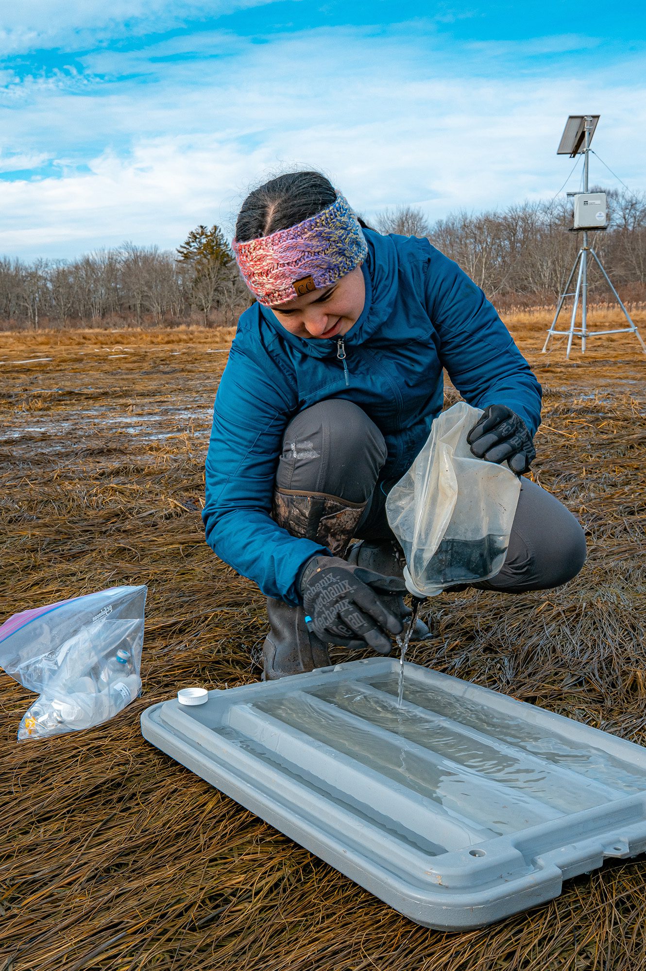
“There’s very little information on what’s happening in these marshes in the winter,” says said Julia Guimond, a WHOI coastal hydrologist. “I didn't realize until I started doing Arctic and winter saltmarsh fieldwork how precious and scarce all of this cold-region and cold-season data is.” The team is collecting groundwater, temperature, and water chemistry data — information that is rare in the winter since most fieldwork happens only during the warmer months, leaving a critical seasonal blind spot in the understanding of wetland function.
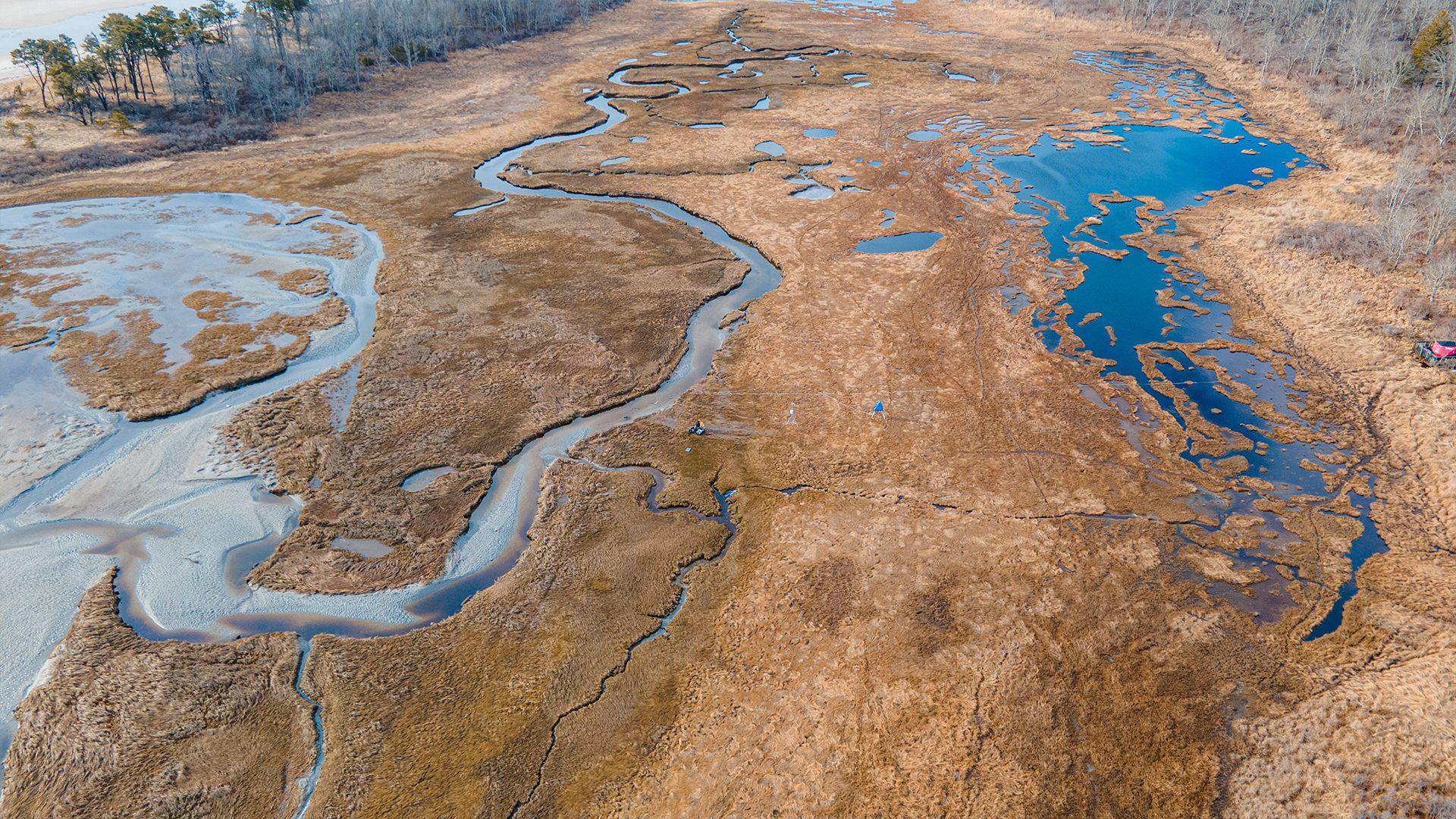
Not only do marsh ecosystems offer protection, but they also support the economic well-being of local communities in New England, which rely on fishing, tourism, and recreation. Some of the highest value commercial fishery species, such as crabs, lobster, and scallops, rely on coastal wetlands for at least part of their life and require healthy ecosystems to survive. Understanding and protecting wetlands means protecting the livelihood and culture of coastal communities.
What’s in the marsh?
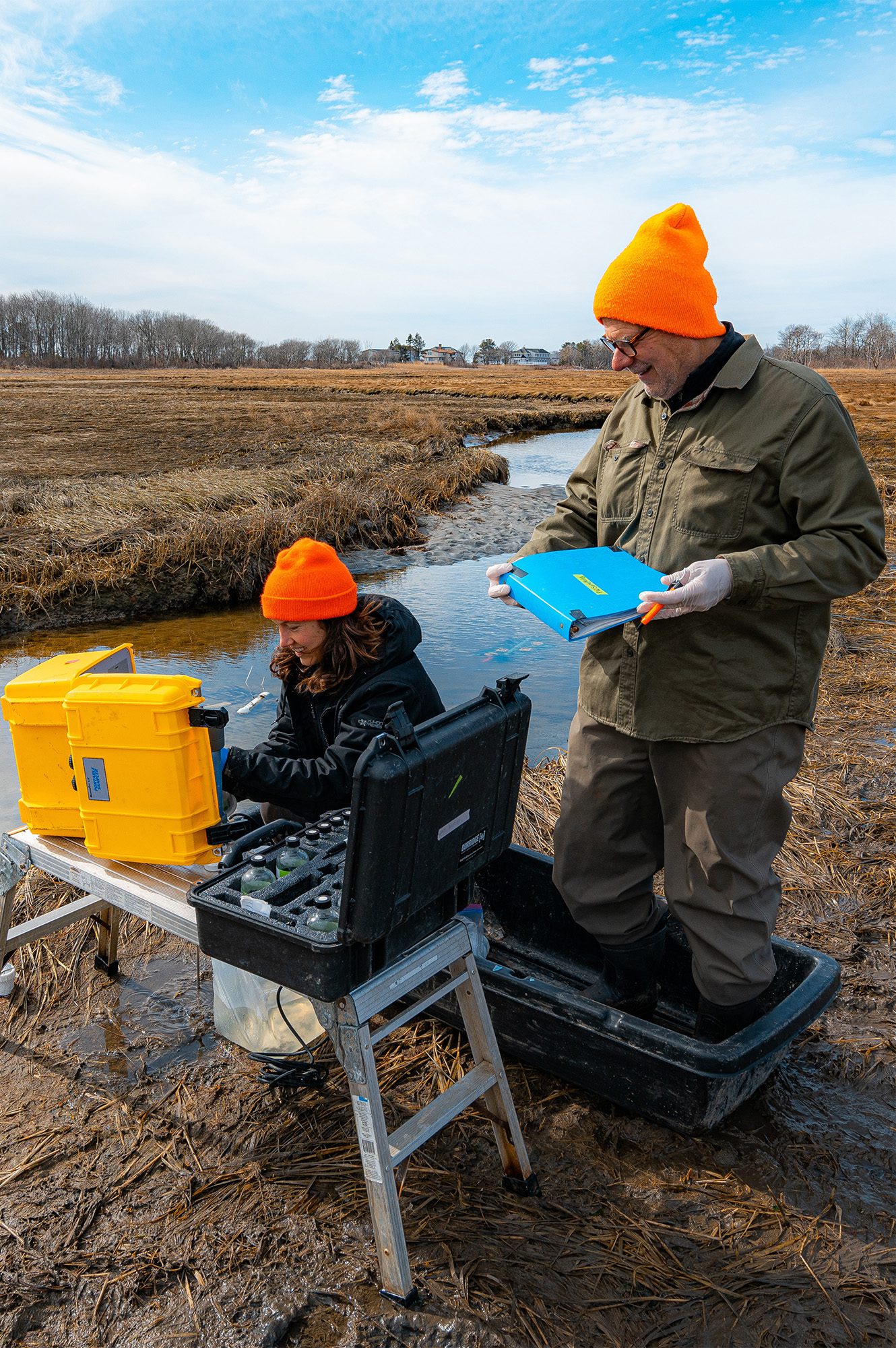
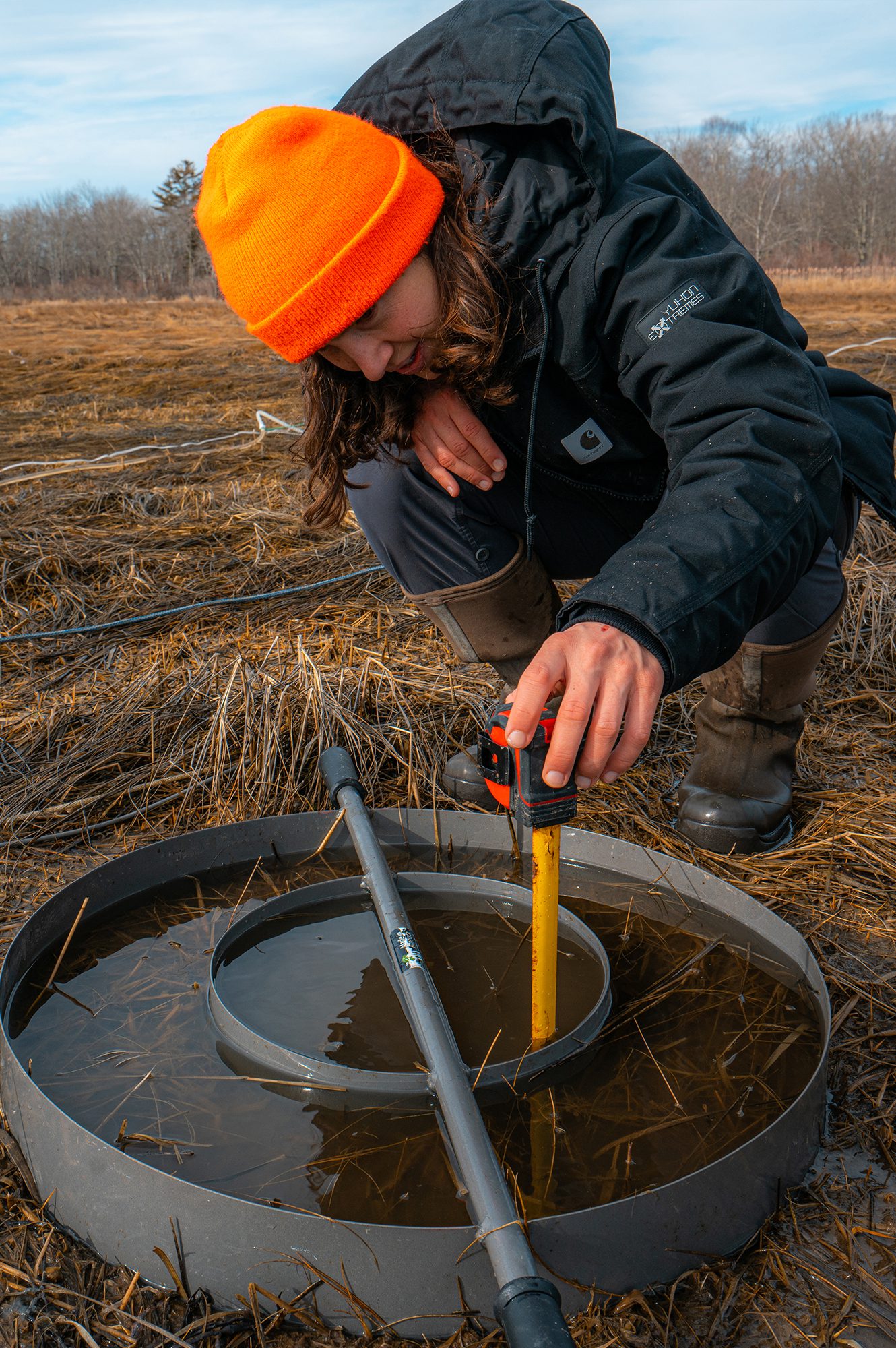
To investigate how water and carbon move through the marsh and exchange with the ocean during the winter, Guimond and her team sample groundwater from 10 locations across the Wells Reserve, spanning areas with high water saturation near the tidal creek as well as drier, inland regions. Additionally, monitoring wells placed throughout the marsh collect long-term measurements of salinity, temperature, and conductivity and will remain in the ground throughout the three-year project.
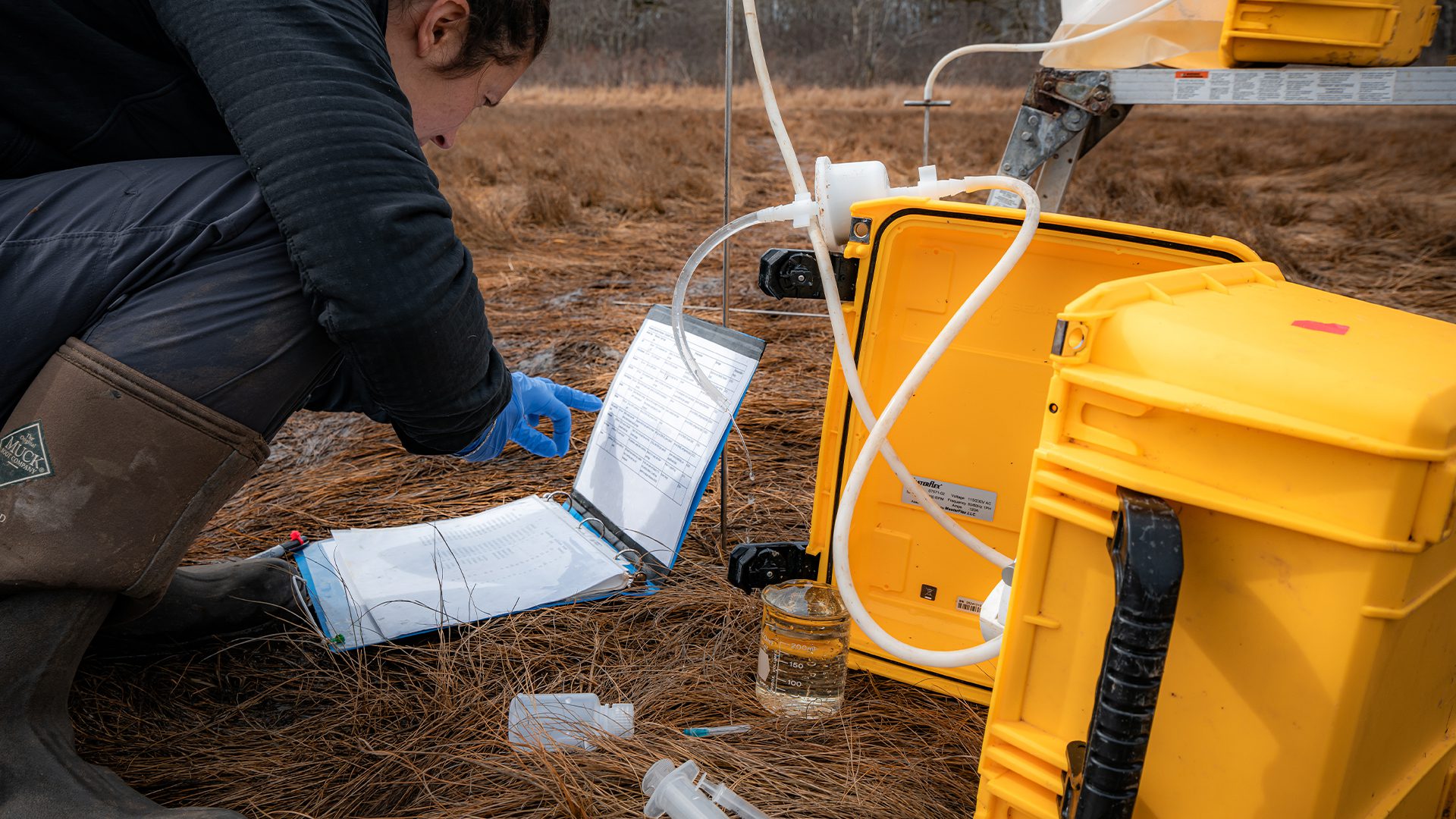
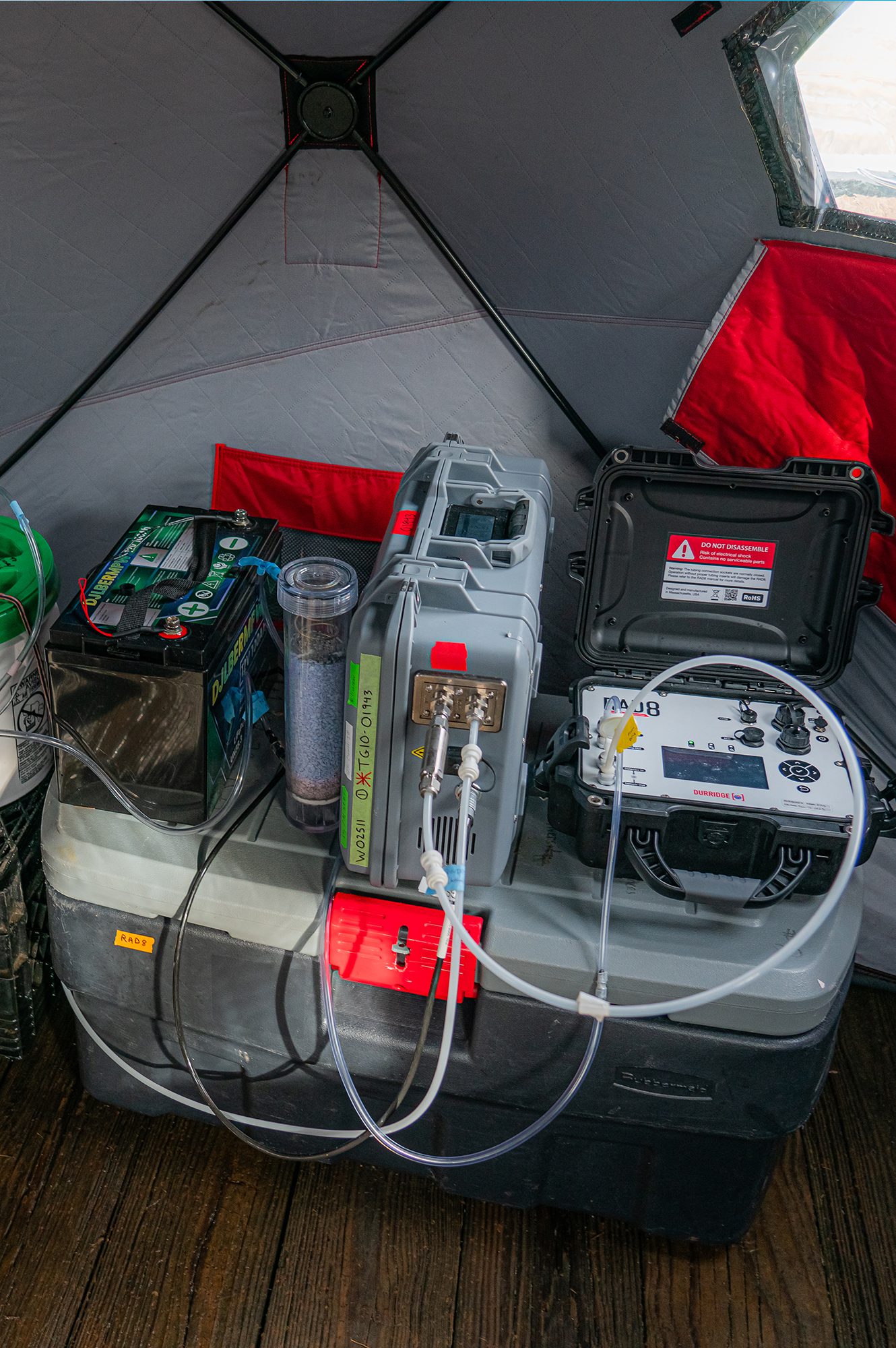
The groundwater flowing through salt marshes is often high in carbon and nutrients. This dissolved carbon makes it to the coastal ocean through exchanges with surface water and is an essential piece for understanding the entire relationship with carbon storage. The researchers look at salinity, temperature, dissolved oxygen, radon, and radium in their samples for insights into the water’s origin and flow paths, indicating how much groundwater leaves the marsh with every tidal cycle.
Relying on the radioactive: radon and radium
“Radon and radium are both naturally occurring and come ultimately from the underlying geology,” says Talia Cartafalsa, a Ph.D. student from Old Dominion University who is working with Joseph Tamborski on this project. The team measures the amount of these elements in both the groundwater and tidal creek to understand the water’s flow and path, and ultimately, how much dissolved carbon-laden groundwater leaves the marsh and exports to the coastal ocean.
By pairing the biogeochemical data with these radioactive elements across multiple locations, months, and years, Guimond and her team can see just how dynamic and vital wetlands remain, even in the quiet of winter.
“These are special ecosystems,” said Guimond as she paused her work for a moment as the sun peeked out from behind the clouds. “I think the ecosystems that exist in this unique land-sea interface are both beautiful and incredibly important to coastal communities, to the world, really.”
Guimond will also be collecting data from marshes in Gouldsboro, Maine, as well as Plum Island and Chatham, Massachusetts, as part of her project: “Understanding cold-season coastal wetland hydrology and freeze-thaw dynamics: impacts on lateral carbon fluxes.” This research is funded by the National Science Foundation.
