30 by 30: How do we get there?
Researchers contribute to a bold initiative to conserve 30% of the global ocean by 2030
 This article printed in Oceanus Summer 2024
Estimated reading time: 12 minutes
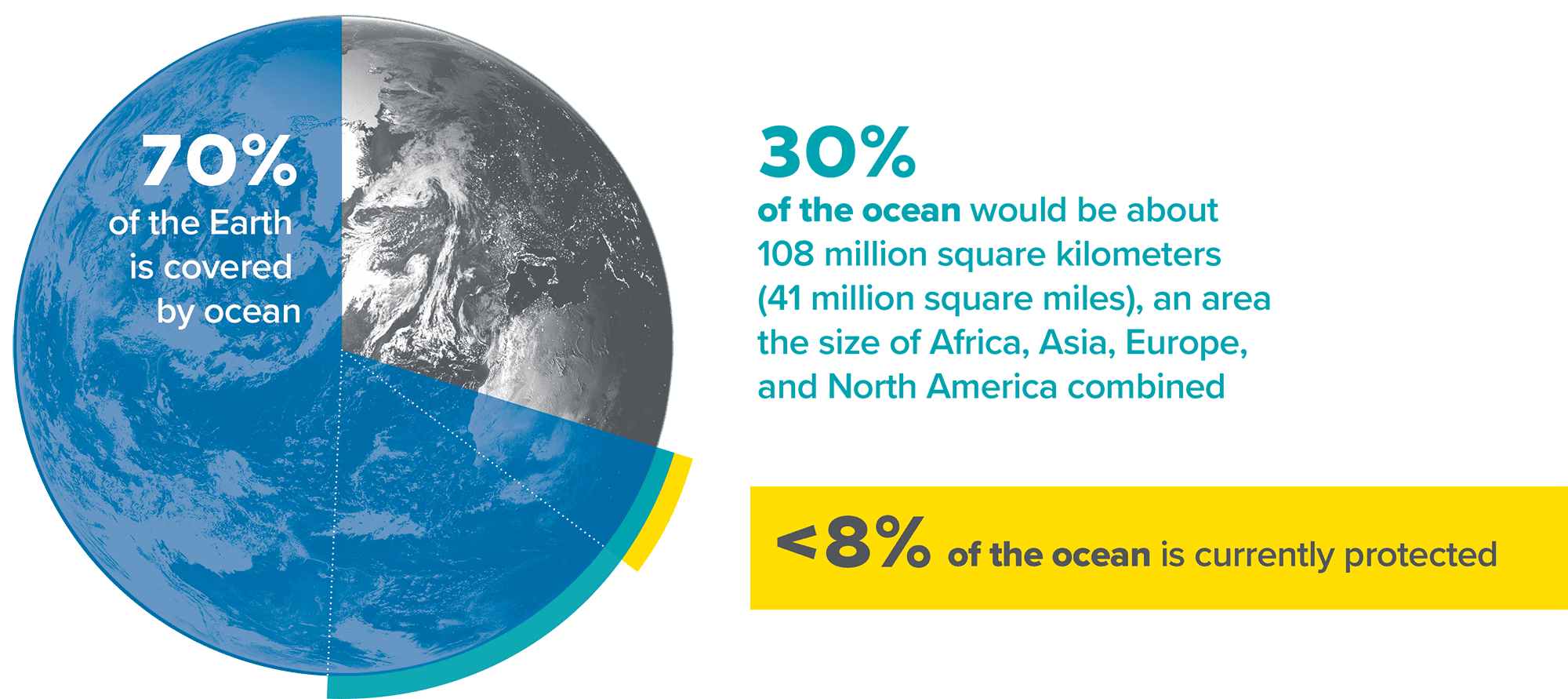
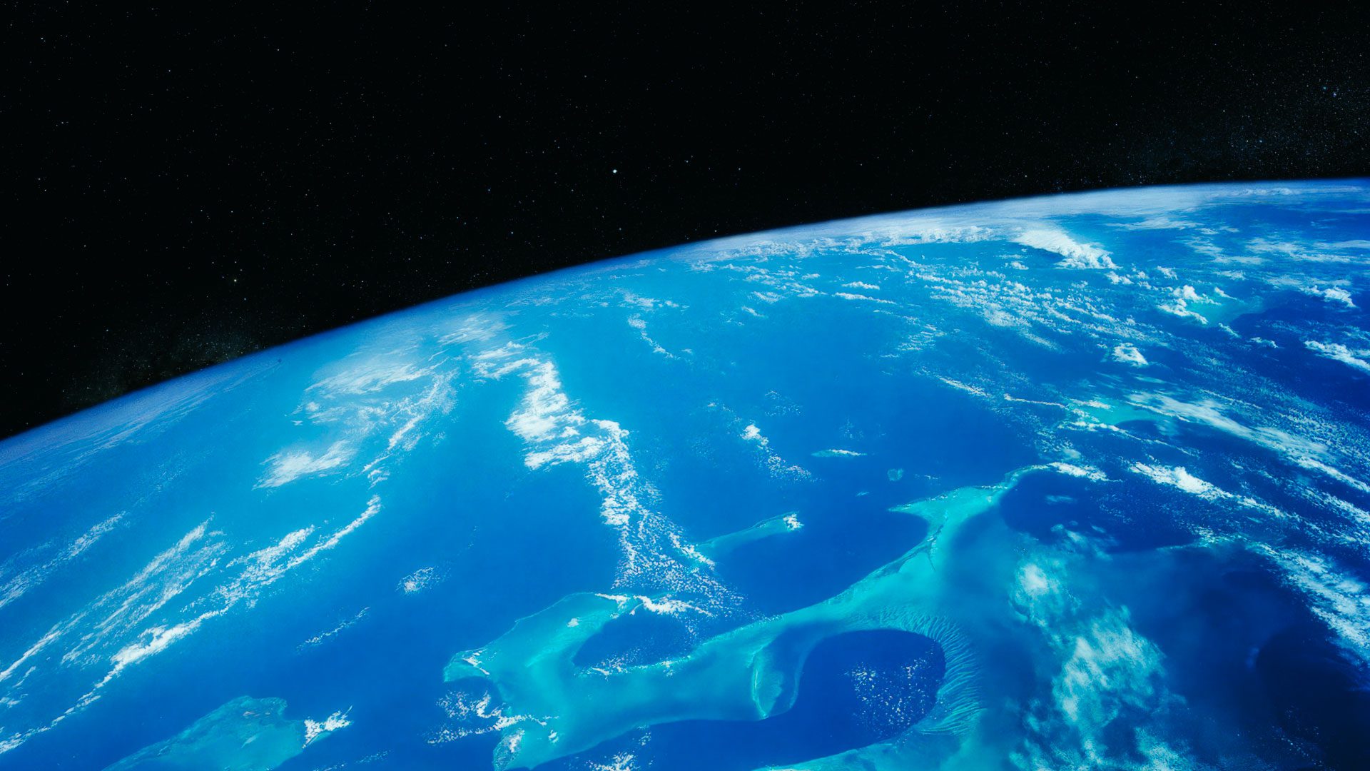
With Earth’s five ocean basins covering 70% of the planet’s surface, it is daunting to think about how to protect it all. In late 2022, after years of discussion, scientists and governments, in collaboration with the United Nations, announced a campaign enormous in scope and significance: to conserve 30% of this area by the year 2030.
This ambitious goal, established to safeguard against biodiversity loss and provide healthy food stocks for millions of humans, pushes for stronger monitoring mechanisms and legal protections. All told, 30% of the global ocean represents 108 million square kilometers (41 million square miles), an area the size of Africa, Asia, Europe, and North America combined. This size is comparable to that of the entire Pacific Ocean, which has a surface area of more than 155 million square kilometers (60 million square miles).
According to the International Union for Conservation of Nature, 8% of the global ocean is currently safeguarded in marine protected areas, primarily to preserve and sustain biodiversity using various restrictions on activities like farming, fishing, mining, and recreation. While there are multiple causes of biodiversity loss, including air and water pollution, mining, oil and gas prospecting, overfishing, and impacts by predative invasive species, human impacts are behind each one.
“What makes conserving 30% by 2030 unique is the number of nations involved—nearly 200 have signed off—so it involves people beyond their national jurisdictions,” said Dr. Kilaparti Ramakrishna, director of the Marine Policy Center at WHOI. This push for conservation is long overdue. “Despite our recognition of one global ocean, we as nations have approached ocean conservation in a siloed manner,” Ramakrishna said. “We need to think about ocean governance in a holistic manner.”
Under the “30 by 30” initiative, we have six years until 2030 to conserve 30% of the ocean. What will it take to get there?
Know what to protect
To reach 30 by 30, we first need to know what areas to protect. Kristina Gjerde, the high-seas policy advisor for the International Union for Conservation of Nature Global Marine and Polar Program, has spent her career pushing for stronger marine protections. In 2023, she saw a leap forward with the development of the High Seas Treaty, which provides a legal framework for establishing marine protected areas in international waters.
Gjerde calls herself “a long-time advocate for a global system of ecologically connected, well-managed, and representative marine protected areas.” This protective system, she said, should span the global ocean, from coastal tidepools to the high seas and down to the deepest seabed, beyond national boundaries.
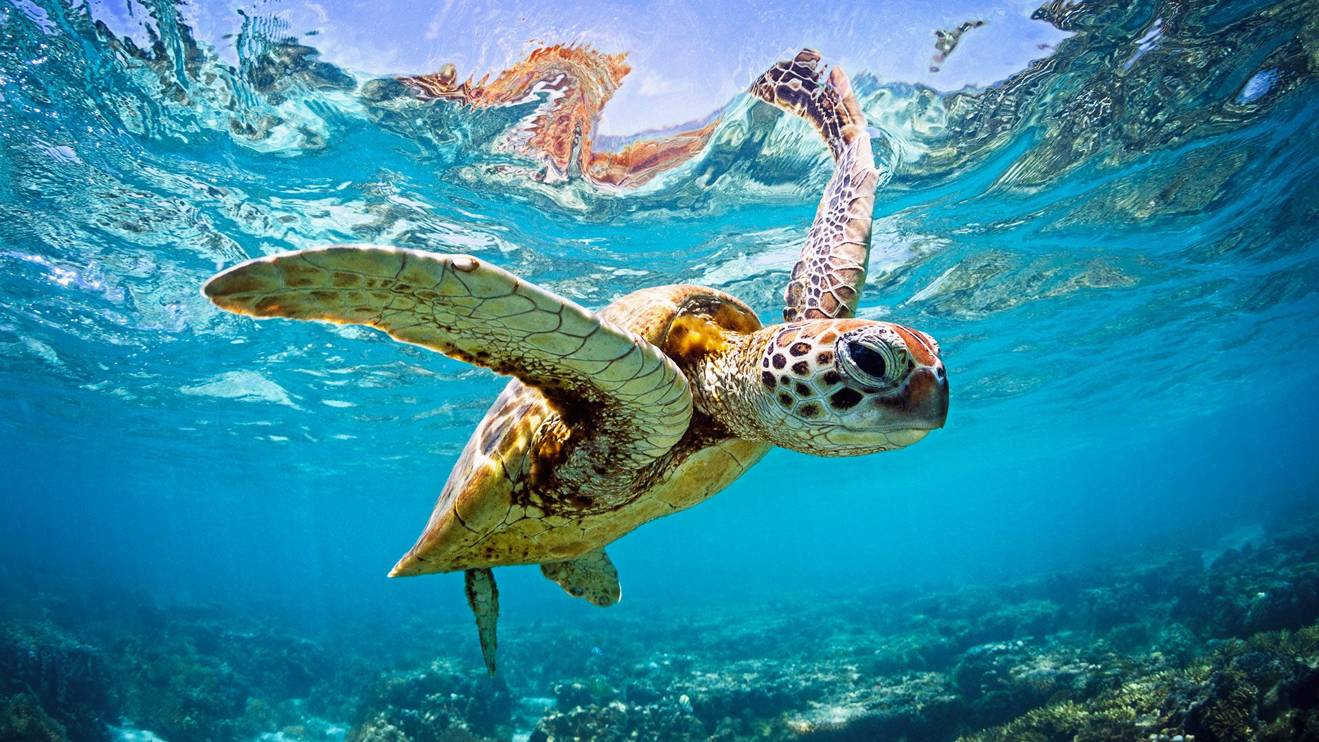
“This necklace of marine protected areas should include areas that are rare or fragile, under threat, as well as those that are still relatively pristine,” she said. “It should include habitats that are important for giant blue whales, sharks, sea turtles, or other large animals as well as the krill and additional tiny critters that fuel the ecosystems.” Further, she said that “we should be able to adopt dynamic measures that protect marine species as they swim, float, or fly, even outside of traditional protected area boundaries.”
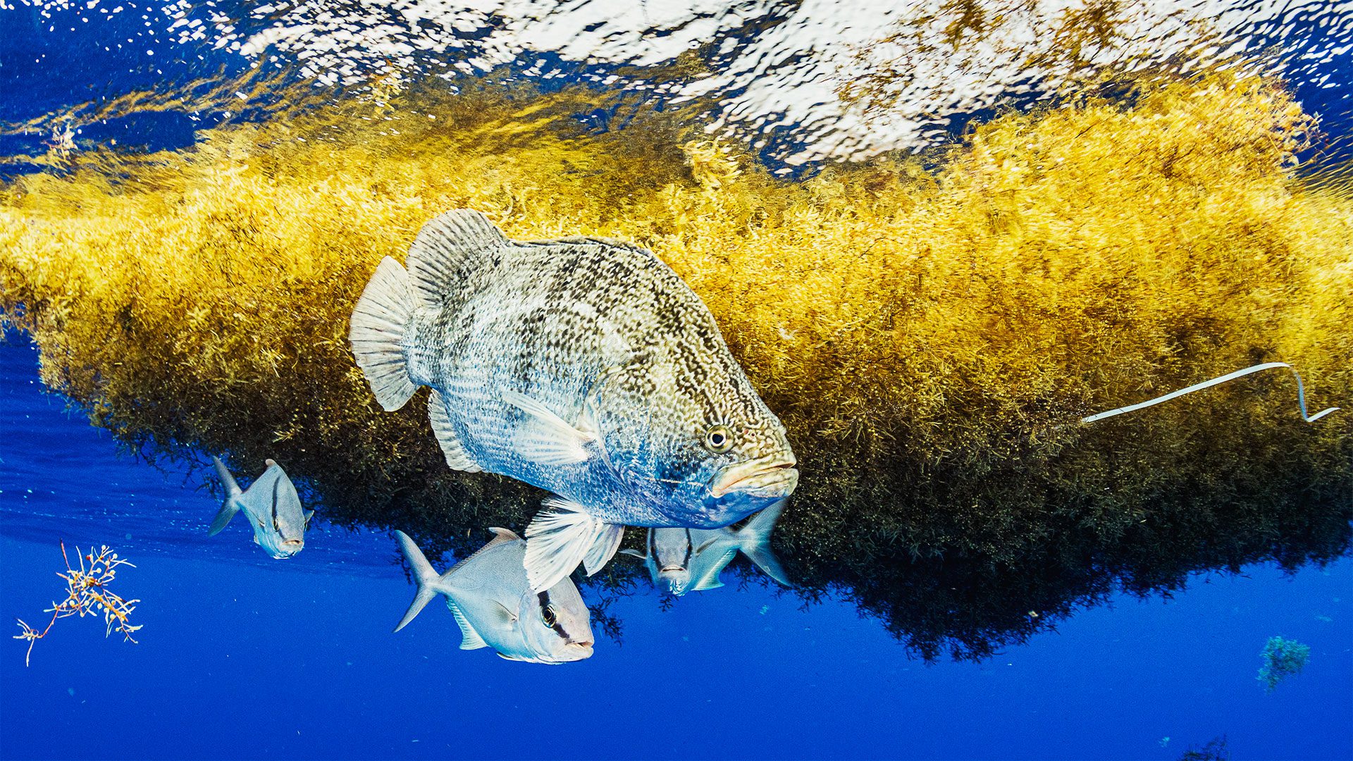
In terms of named places on the high seas, she said areas to begin focusing on “are those that we know more about, such as the ‘golden floating rainforest’ of the Sargasso Sea and the hydrothermal towers of the Lost City in the Atlantic, the highly productive Costa Rica Thermal Dome, the White Shark Café in the Pacific, and Atlantis Bank in the Indian Ocean.”
We also need to rapidly heighten ambitions beyond individual sites to incorporate ecological connectivity into a network of marine protected areas. “We should be investing in the science needed to better integrate the impacts of climate change into design and management of marine protected areas into the future,” she said.
WHOI biologist Heidi Sosik said that when tough choices need to be made about which parts of the ocean to protect, there are many complex variables that need to be understood.
“It is important to know things like where and when diversity and productivity hotspots occur, how biological populations are interconnected, and where source populations are located,” she said. “And we need to understand how ocean food webs are structured and intertwined across time, space, and trophic levels, and where the ocean’s biological pump is especially active in sequestering carbon to the deep ocean.”
More ocean data, Sosik said, is critical to knowing what areas of the ocean to protect. Ocean models, which predict how ocean systems might respond under certain circumstances, can help, but “unless we’re out there observing and watching the change and understanding what’s happening, we won’t know how ecosystems are responding to things like climate change,” Sosik said. “And if we don’t understand that, it’s hard to make decisions on what areas need protection.”
Accelerate our understanding of the ocean
Sosik serves as the lead investigator of the Northeast U.S. Shelf Long Term Ecological Research Network (LTER). This ongoing data collection effort integrates observations, experiments, and models to predict future health and vitality offshore of the eastern U.S. The sheer size of the effort and the need to quickly collect data and make fast, accurate conservation decisions demand artificial intelligence as a critical partner in data processing.
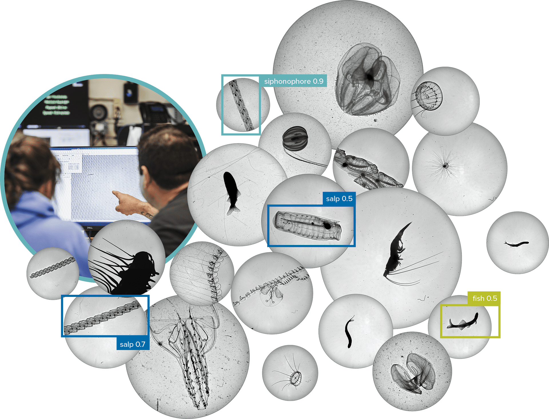
“It’s exciting to use new technologies like high-speed imaging and acoustics to gather new information about the ocean,” Sosik said. “And then we say, oh my gosh, what are we going to do with this data? We have terabytes and terabytes. Humans can look at small amounts of data at a time to make sense of them, so getting the most we can out of all that vast quantity requires machine learning and other kinds of artificial intelligence.”
For example, through her work with the Ocean Twilight Zone Project, Sosik has demonstrated the value of artificial intelligence in processing huge numbers of images. This provides a window into all sorts of large-scale phenomena in the ocean, such as how plankton vary over large distances and depths or how the behavior of individual plankton species may differ. Plankton form the base of the marine food web and play a part in transporting carbon from the sea surface to deeper water, ultimately helping to regulate the global climate.
Given the pressing timeline demanded by the 30 by 30 initiative, artificial intelligence is a way to combine the efforts of multiple scientists at a more rapid rate, expanding human understanding of this unique and critically important subsurface region. “Ultimately, that understanding is going to help humans make better decisions about how to protect those organisms, and how to be better stewards of the natural world,” Sosik said.
More ocean data, Sosik said, is critical to knowing what areas of the ocean to protect. Ocean models, which predict how ocean systems might respond under certain circumstances, can help, but “unless we’re out there observing and watching the change and understanding what’s happening, we won’t know how ecosystems are responding to things like climate change,” Sosik said. “And if we don’t understand that, it’s hard to make decisions on what areas need protection.”
Scale up ocean observations
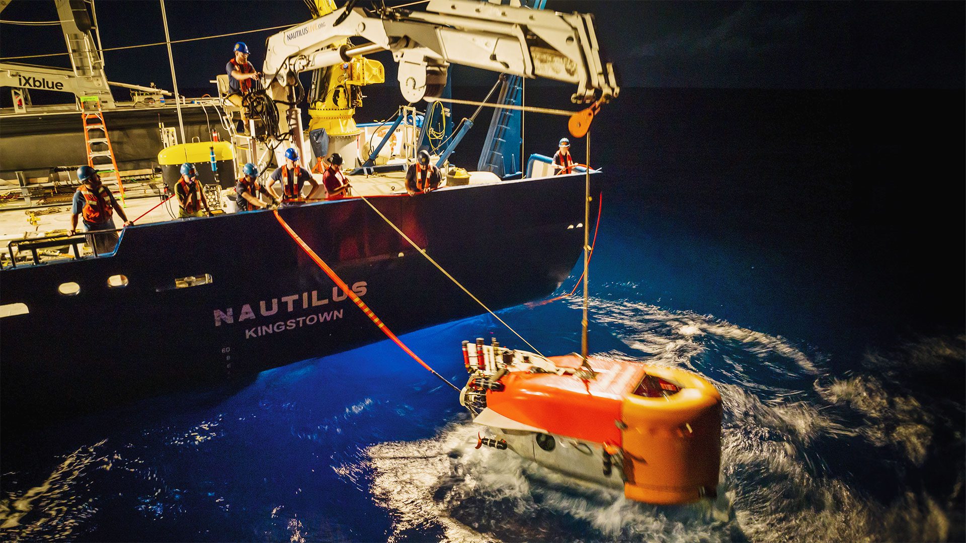
Observing the deepest parts of the ocean, meanwhile, will require a unique set of technologies. As head of the National Deep Submergence Facility, Dr. Anna Michel supports scientists who use one of three vehicles operated by the facility to reach depths up to 6,500 meters (about four miles). Inky black, freezing cold, and with crushing pressure, these depths are among the most difficult and expensive areas to access (for example, using the human-occupied submersible Alvin on the research vessel Atlantis currently runs $95,000 per day). Yet these areas represent huge swaths of the ocean landscape.
“So much has never been mapped or explored,” Michel said. “Identifying priorities through vehicle exploration, mapping, and by physically going to these places is going to be key.”
This is what the Ocean Exploration Cooperative Institute aims to do. The initiative, funded by the National Oceanic and Atmospheric Administration, intends to map and characterize more than 11 million square kilometers, or 4.4 million square miles, of ocean under U.S. national jurisdiction (an area that is larger than the entire land mass of the U.S., at nearly 10 million square kilometers, or 3.8 million square miles).
“Identifying priorities through vehicle exploration, mapping, and by physically going to these places is going to be key.”
—Dr. Anna Michel, Chief scientist of the National Deep Submergence Facility
This is a necessary first step for informed decision-making about which areas of the ocean to protect while also tapping the marine resources needed for sustainable use and economic growth, which form the basis of the “blue economy.” A key approach to achieving this goal is the development of new ocean technology to access previously unreachable shallows and depths and the integration of additional autonomous surface, aerial, and undersea vehicles into underwater exploration.
Finding ways to decrease dependence on costly research vessels will also become more of a priority. In May 2022, on a seamount off the coast of Oahu, Hawaii, WHOI scientists and colleagues demonstrated one way it could be done. Using a trio of ocean robots that communicated and collaboratively completed data-gathering tasks, they investigated a freshwater plume gushing from the seafloor. The goal of the mission, aimed at addressing questions about the seamount and plume, such as how they affect water density and animal behavior, represented “a whole new paradigm for ocean robots and at-sea operations,” said WHOI roboticist Robin Littlefield.
Ultimately, it relieved scientists and the ship of their robotic “babysitting” duties so that the vehicles could explore more of the area in less time. “Autonomy is important, as it takes pressure off human operators,” Littlefield said. “If robots can be communicating and working together, people will no longer have to commit all of their time to overseeing missions and can be freed up to add value in other ways.”
Prioritize the science
Why throw so much technology, funding, and time at these endeavors? Because oceanographers estimate that 90% of marine species are still unclassified and vast numbers of organisms remain unknown. Similarly, about 80% of the ocean floor is still unmapped. Among those working to identify some of the oceans’ smallest organisms in unknown areas of the deep sea is Dr. Julie Huber, a microbial oceanographer at WHOI.
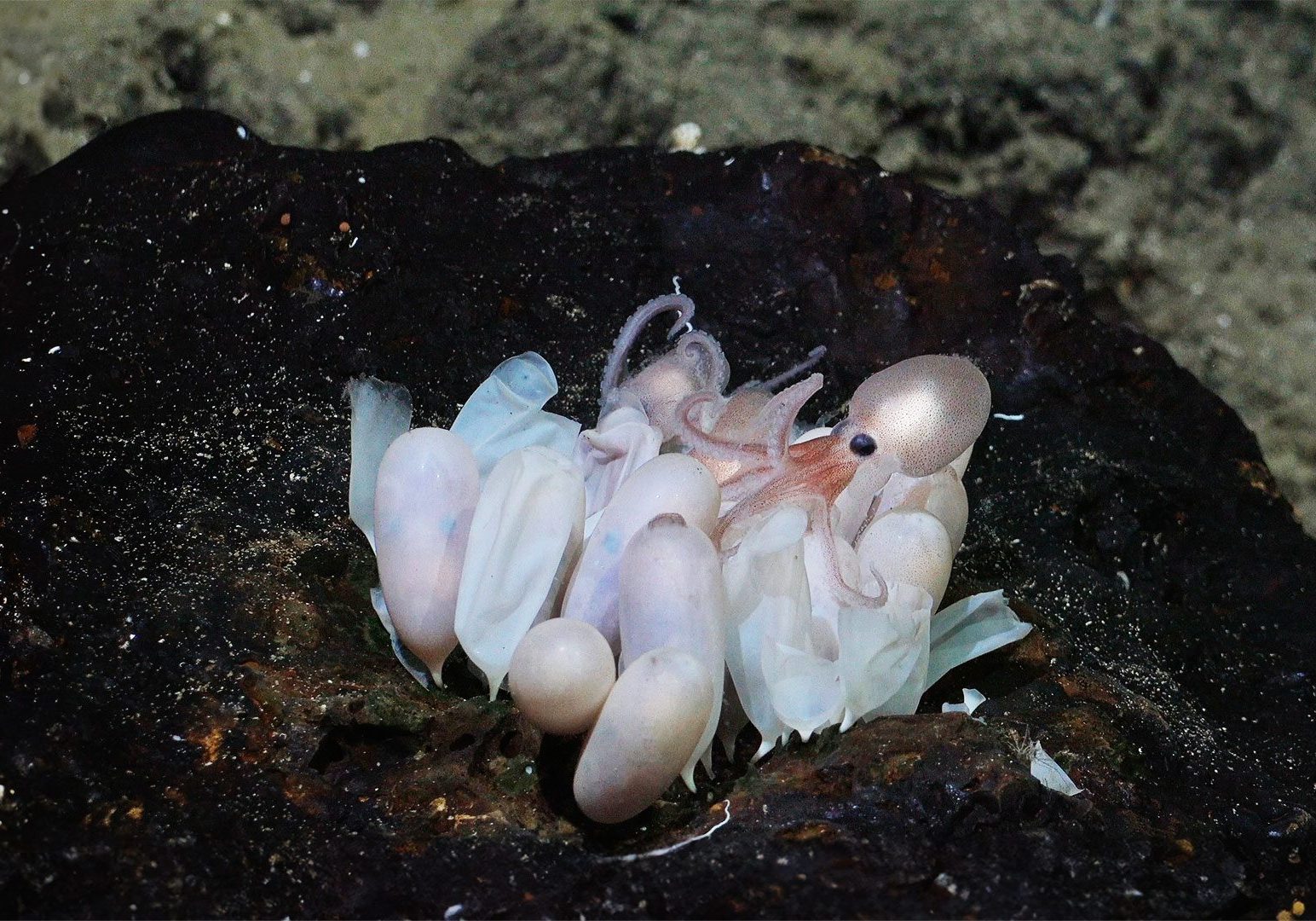
In late 2023, Huber’s research took her to an octopus nursery located 200 miles (321 kilometers) off the western coast of Costa Rica at 3,000 meters (nearly 10,000 feet) of depth, where the research team identified not just one but four previously undocumented deep-sea octopus species. They were living on underwater seamounts in cool hydrothermal springs that were first discovered in 2010.
The discoveries “highlight how little we know about the biological diversity of the deep ocean, which really hits on the idea of conservation and the 30 by 30 initiative,” Huber said. As she took water samples for microbial analysis and watched as nearby fishermen set their longlines for mahi-mahi and other fish, she was struck that this life-rich area of the sea was not (yet) marine-protected.
“Here we are at the bottom of the ocean, finding these amazing animals. Meanwhile, people around us are trying to make a living and support the population through fishing,” she said. “Both activities are important. I think 30 by 30 is about addressing that delicate balance.”
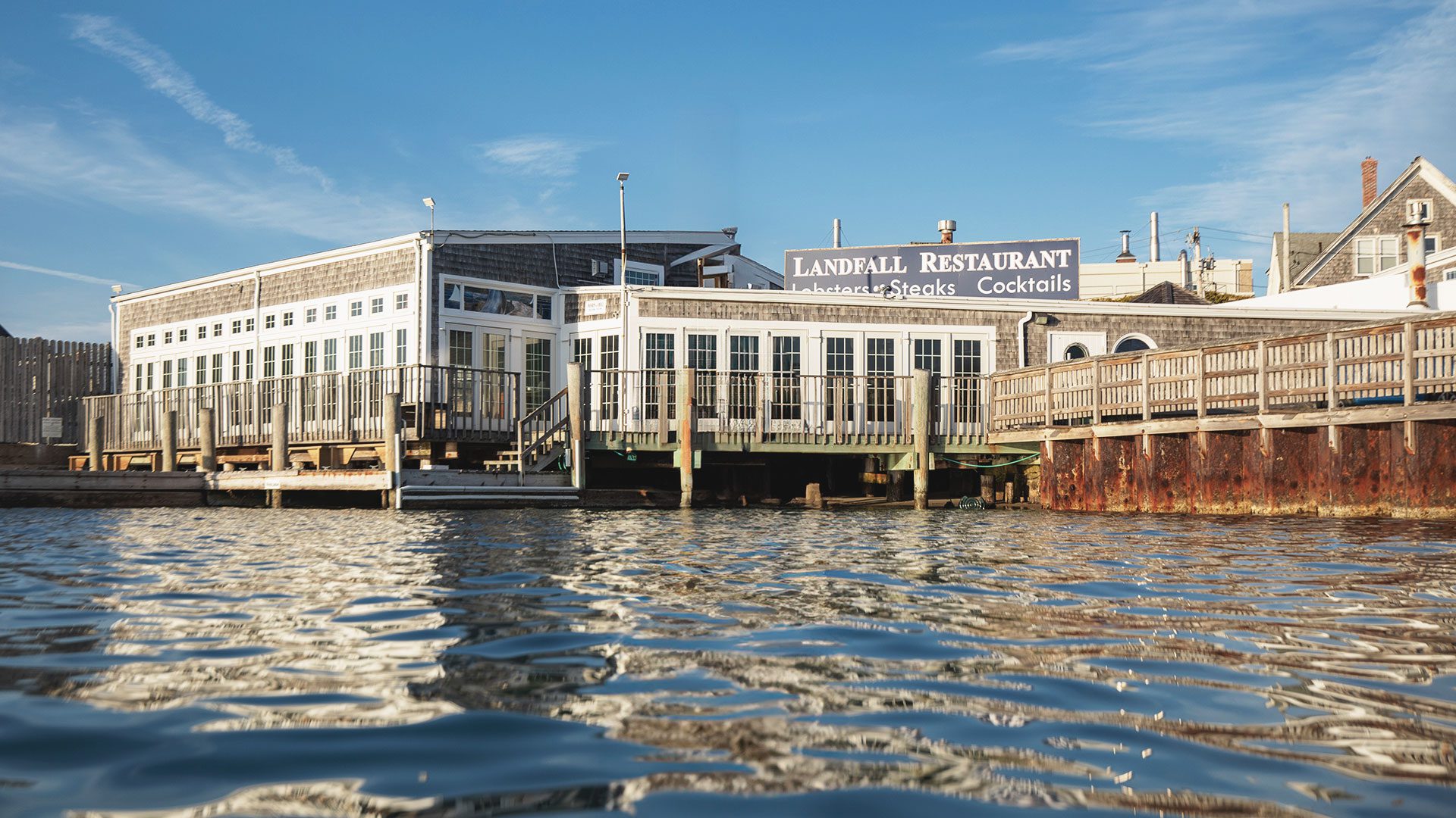
Holding countries accountable for implementation of marine protected areas will also be key, said Beth Pike from the Marine Conservation Institute in southern Massachusetts. Her job as director of the Marine Protection Atlas is to make sure that progress towards conserving 30% of the ocean includes science-based assessments.
“By and large, designation is easy to do because it has to be put on paper, then signed off by an authority, and that declaration receives a lot of initial fanfare,” Pike said, “whereas implementation is often a sluggish process.”
It’s not unlike someone declaring that they are going to run a marathon. “Now, they have to train and do the preparation to be ready,” Pike said. “A lot of work to meet the goal needs to be done out of the spotlight. The same thing is true for nations working for marine protections.”
Drive informed decision-making
Scientists like WHOI biologist Dr. Tim Shank express delight and pride when their research informs marine policies. Working in ocean waters globally, Shank combines molecular-genetic approaches and ecological field studies to understand the conditions and adaptations that allow various species to migrate, evolve, and thrive in deep-sea habitats.
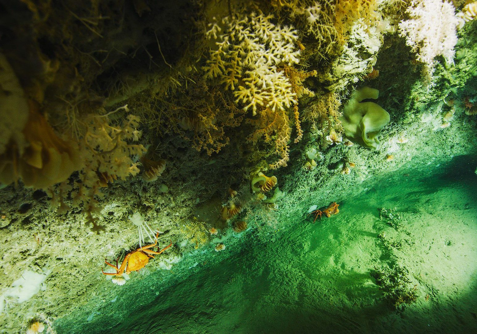
Of particular interest is the biodiversity of coral ecosystems in deep-water canyons extending from the Carolinas to the Canadian border. Shank’s goal is to determine the extent of vulnerable marine ecosystems and how they will respond to a rapid increase in environmental change in the Atlantic region. Over two years, beginning in 2011, Shank and his colleagues used a ship-tethered digital camera system to examine patterns of animal life and compare habitat types within and among the life-rich canyons. They conducted 38 surveys, collecting more than 130,000 images.
“We are always happy when our data can be used to make informed decisions.”
—WHOI biologist Dr. Tim Shank
In 2016, after Shank and colleagues provided this data to the Mid-Atlantic Fisheries Management Council (MAFMC) and met with members of the fishing industry and other stakeholders, they helped the MAFMC designate the Frank R. Lautenberg Deep Sea Coral Protection Area. Encompassing more than 106,000 square kilometers (41,000 square miles), it is one of the largest of its kind in North America, and its fisheries are among the most economically productive parts of U.S. waters.
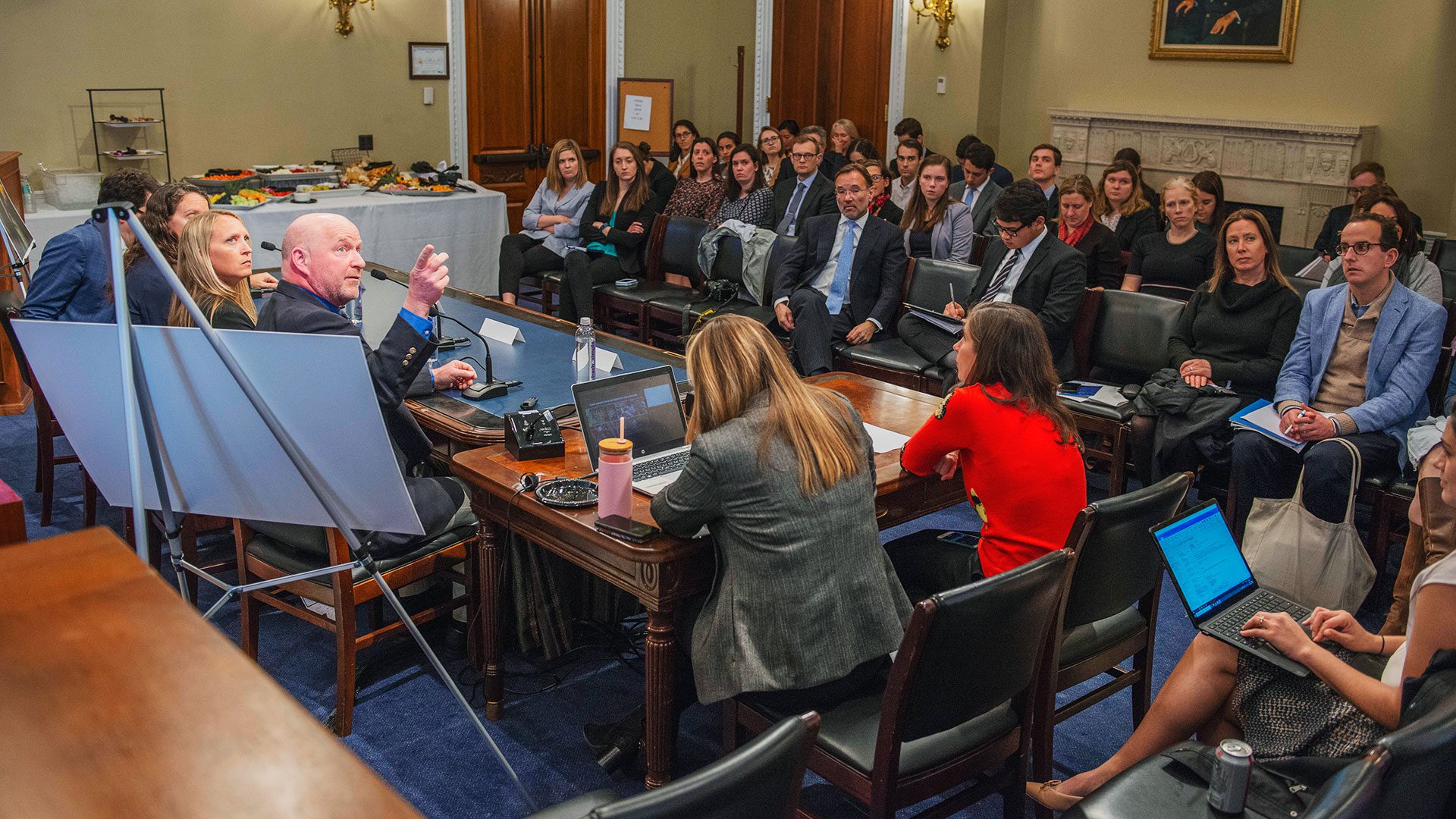
Shank went on to brief Congress multiple times in 2021 and 2022 regarding the importance of diverse coral ecosystems in U.S. waters. “The work is helping to inform future decision-making about activities that could affect these canyons and the species and resources they contain,” he said. “We are always happy when our data can be used to make informed decisions.”

