
By Andrée L. Ramsey
The Distributed Sensor Network (DSN) is a collection of instrumentation designed to capture the dynamics of the ocean’s bottom boundary layer, over a large spatial and temporal resolution. The DSN consists of three components, 1) conventional moorings populated with MAVS current meters, RBR temperature sensors, and a McLane Moored Profiler (MMP) that provide high vertical resolution of internal wave and outer turbulent boundary layers, 2) a Bottom Lander Tripod equipped with eight MAVS current meters paired with an RBR temperature sensor which provide high vertical resolution of the turbulent boundary layer, and 3) multiple tilt current meter (TCM) long-line moorings to resolve the spatial gradients associated with the largest scale bottom boundary layer processes due to complex topography.
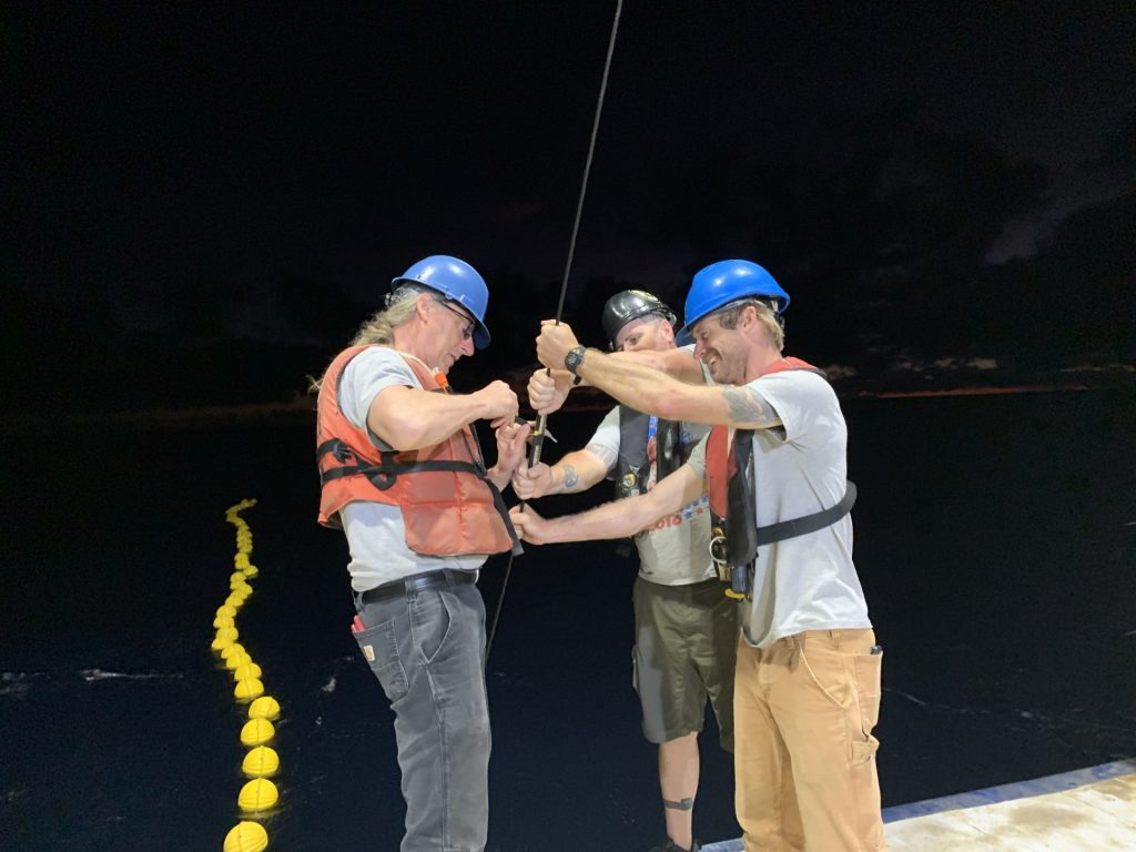
Deploying the MAVS mooring (left to right Kurt Polzin, Brian Hougue, Mason Schettig). Photo by Andrée L Ramsey
In May 2026, a DSN was deployed in the Brazil Basin targeting an abyssal mountain spanning 21.8 to 21.95 south at 18.45 east. This was the inaugural deployment for the Bottom Lander Tripod. In addition, one mooring was deployed on the steep side of the ridge, one mooring was deployed along the top of the ridge next to the Bottom Lander Tripod, and five TCM long-line moorings, eight kilometers in length, were draped over the abyssal mountain, each having one 500m vertical extension at one end, populated with nine TCMs.
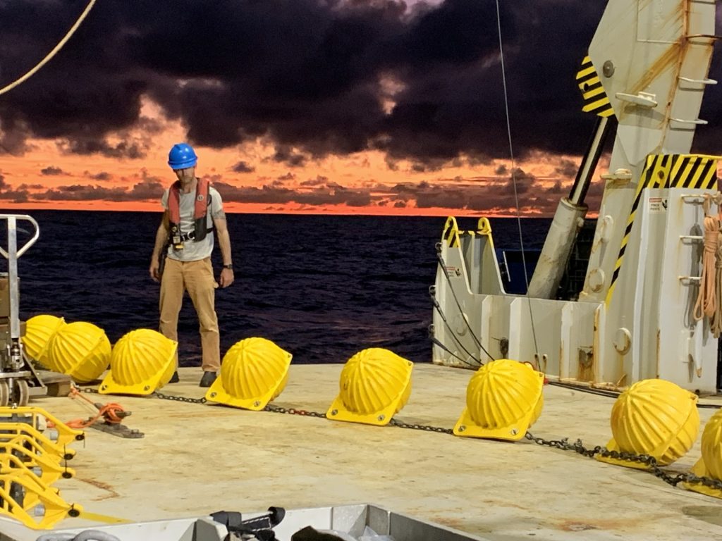
Mason Schettig with one of the many amazing sunsets. Photo by Andrée L Ramsey
Cruise participants included Kurt Polzin, Joe Kuehl (University of Delaware), Vitalii Sheremet, Brian Hogue, Andrée Ramsey, and Asim Feroz (University of Delaware), and took place aboard the R/V Roger Revelle. The cruise departed Cape Verde May 9, 2026, and arrived Balboa, Panama June 10, 2026. On the way to Balboa, we spent nine hours transiting through the Panama Canal, which covers a 50-miles route.
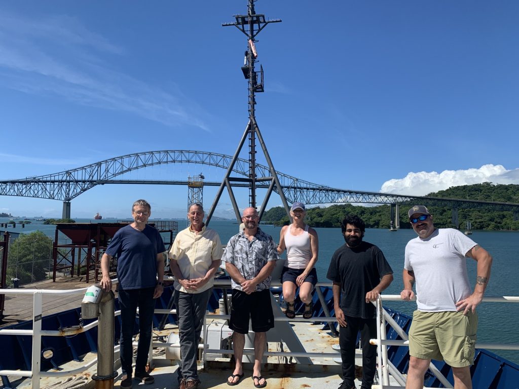
Photo by Andrée L Ramsey
This work is part of Kurt Polzin’s ‘Internal Wave Spectrum and Boundary Mixing in the Sub-Tropic South Atlantic’ project, funded by the National Ocean Partnership Program. The recovery cruise will be December 2026 aboard the R/V Marcus G. Langseth. It will be very exciting to see what processes the data returns.
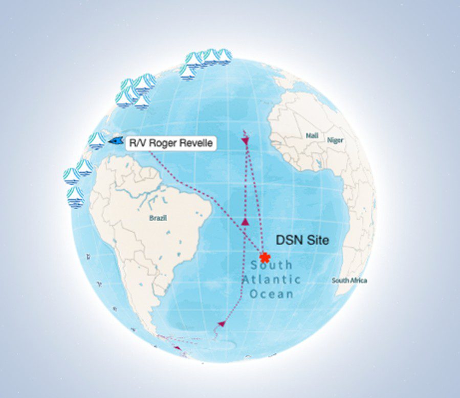
Map of ship’s track and the DSN site. Image courtesy of Andrée L. Ramsey
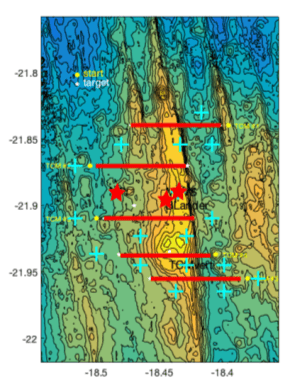
Bathymetric map of DSN site. Red lines represent TCMs, red stars represent the moorings and Bottom Lander Tripod. Image courtesy of Andrée L. Ramsey