Exploring Atlantic seeps
AUV Sentry leads the way in mapping and monitoring methane bubbling from the seafloor
 This article printed in Oceanus Summer 2026
Estimated reading time: 3 minutes
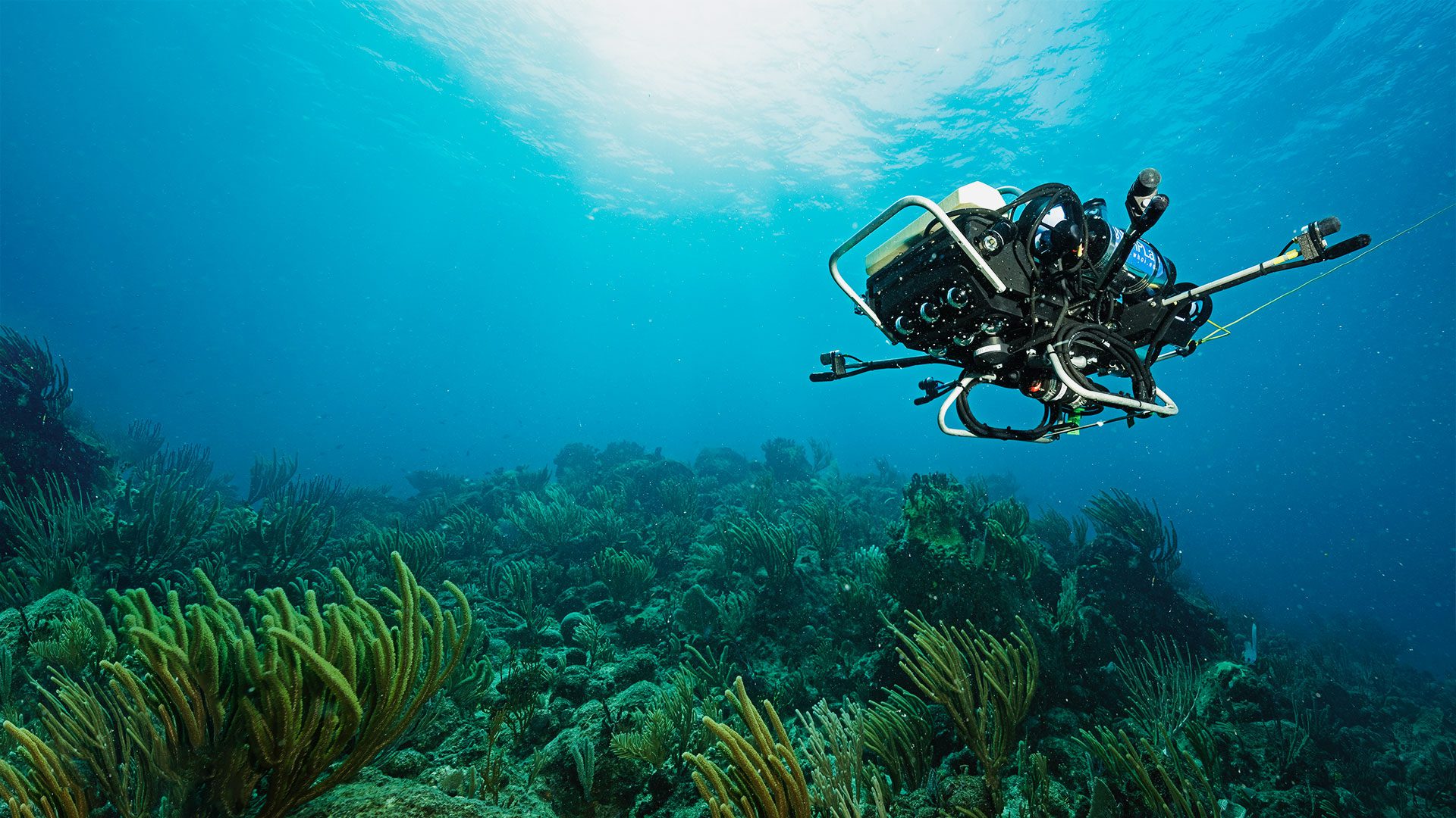
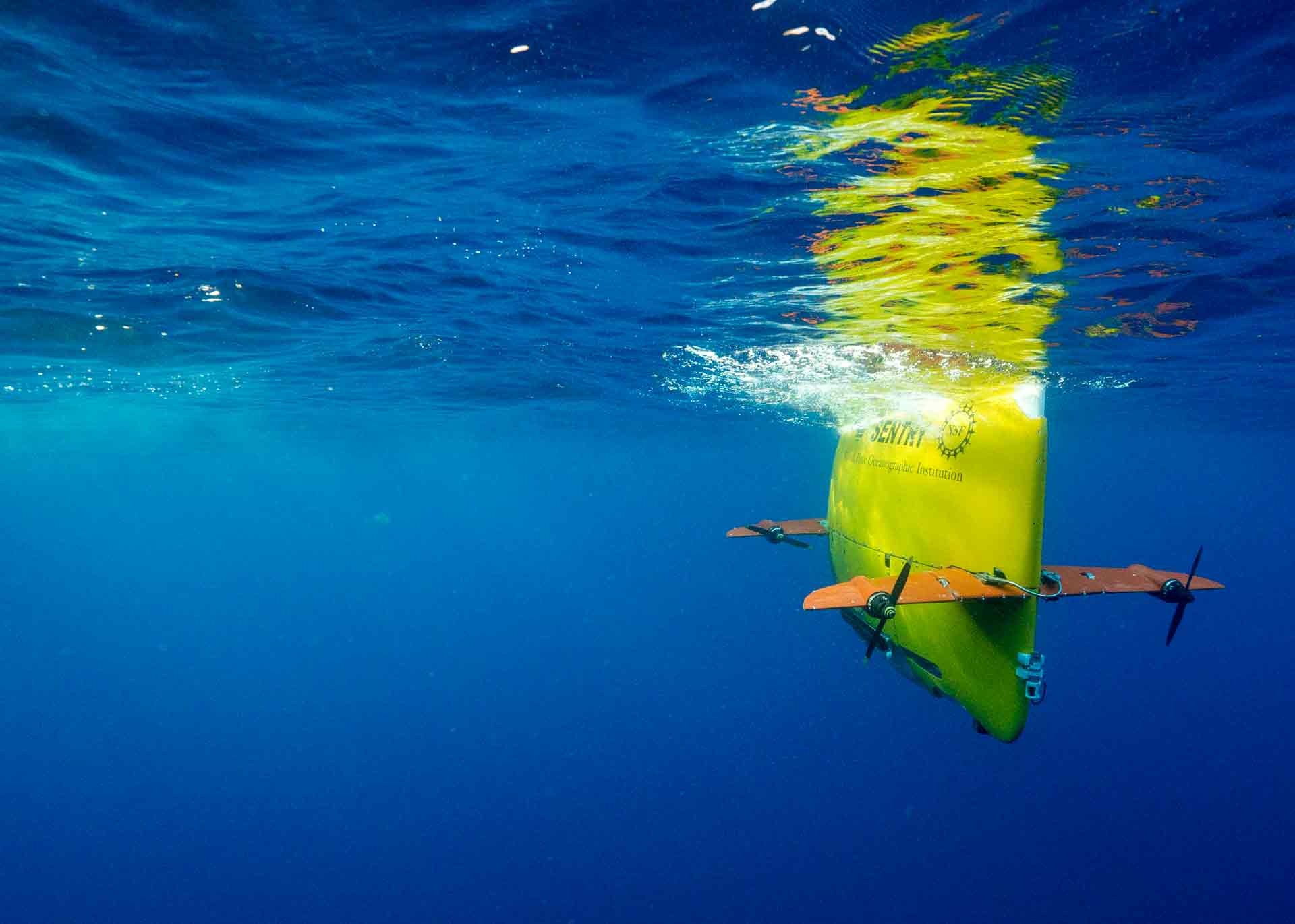
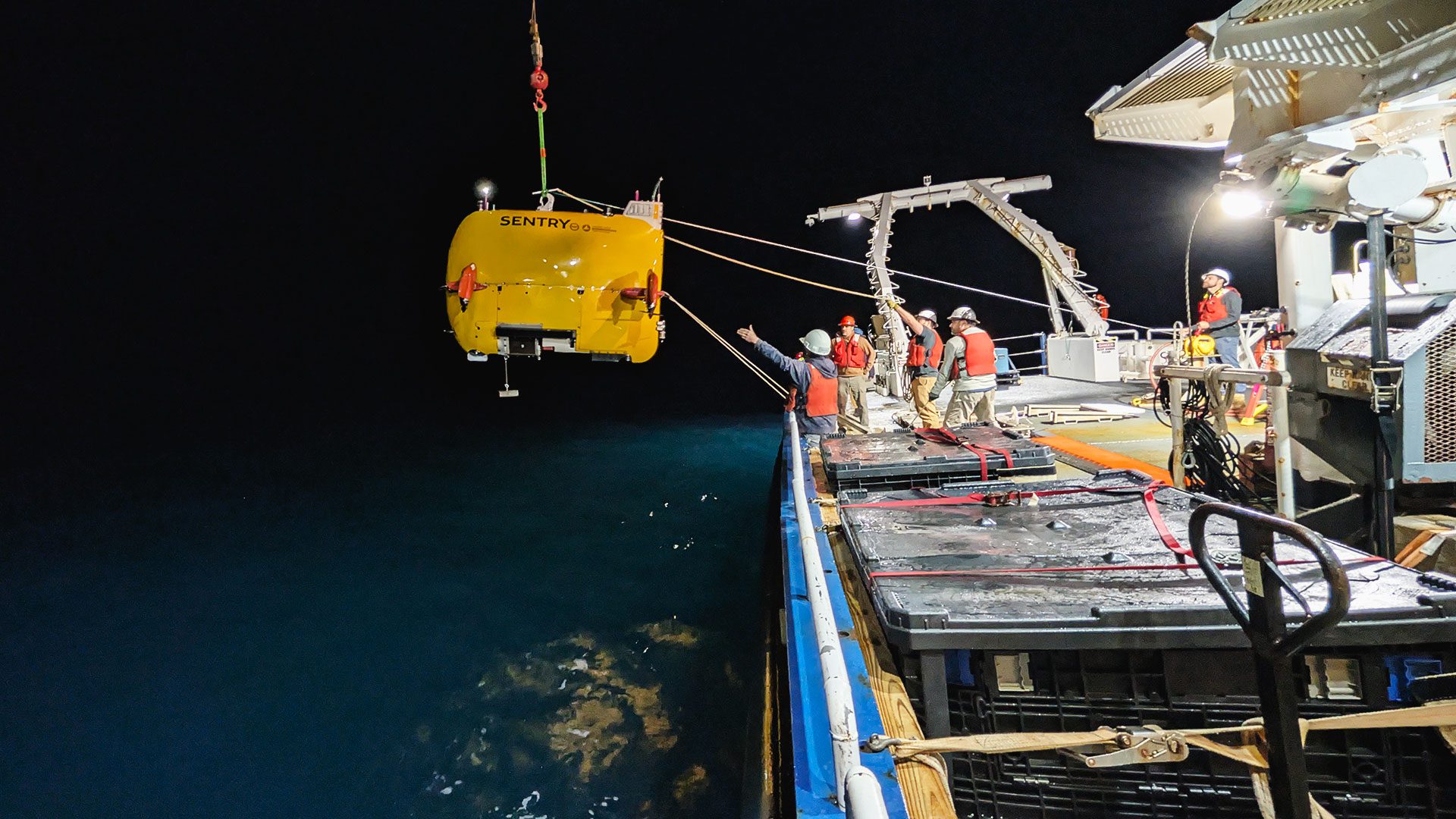
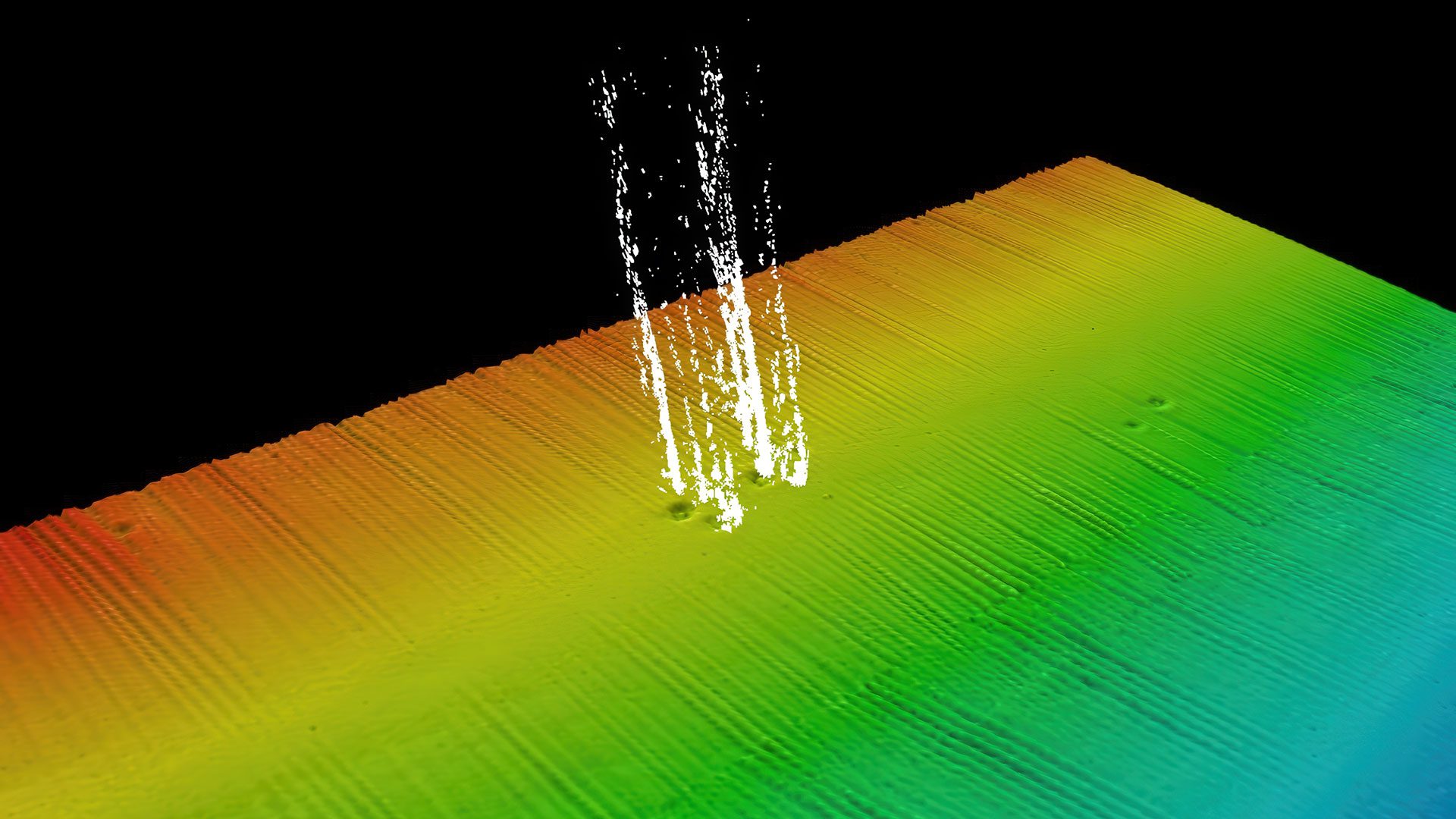
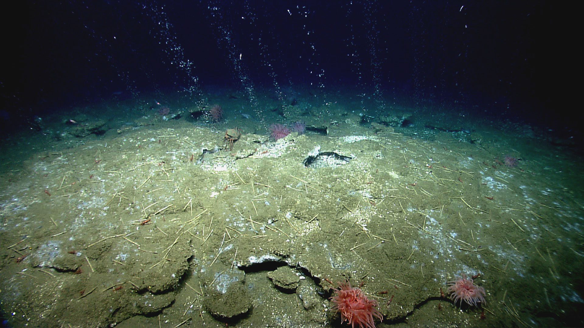
The deep-sea robot Sentry is the size of a 3,000-pound car, but nimble enough to spot tiny bubbles rising from the ocean floor. Early last summer, Sentry patrolled in tight survey grids off the Mid-Atlantic coast, detecting cloudy plumes where methane gas escaped from natural seafloor vents called seeps.
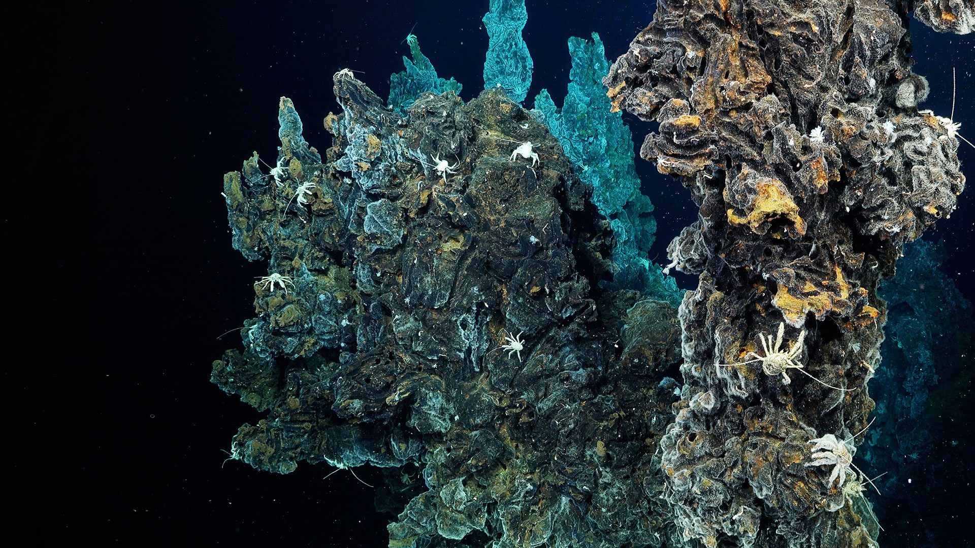
The mission is part of a broader effort by a multi-institutional team of U.S. scientists to better understand the Atlantic Margin and the nation’s Exclusive Economic Zone, areas the federal government has shown increasing interest in surveying and monitoring. Pinpointing seeps gives researchers a rare look at deep-sea environments where biology, chemistry, and geology converge. The work has broad value: it can inform potential commercial fishing and energy planning, shed light on microbes that metabolize methane for potential biotech uses, and identify places where gas may weaken sediments and destabilize the seafloor.
Sentry’s findings will also guide two upcoming expeditions. Next year, scientists will return to the Atlantic seeps with the human-occupied vehicle Alvin to observe the features directly, capture photos and video, and collect sediment and water samples. The team’s third expedition will follow with a heavy-duty shipboard corer to recover long, intact sediment layers up to 90 feet (27 meters) to analyze methane content, sediment structure, and patterns of past seep activity.
Biogeochemist Sunita Shah Walter, a former WHOI postdoctoral researcher now at the University of Delaware, will study these seeps along the Atlantic Margin, where the continental shelf plunges toward the deep ocean. Her team reads chemical clues left behind by microbes that consume methane, a process known as methane oxidation, to identify both stable methane hydrates and active seep zones.
“Mapping where methane hydrates are stable versus destabilized helps us understand seafloor conditions, geological processes, and long-term changes in the ocean and Earth’s atmosphere,” Walter said.
The work is still new territory: seeps were first identified in this region only about a decade ago. “The fact that we have methane seepage here is unusual, unexplained, and makes it worth studying,” she said.
Pinpointing seeps gives researchers a rare look at deep-sea environments where biology, chemistry, and geology converge.
The success of Sentry in mapping the seeps points to the importance of versatile vehicles in the fleet available to scientists, said Anna Michel, chief scientist of the National Deep Submergence Facility at WHOI. She points to the work of WHOI engineer Sean Kelley, who is leading efforts to make Sentry even more capable and autonomous. Over the next year, his team will work with software engineers to rewrite the vehicle’s mission-control system so Sentry can recognize features like seeps, break from its planned survey to investigate them, then return to its programmed track.
Kelley, who sailed on Sentry’s first research cruise 20 years ago, calls it a “scientific multi-tool” and a “highly adaptable deep-sea drone.” Beyond Atlantic seeps, it has surveyed and mapped mid-ridges, hydrothermal vents, and submarine volcanoes in the Pacific and Indian Oceans at depths of almost 4 miles (6,000 meters).
With a two-decade track record of success, including at the seeps last summer, Sentry is growing close to achieving autonomy goals, though there have been lessons learned along the way. For example, for years it had followed shipboard researchers’ instructions precisely, until engineers began testing more independent programming for detecting turbidity, a sign of an active seep. Kelley said that Sentry did detect it independently but found the easiest and least useful method to do so: by plowing straight into the seafloor and stirring up its own cloudy bubbles.
“We were like, wait a minute,” Kelley said. “This is not as easy as we thought.”

MEET THE AUTHOR Amy E. Nevala
Amy Nevala writes about ocean science and research, with work for Woods Hole Oceanographic Institution and Bermuda Institute of Ocean Sciences. She has reported for...
Read more