
September 6, 2011In 1999, the Icelandic oceanographers, Steingrimur Jonsson and Hedinn Valdmarsson, monitoring with ADCPs the slope waters close to the north coast of their home island, noticed a margin of enhanced flow in 600 meters of water. It looked very like a current. But there was no record of such a current in these waters; nobody had ever heard of one. Could this actually be a new current? Well, maybe yes, maybe no. But prudent scientists (and they are) don’t step ashore proclaiming, like Christopher Columbus, to have discovered a hitherto unknown current. This may not have been a current at all, but some tidal phenomenon or a short-term variation in something or other. So they went back for another look.
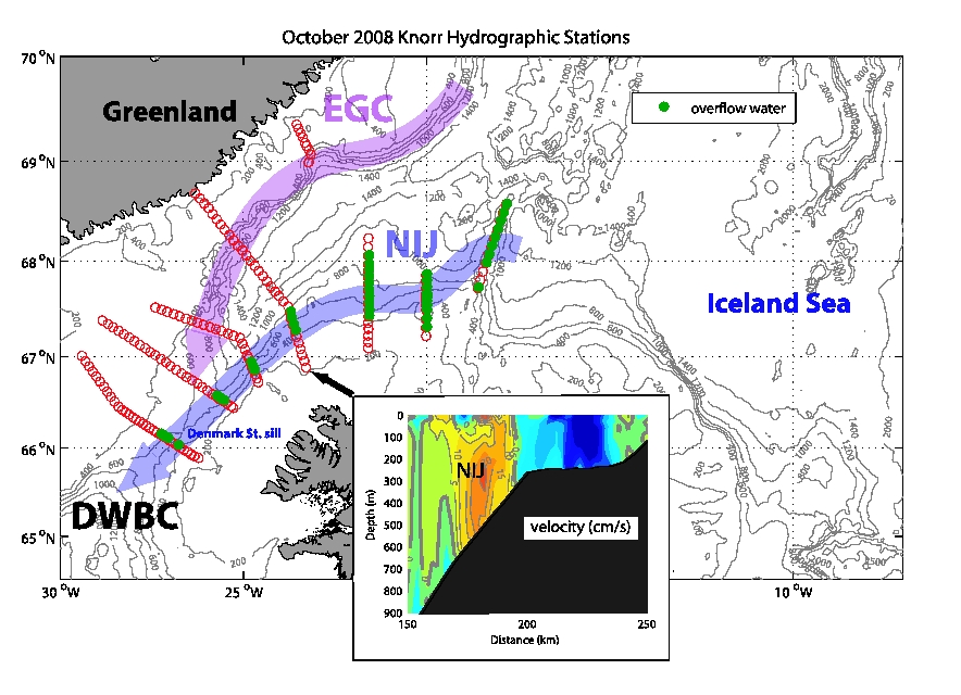
The North Icelandic Jet (NIJ) flows along the north slope of Iceland carrying dense "overflow" water. It represents a new pathway distinct from the established East Greenland Current (EGC). And there it was, flowing from east to west toward the Denmark Strait. It wasn’t enormous, transporting about one million cubic meters of cold water per second, compared, say, to the 35 million in the North Atlantic Current that carries warm Atlantic-origin water into the Nordic Seas. (By the way, ocean scientists measure water transport in units called Sverdrups, in honor of the brilliant Norwegian oceanographer Harald Sverdrup, 1888-1957. One Sverdrup, or Sv, equals a volumetric transport of one million cubic meters per second.) But one Sv. is far from trivial. Then in 2004 Jonsson and Valdmarsson published a paper in a technical journal read only by scientists, Geophysical Research Letters, proposing that their newly discovered yet still unnamed current contributes a “major” portion of the water entering the Denmark Strait.
This was very intriguing, but it was based mainly on velocity measurements with little hydrographic information, that is to say, minimal temperature and salinity data. The Icelandic scientists of course recognized the relevance of hydrography, but they lacked the ship time to perform it. And therein lies another reason why oceanography is such a young science and why parts of the world ocean remain under-sampled. Physical oceanography is expensive, and since there’s no pending profit in it, private enterprise doesn’t participate. Funding must come from governmental organizations such as the National Science Foundation in the U.S. and its counterparts abroad. This ship runs about $45,000 a day just in operational costs, never mind science costs. Still, there was this sustained flow on the order of one Sverdrup. It had to come from somewhere, to go somewhere, and it certainly appeared to be going for the Denmark Strait. If so, it had the potential to be a paradigm shifter. But at that point, this was a big if.
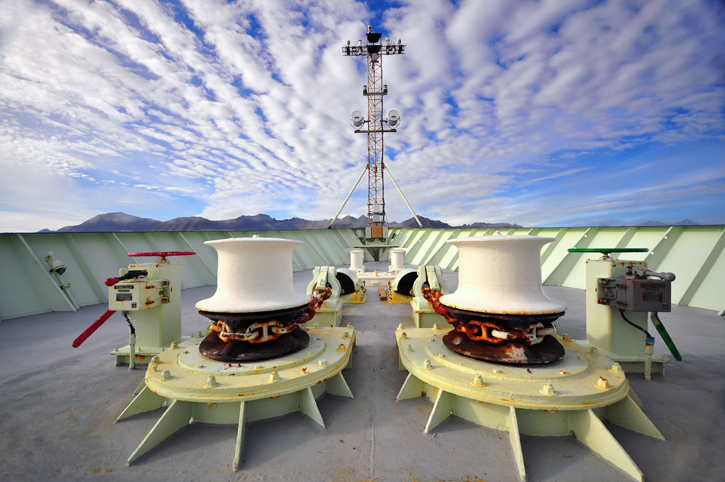
Through the capstans to Greenland. © Rachel Fletcher Skipping a few details, this brings us to Bob’s 2008 cruise that has, for its severe weather, gained legendary status aboard Knorr. The basic objective of the cruise was to “turnaround” several moorings south of the strait. But between storms, Bob slipped in a few days to run CTD sections athwart the proposed current to verify its existence. Sure enough, it was there right where the Icelanders claimed, hugging the Iceland shelf and flowing from east to west. Hmm. That introduced multiple questions: Where did it come from? What caused a current in that area, and not just any old area, but one in proximity to and perhaps heading toward the critical Denmark Strait? If indeed it contributed water to the inflow, then it was likely contributing to the overflow. That alone made it important as well as merely interesting. But still,…a new current. More data was necessary before old paradigms fell to the new. Bob, Kjetil, Steingrimur, and Hedinn returned to the region aboard the Bjarni Samundsson in 2009 to run more hydrographic and velocity lines across the current. Then everyone went home to analyze the data. Yes, the current actually did flow around the northwest corner of Iceland, no question about it. Its existence a solid fact, it now needed a name. In exploration, the privilege of naming a new feature traditionally falls to the discoverer(s). Bob and Kjetil encouraged the Icelanders to pick one, but they hesitated for a time, though it’s not exactly clear why. Perhaps natural modesty. But then it’s no small matter to name a thing that will remain on record forever. Anyway, after some gentle prompting, Steingrimur settled on the Northwest Icelandic Jet, later modified to the North Icelandic Jet.
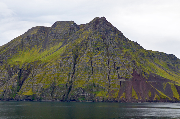
Siglufjordur, Iceland. © Rachel Fletcher And that brings us to today aboard Knorr on this calm, foggy morning about 100 miles off the north coast of Iceland—and to the hypothesis as to the origins of the jet Bob and Kjetil mean to test on this cruise. I have as of today only a fingertip grip on the oceanographic dynamics that “cause” the current. With help from these two scientists I’ll strengthen my grip firmly enough to explain it in accessible language. (I see them now in the main lab sitting shoulder to shoulder peering and occasionally pointing at Bob’s computer screen as they discuss what they’re seeing, so I’ll wait to corner and question them later.) But as to their on-board process, I can say this now: They contend that the jet is formed right there off the north coast of Iceland by a particular series of physical interactions between warm water and cold, light water and dense. Bob and Kjetil freely admit, however, that the current could be coming from elsewhere. Perhaps from the north being steered southward by a submarine mountain range called the Kolbeinsey Ridge. This is a reasonable possibility. Currents are often steered by underwater topography (“bathymetry”), and the ridge is well positioned to steer a south-setting current onto Iceland shelf. It’s possible also that the current flows from around the east side of Iceland. And so they will first parse with tightly packed, high-resolution CTD casts the slope-water region of Iceland where they know the NIJ is present—and then go search the waters north and east, where they hope it is not.
Leaving Greenland. © Rachel Fletcher Well, we’re due for some more heavy weather early tomorrow and Friday, which surprises no one. In the wee hours tomorrow, we’ll complete the present CTD line across the NIJ, then head to Akureyri to pick up the new CTD innards. Then it’s right back out on the trail of the North Icelandic Jet.
Last updated: December 27, 2011 | |||||||||||
Copyright ©2007 Woods Hole Oceanographic Institution, All Rights Reserved, Privacy Policy. | |||||||||||
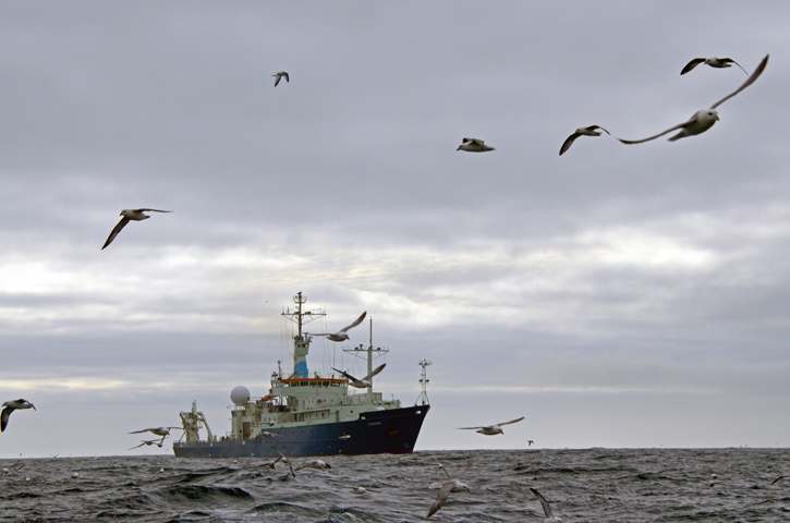 Knorr and the omnipresent Fulmars. © Rachel Fletcher