Rob Evans
Taking Earth’s Inner Temperature
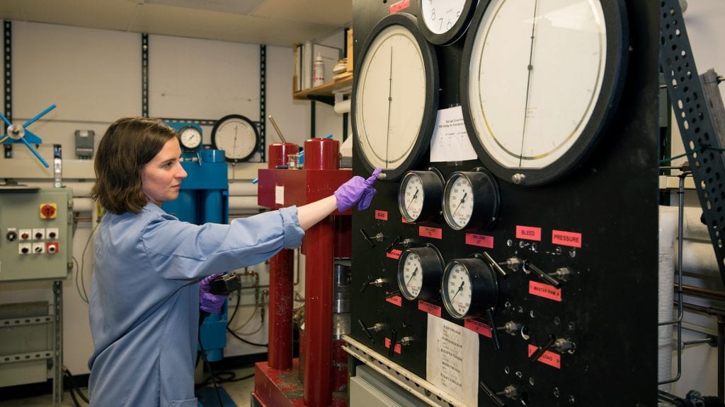
Woods Hole Oceanographic Institution wasn’t an obvious fit for Emily Sarafian. “I always felt a little out of place here, because I don’t study the ocean, really,” said Sarafian, a recent graduate student of the…
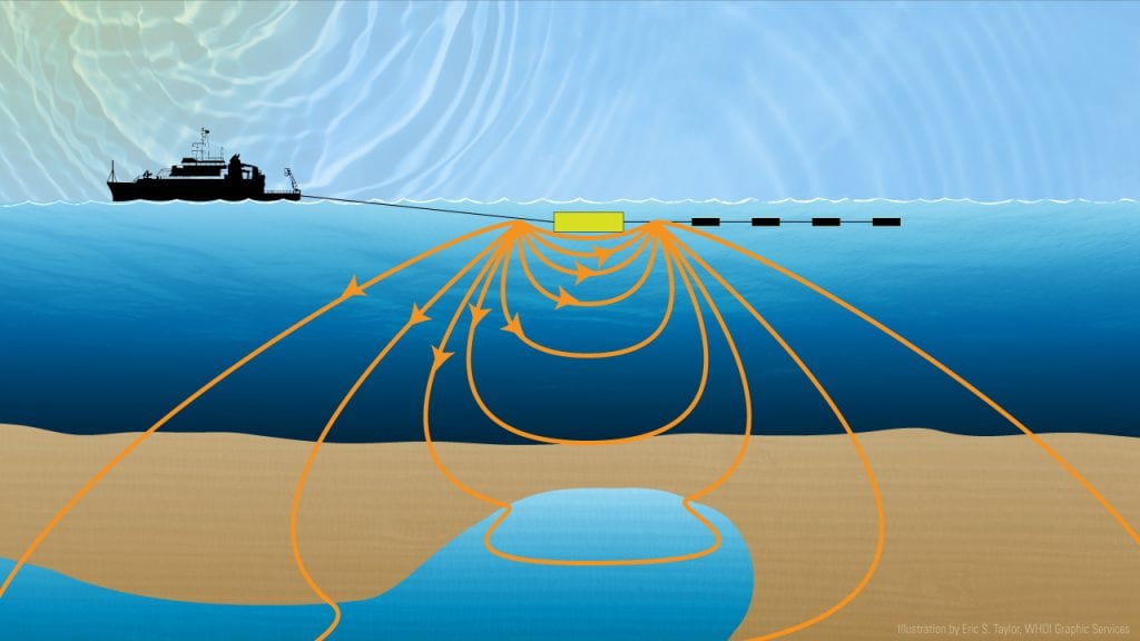
Fresh Water Below the Seafloor?
Using a new method to distinguish fresh water from oil or salt water, scientists are exploring beneath the continental shelf off New England to look for large pockets of trapped fresh water. This water may be continually filling from groundwater flowing from land or, alternatively, may have been left behind by ice ages glaciers.
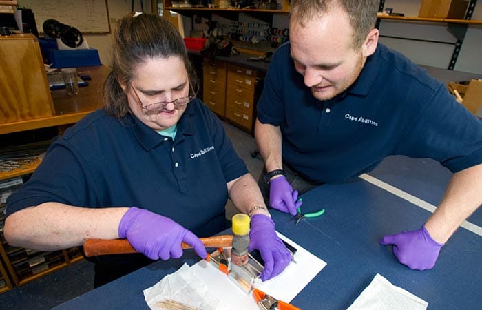
Cape-Able Workers Build Deep-Sea Devices
In 2009 Rob Evans knew he had a laborious task coming. He needed to build 120complicated and delicate silver chloride electrodes for deep-sea instruments. He also wanted to change the design, to make them more…
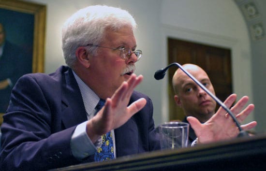
Joyce, Evans Give Testimony on Oceans to Congress
WHOI scientists Rob Evans and Terry Joyce testified June 8 before the House Subcommittee on Fisheries and Oceans, chaired by Wayne Gilchrest (R-Md.) in a continuing effort to help educate the U.S. House of Representatives on the oceans.
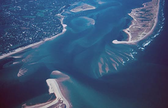
Rising Sea Levels and Moving Shorelines
Changes to the shoreline are inevitable and inescapable. Shoals and sandbars become islands and then sandbars again. Ice sheets grow and shrink, causing sea level to fall and rise as water moves from the oceans to the ice caps and back to the oceans. Barrier islands rise from the seafloor, are chopped by inlets, and retreat toward the mainland. Even the calmest of seas are constantly moving water, sand, and mud toward and away from the shore, and establishing new shorelines.
A Current Affair
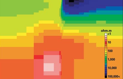
oal of probing the earth’s inaccessible deep interior. But the technique remains something of a mystery even to many marine scientists. It has been used widely on land, particularly for regional-scale surveys, but only a few full-scale MT surveys have been carried out on the seafloor.