Commercial ship tracks Gulf of Mexico’s hurricane heat potential
The vessel will help track hurricane intensity and other ocean conditions across the Loop Current on its regular route between Jamaica and New Orleans
Estimated reading time: 4 minutes
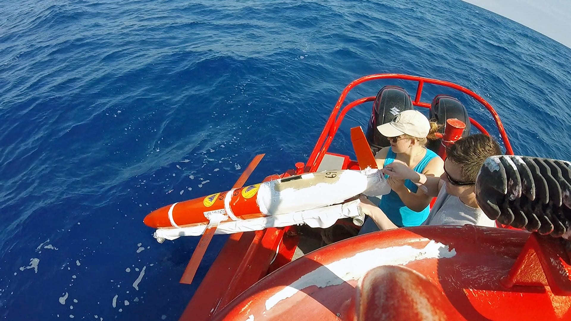
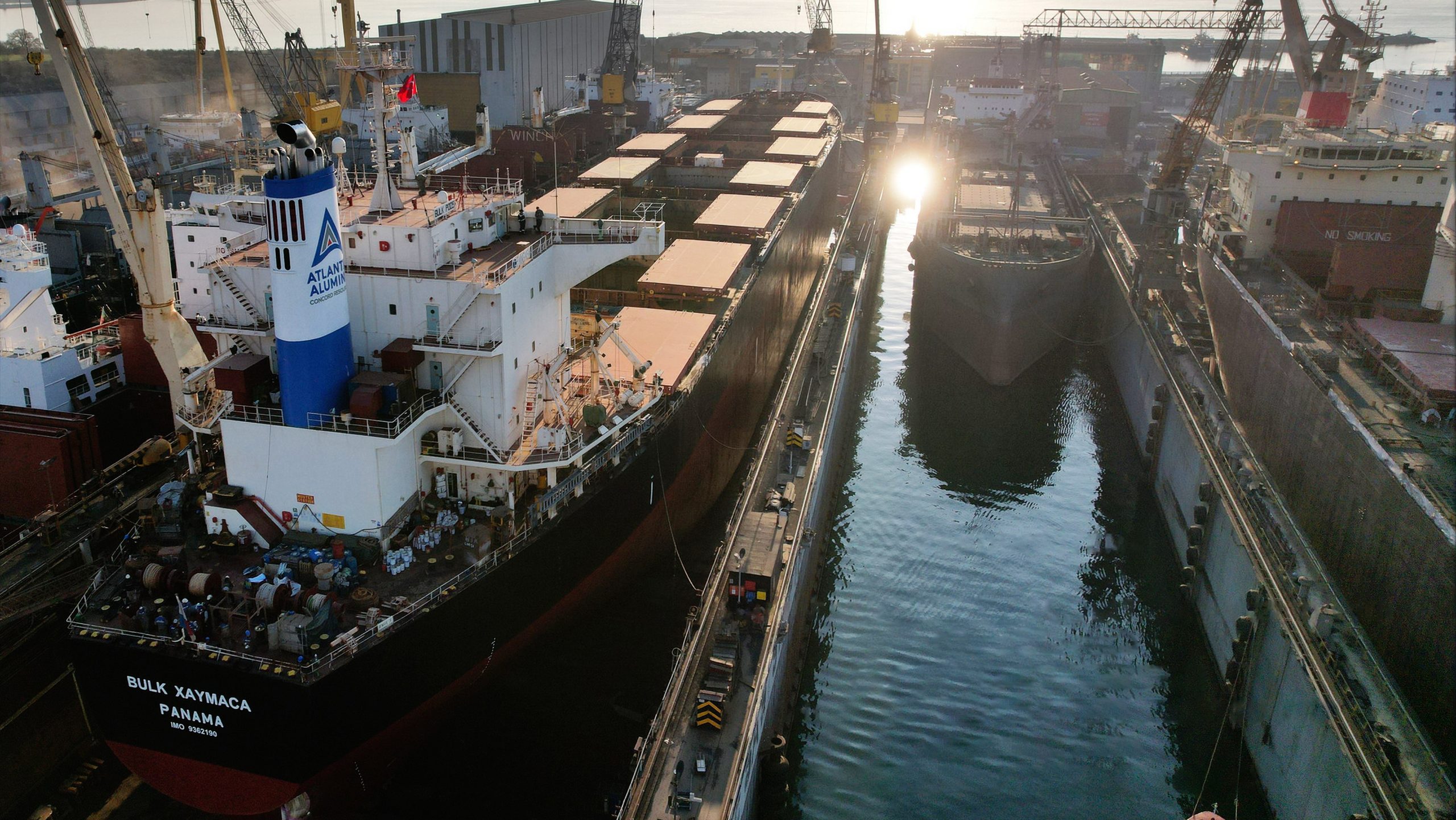
When the commercial ship, M/V Bulk Xaymaca was in dry dock earlier this year, the owners of the oceangoing dry bulk carrier voluntarily cut a hole in its bottom to install a scientific sensor to measure water current speeds at various ocean depths.
Now, as the 225-meter-long ship plies its regular seventeen-day round trip route between Jamaica and New Orleans, that instrument, and others to be installed soon, add to the toolkit scientists have to track hurricane intensity and other ocean conditions across the Loop Current and a field of eddies in the Gulf of Mexico. The Loop Current is an area of warm water that flows through the Gulf of Mexico, past the Florida Keys, and up the Atlantic Seaboard.
This addition to the toolkit for scientists comes just in time for the 2022 Atlantic Hurricane season, which got underway this month.
The Bulk Xaymaca, operated by Pangaea Logistics Solutions which is headquartered in Newport, R.I., is providing a platform from which to collect ocean data as part of Science RoCS (Science Research on Commercial Ships), an initiative for research institutions and industry to collaborate to gather consistent and repeated scientific observations of the ocean and atmosphere.
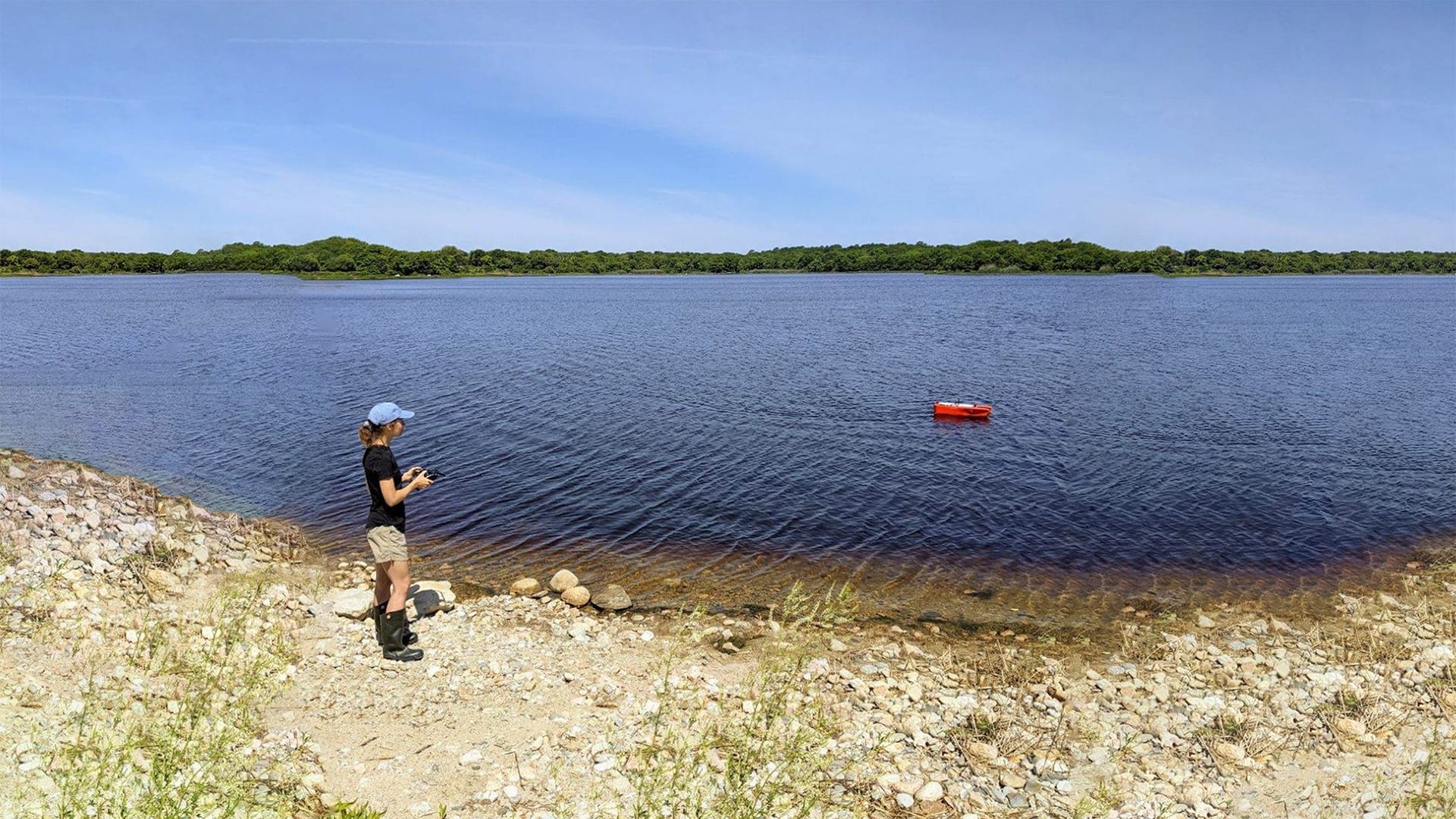
Developed by the Woods Hole Oceanographic Institution (WHOI) and partner organizations, the initiative takes advantage of commercial vessels to expand monitoring of the ocean. More than 50,000 commercial vessels operate at any given time. Yet, there are fewer than 100 research vessels worldwide. Scientists say the initiative provides the opportunity to use commercial vessels to study the ocean and air-sea interactions.
“The ocean is under-sampled, especially the subsurface ocean,” says Magdalena Andres, the principle investigator on some Science RoCS proposals. “You really need ships out there” to track ocean conditions. Andres, an associate scientist in WHOI's Department of Physical Oceanography, says other ocean tracking methods, including research vessels and autonomous instruments, are very useful, but that ships making repeat tracks in remote regions, or in parts of the ocean that are important to study, can provide valuable measurements. Science RoCS, which began in 2020, builds on other efforts to engage commercials ship to collect ocean data.

The Gulf of Mexico and Caribbean Sea—where hurricanes can intensify—is an important region to measure, says Leah McRaven, research associate in physical oceanography at WHOI. “Gosh, the ocean has so much heat content in this region. There are implications for everything from the Gulf Stream variability to fisheries to the oil and gas industry to hurricane prediction. There’s an extremely diverse array of people who would be interested in data from the region,” she says.
Andres adds that the Pangaea ship’s instruments will take measurement to determine where and how strong the shifting Loop Current is, and what the temperature profile looks like on either side of the current prior to a storm coming. “This will provide data to allow us to make predictions if we are doing forecasts, or to learn if we are doing hindcasts, how it is that the ocean feeds back onto these storms,” she says. “If you want to make predictions about what something like a hurricane is going to do, you need to know what the ocean is doing, because the hurricane can get its energy from the ocean, or it can lose energy to the ocean.”

The M/V Bulk Xaymaca will be able to provide near real-time observations of the ocean that will better document the position and strength of the Loop Current and transient ocean eddies in the east/central Gulf of Mexico, adds Shawn Smith, director of the Marine Data Center at Florida State University’s Center for Ocean-Atmospheric Prediction Studies. “The strength of these features and their location are important for hurricane forecasting as they are factors in the available upper ocean heat content, which, when plentiful, can fuel hurricanes or even stimulate rapid strengthening,” says Smith, a Science RoCS team member.

Mark Filanowski, chief executive officer and director of Pangaea Logistics Solutions, says the company is involved with RoCS “simply because we share similar missions. “We all need to better understand our ocean environments and the impacts we have on them and how they can impact our lives and our operations. We can only do this with science, engineering, and education, and we can help by providing real time data.” Filanowski says his company appreciates what Science RoCS is doing and hopes the company can better utilize data coming out of the studies to provide better efficiencies to reduce its own impacts on the ocean.”
Kerry Strom, marine operations coordinator for WHOI, points to a NOAA estimate that more than 80% of the ocean is unexplored. “The opportunity for Science RoCS is quite great to help fill that gap,” she says.