A cabled ocean
Internet cables on the seafloor could advance how we track changes in the Arctic
Estimated reading time: 4 minutes
If you think the Arctic is an unforgiving tundra, try living there without the ice.
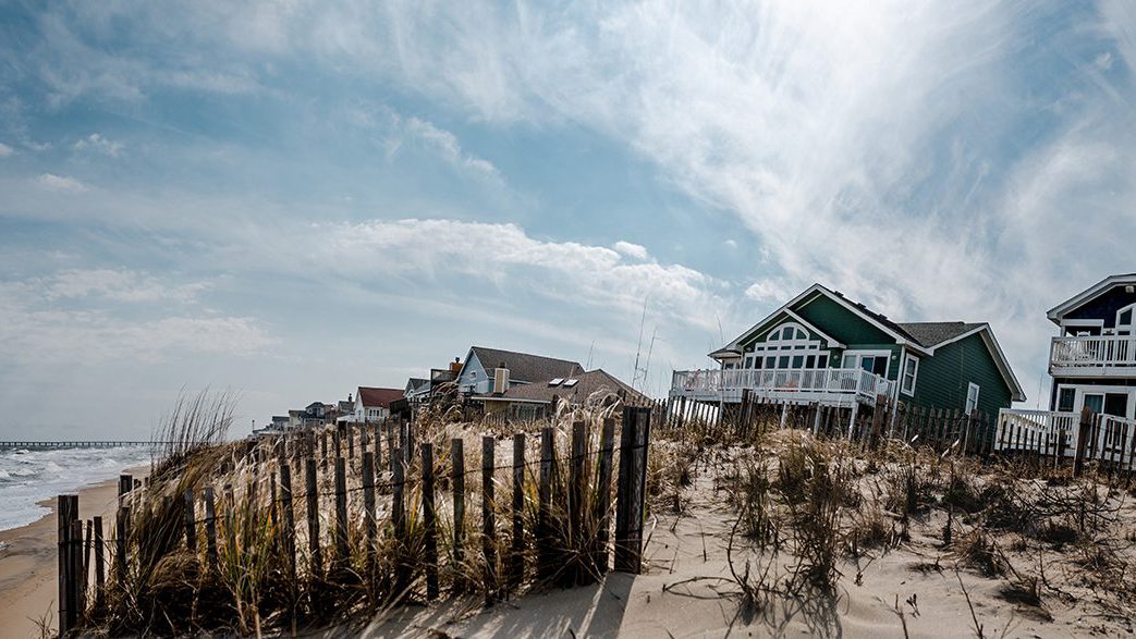
That’s what residents of Alaska’s North Slope are up against as climate change and warming temperatures reduce seasonal landfast ice—the frozen crust that shields their land from violent waves and storm surge in the winter.
In general, the Arctic continues to see a precipitous drop in average ice cover as planetary temperatures rise—nearly 13 percent each decade since 1970, an area 1.2 times the size of Texas. This exposes more of the ocean to wind which now generates unprecedented wave activity. During periods without landfast ice, storms can chip away at the North Alaskan coastline, compromising the already-thawing permafrost that buttresses the land upright. It’s a threat that Utqiagvik, a town of roughly 4,300 at the seat of the Alaskan north, has become painfully aware of.
“Our storms are just getting bigger and bigger,” says Martin Edwardsen, a resident and Indigenous Traditional Ecological Knowledge (ITEK) specialist. “We've watched the cliffs down the coast just get closer and closer to the ocean and then eventually slough off due to the permafrost melting.”

In September 2023, a storm buffeted the coast, delivering 60-mile-per-hour gusts that pried roofs off homes throughout Utqiagvik, and sent swells that threatened to sweep away pile dwellings. Many residents were evacuated, including those from one seaside apartment complex who were relocated to a nearby hotel, recalls Edwardsen.
Some projections of Arctic ice suggest Utqiagvik and other North Slope towns could lose as much as 50 days of landfast ice per year as the world heads toward 2°C of warming. But with marshland and tundra at their backs, northern Alaskans have nowhere else to go.
“There's nothing you can really do about it but try to prepare for the next storm,” says Edwardsen.
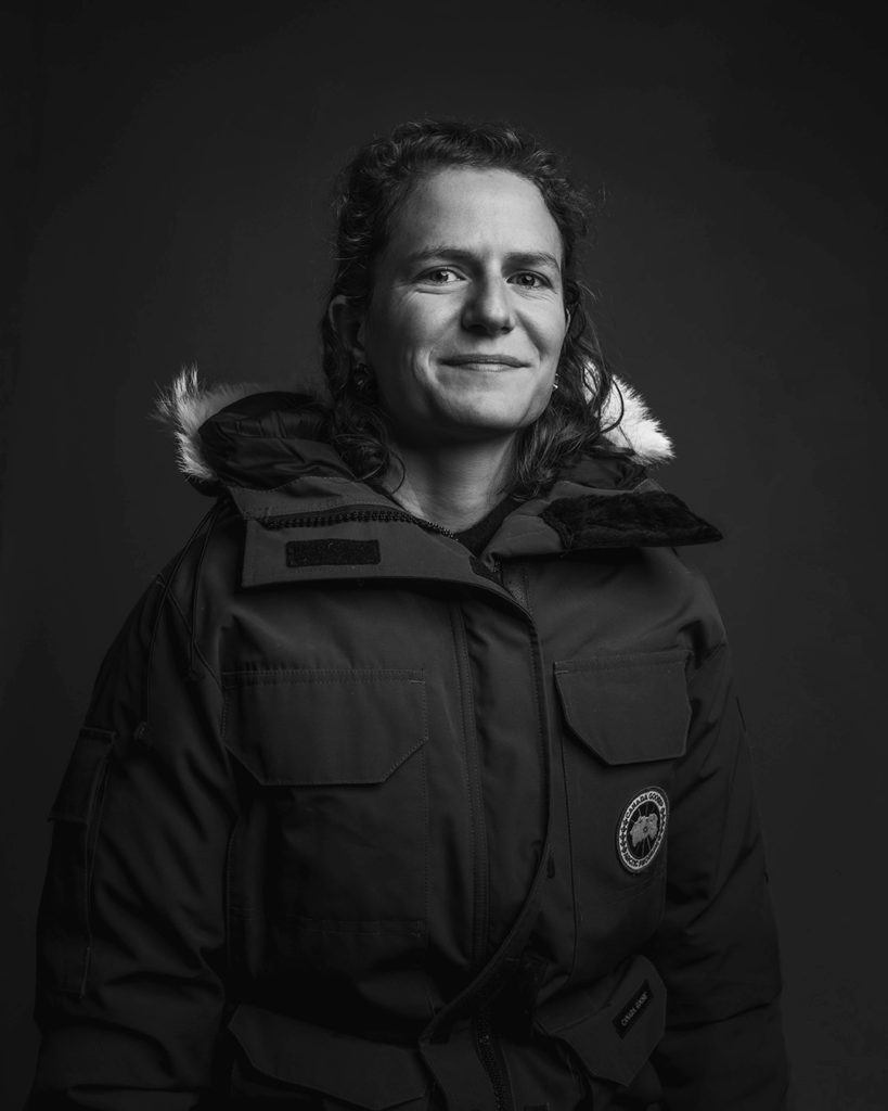
WHOI assistant scientist Maddie Smith in her parka. (Photo by Daniel Hentz, © Woods Hole Oceanographic Institution)
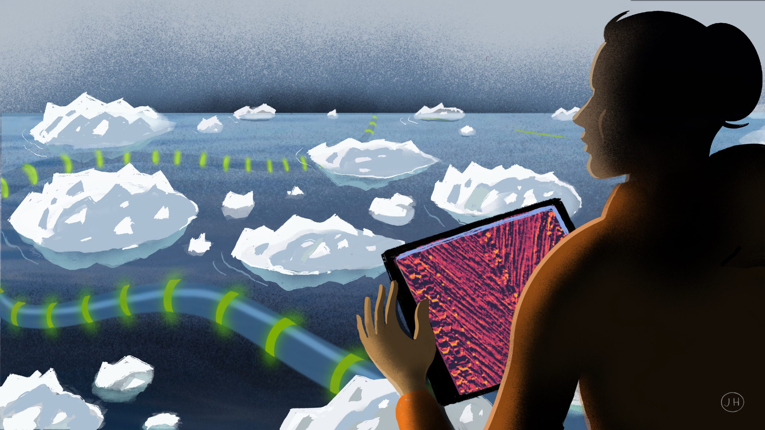
To help residents predict when they may be vulnerable to storms, WHOI scientist Maddie Smith and a team led by Sandia National Laboratories have developed a novel way to measure wave activity by leveraging existing internet infrastructure on the seafloor of Prudhoe Bay (200 miles east of the city).
The new technique, known as Distributed Acoustic Sensing or DAS, uses laser technology to detect variations in wave height above the internet cable. Larger wave peaks, for instance, will put more pressure on the cable; troughs take that pressure off. Areas with little or no change in pressure suggest where ice may be dampening the swells above. Scientists emit these laser beams and interpret how they refract in the cable using a suitcase-sized tool called an interrogator. The result is a high-resolution map of how ice and waves are changing around the coast.
“The fact that we can get data every 10 meters (33 feet) per 40 kilometers (24 miles) of distance is like [deploying] thousands of scientific buoys,” says Smith. “It opens up a lot more processes that we can look at, which we just can't do with sparse observing systems,” such as buoys and moorings.
Quintillion, the company that owns and allowed access to the cable running to Utqiagvik, plans to install another 1,100 miles of line down Alaska’s Bering Strait region by 2027—completing a ring around the top third of the state (mostly across the coastal seafloor). That could mean more opportunities for scientists to collect wave and ice data in the frozen north at a time when studying these changes is paramount to climate research.
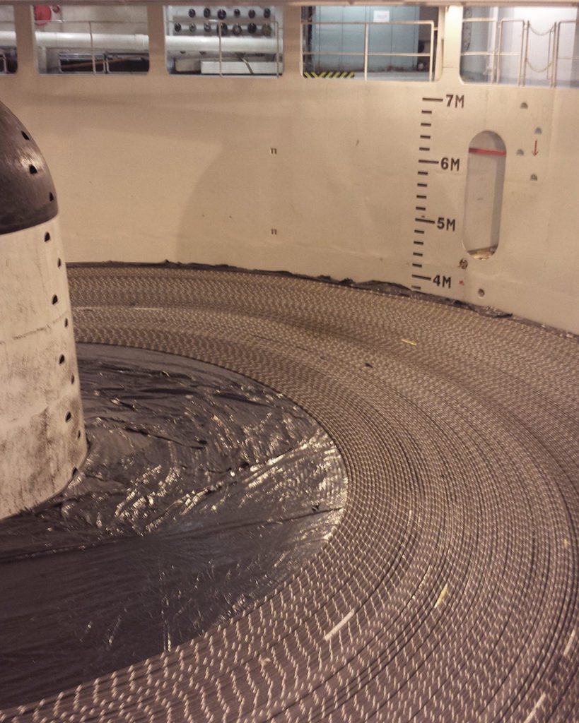
Fiber optic cable is unspooled from inside a ship to the seafloor below. (Photo courtesy of Mac McHale © Quintillion)
“If we’re able to provide a service to the scientific community as a [byproduct] of the infrastructure that we have in place, then we’re happy to do that,” says Quintillion’s president Mac McHale. “We think it’s for the right cause, whether that’s climate management or traffic management in the high north. They’re all worthwhile pursuits.”
Smith and the Arctic team plan to return to the station in the late summer and early fall of 2025 to collect more data from the cable so they can better understand how ice evolves during key seasonal changes like the fall freeze-up.
The Alaskan Arctic may just be the start. There are over 500 fiber optic cables running along the bottom of the Arctic Ocean today, some traveling to extremely remote areas similar to Utqiagvik, which scientists couldn’t otherwise reach.
“My dream is that every cable that's out in the coastal ocean is just constantly measuring waves that can be fed into global models,” says Smith. “A bigger, long-term goal is using this technology to enable us to move toward something where locals can have a more predictive understanding of what's going to happen in the next days to weeks.”