WHOI scientist Matt Charette and Carolina Ruiz Fernandez of the National Autonomous University of Mexico use a GPS device to determine the precise location of a cenote, or natural sinkhole, near Puerto Morelos, Mexico. The limestone bedrock in this region is very porous, with caves in many locations where the rock has been dissolved. These caves are ideal windows underground that allow researchers access to groundwater without having to drill into the rock. Charette and his colleagues study the cycling of nutrients in groundwater and the flow of groundwater into the coastal ocean.(Photo courtesy of Meagan Gonneea, Woods Hole Oceanographic Institution)
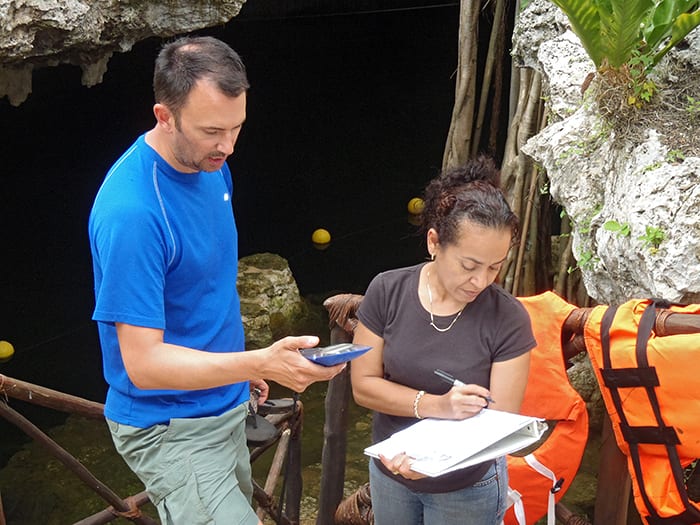
Image and Visual Licensing
WHOI copyright digital assets (stills and video) on this website can be licensed for non-commercial use upon request and approval. Please submit your request via our Media Request Form.
For assistance or accessibility accommodations, call (508) 289-2647.