Rip currents pose a threat to public safety, so officials are interested in ways to predict when and where they form. To study the dynamic and intermittent conditions that create rips, WHOI scientists used a 73-foot-long landing craft, shown here, to dredge a channel in shallow water at a research beach in Duck, N.C. to induce the formation of rip currents. Sensors installed in the surf zone gathered data to reveal insights into how rips form. (Photo courtesy of Bill Birkemeier, U.S. Army Corps of Engineers Field Research Facility)
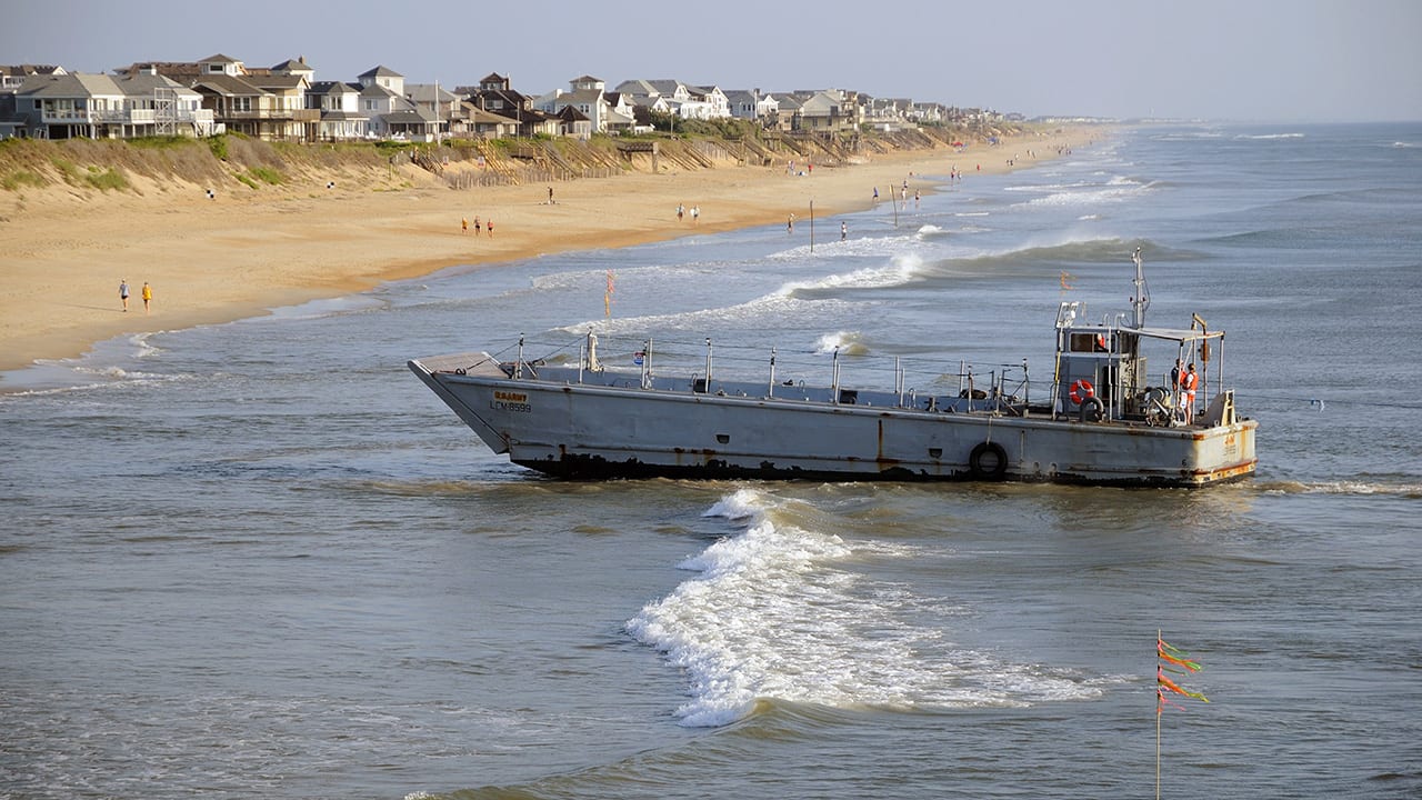


Image and Visual Licensing
WHOI copyright digital assets (stills and video) contained on this website can be licensed for non-commercial use upon request and approval. Please contact WHOI Digital Assets at images@whoi.edu or (508) 289-2647.