Cycles through data projected onto the Spilhaus map. In order of appearance: ocean surface currents colored by temperature, bathymetry, plate boundaries and active submarine hydrothermal vent fields, sea ice concentration, chlorophyll concentration. (Map by Natalie Renier, WHOI Creative )
SOURCES:
Mean ocean surface currents (u/v components) at 1/3° resolution and 5-day temporal frequency. Generated using NASA JPL’s Ocean Surface Current Analyses Real-time (OSCAR) dataset, Version 2.0 (interim); https://doi.org/10.5067/OSCAR-03D01.
Daily global sea-surface temperature (Kelvin) at 1/10° (~10 km) resolution. Generated using NAVOCEANO K10_SST-NAVO-L4-GLOB-v01 dataset; https://doi.org/10.5067/GHK10-4FP01.
Global ocean bathymetry and land topography at 15 arc-second resolution. Generated by the General Bathymetric Chart of the Oceans (GEBCO) project; https://doi.org/10.5285/36c8e7a7-1a12-4d3d-9a75-97e7e2d15b0e.
Global tectonic plate boundaries and geologic province polygons defining continental, oceanic, and orogenic domains. Generated using the revised New Maps of Global Geologic Provinces and Tectonic Plates dataset by Hasterok et al. (Earth Science Reviews, in revision).
Global compilation of active and inferred submarine hydrothermal vent fields (point features) containing vent location, depth, tectonic setting, temperature class, and related metadata. Generated from Beaulieu, S.E. & Szafrański, K.M. (2020). InterRidge Global Database of Active Submarine Hydrothermal Vent Fields, Version 3.4 [dataset]. PANGAEA. https://doi.org/10.1594/PANGAEA.917894.
Daily percent ice fraction and edge at 10 km resolution spanning March 2023 – March 2025. Generated using E.U. Copernicus Marine Service Information (CMEMS); https://doi.org/10.48670/moi-00134.
8-day composites of maximum chlorophyll-a concentration (mg m⁻³) at 0.25° resolution spanning January 1, 2022-January 1, 2025 from the Copernicus Marine Service Global Ocean Biogeochemistry Hindcast (product ID: GLOBAL_MULTIYEAR_BGC_001_029). Generated using E.U. Copernicus Marine Service Information (CMEMS); https://doi.org/10.48670/moi-00019.
© Woods Hole Oceanographic Institution
More content from : How the ocean works
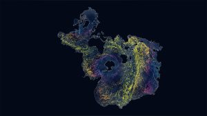
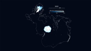
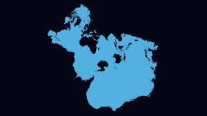
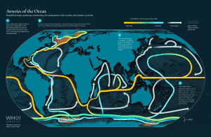
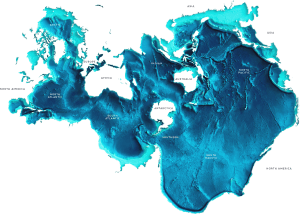
Image and Visual Licensing
WHOI copyright digital assets (stills and video) on this website can be licensed for non-commercial use upon request and approval. Please submit your request via our Media Request Form.
For assistance or accessibility accommodations, call (508) 289-2647.