From the Coleman and Susan Burke Operations Room in LOSOS, Diana Wickman and WHOI’s other ocean glider pilots can monitor vehicles “flying” underwater thousands of miles away. When a yellow, torpedo-shaped glider surfaces from a dive, it uses the Iridium satellite network to relay its position, dive trajectory, and other engineering and scientific data. Pilots back at WHOI can view those data on computer screens in the operations room—or on any laptop equipped with Glider Terminal software and an internet connection. The pilots can also send information to a surfacing glider, such as a new sampling plan or destination. (Photo by Tom Kleindinst, Woods Hole Oceanographic Institution)
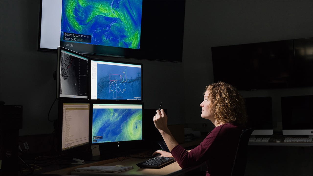
Image and Visual Licensing
WHOI copyright digital assets (stills and video) on this website can be licensed for non-commercial use upon request and approval. Please submit your request via our Media Request Form.
For assistance or accessibility accommodations, call (508) 289-2647.