WHOI scientists, along with colleagues from the University of North Carolina-Chapel Hill, deploy a meteorological buoy off the research vessel Neil Armstrong near Cape Hatteras in April, 2017. The buoy joins an array of instruments in the PEACH (Processes Driving Exchange at Cape Hatteras) project. Among its missions, the PEACH array should provide important information on the ocean’s role in driving the intensity of hurricanes—in particular, how cooler coastal waters can mix to the surface to diminish hurricane strength shortly before landfall. The array will also measure how fresh water from expected torrential rains moves offshore into the deep ocean, which can affect ocean mixing for subsequent storms. (Photo by John McCord, Coastal Studies Institute)
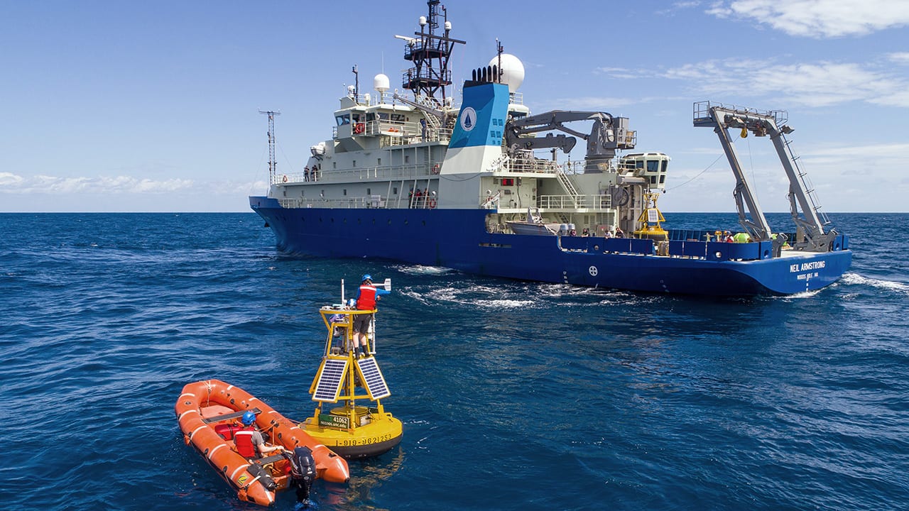
Image and Visual Licensing
WHOI copyright digital assets (stills and video) on this website can be licensed for non-commercial use upon request and approval. Please submit your request via our Media Request Form.
For assistance or accessibility accommodations, call (508) 289-2647.