WHOI postdoctoral scholar Sam Muñoz prepares the small research vessel Arenaria for launch in Big Lake, Missouri, this spring. Muñoz used the tripod in the foreground to extract sediment cores from the bottom of Midwestern lakes and rivers, as part of a project to reconstruct the flood history of the Mississippi River and its major tributaries. When rivers flood and overflow their banks, mud and sand is carried in river water and gets deposited in nearby lakes and wetlands. Muñoz can find their traces layered in the cores he extracts. He can date those layers to map the history of floods across a river basin. (Photo by Charlotte Wiman, Woods Hole Oceanographic Institution)
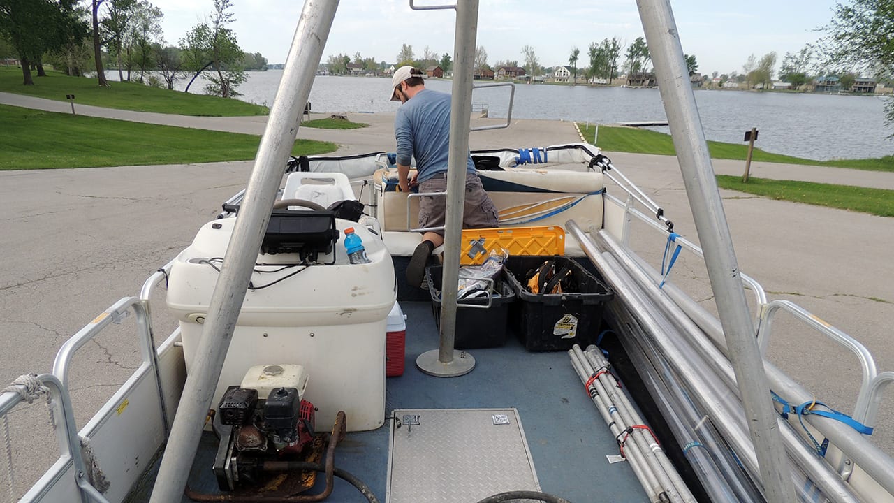
Image and Visual Licensing
WHOI copyright digital assets (stills and video) on this website can be licensed for non-commercial use upon request and approval. Please submit your request via our Media Request Form.
For assistance or accessibility accommodations, call (508) 289-2647.