Divers aboard the R/V Connecticut prepare to jump in the waters off South Beach on Martha’s Vineyard on October 1, 2011. Their mission: to plug a profiler into the underwater node at Martha’s Vineyard Coastal Observatory. Part of the collaborative OASIS project, the United States Geological Survey (USGS) also deployed an internet-connected instrument that will provide real-time data on optical, acoustical, and physical properties of the water column. The dive team (left to right) included Jay Sisson of WHOI, Mike Casso of USGS, Scott McCue of WHOI, and Emmanuel Boss of the University of Maine and one of the OASIS principal investigators.(Photo by Dann Blackwood, United States Geological Survey)
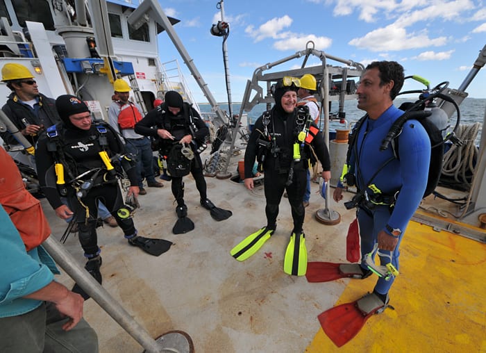
Image and Visual Licensing
WHOI copyright digital assets (stills and video) on this website can be licensed for non-commercial use upon request and approval. Please submit your request via our Media Request Form.
For assistance or accessibility accommodations, call (508) 289-2647.