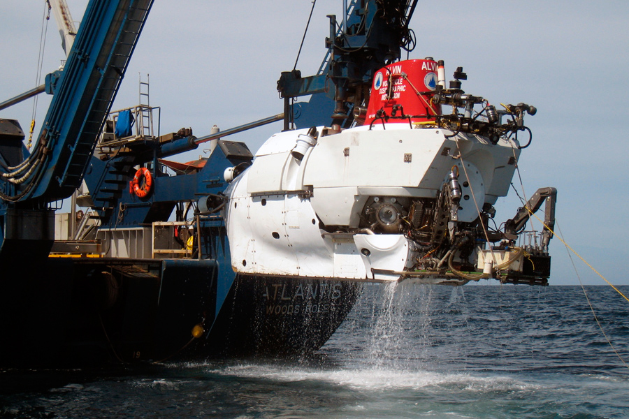
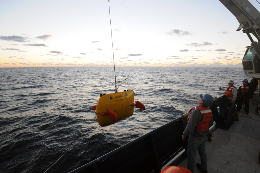
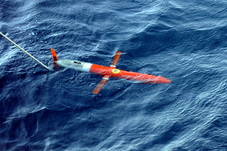
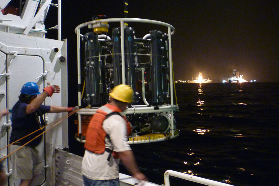
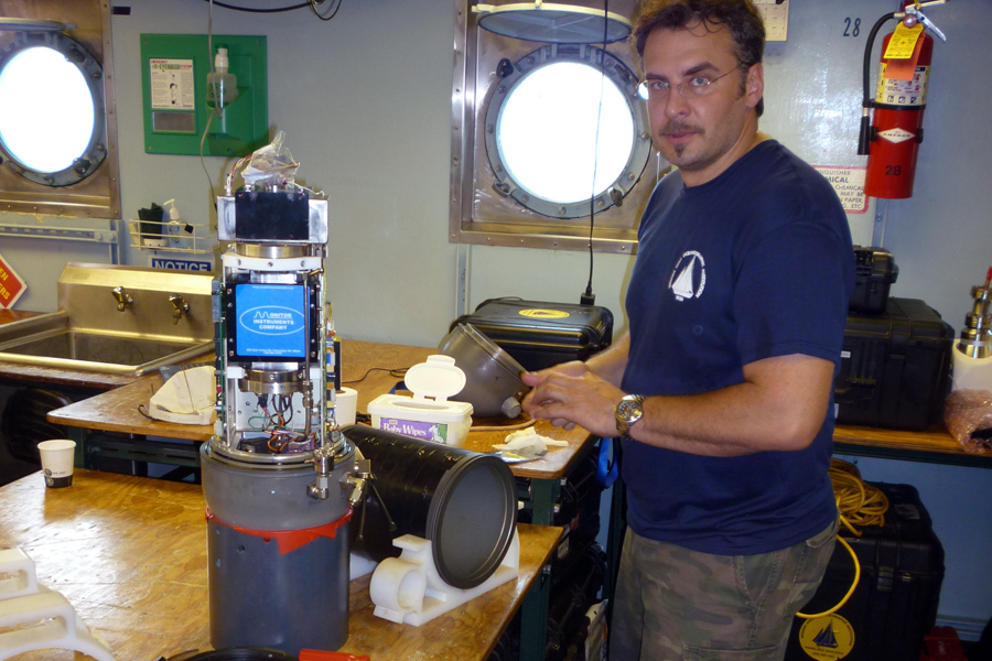
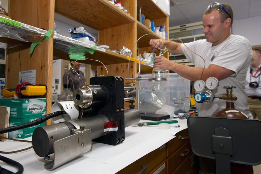
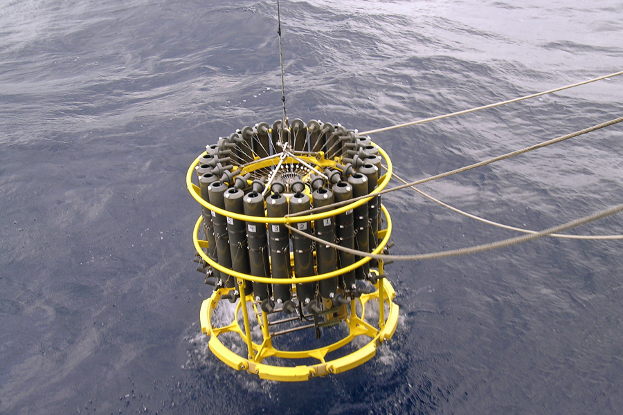
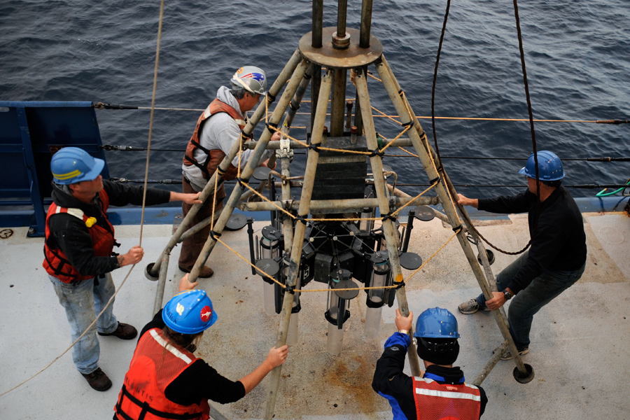
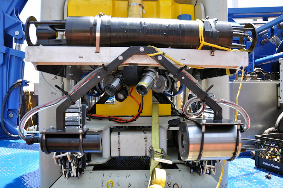
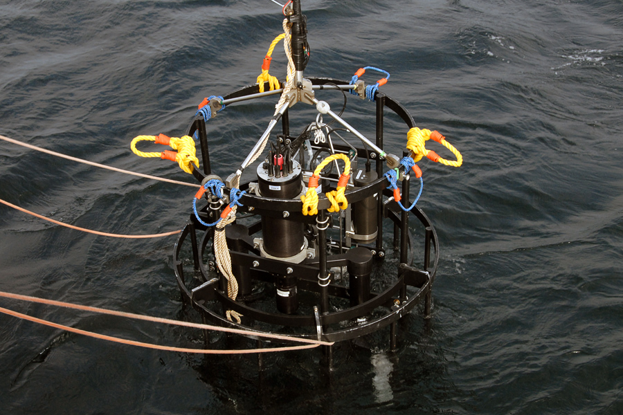
HOME
« Woods Hole Oceanographic Institution
Hide Thumbs First Previous Pause Next Last
Slideshow speed: 5 seconds
Move
1
  • 1

    Vehicles: HOV Alvin

    This human-occupied vehicle (HOV) carries up to three people (one pilot and two observers) as deep as 4500 meters beneath the ocean surface and was deployed in the Gulf to look for potential impacts of the oil on deep-water ecosystems in the Gulf. (Photo by Rod Catanach, WHOI)
  • 2

    Vehicles: ROV Jason

    This remotely operated vehicle (ROV) operates while tethered to a support ship and has been used to survey the seafloor in the Gulf to return sediment samples as well as samples of coral and other animals to the surface. (Photo by Chris German, WHOI)
  • 3

    Vehicles: AUV Sentry

    An autonomous underwater vehicle (AUV) developed at WHOI, Sentry was used to study the composition of the Gulf oil plume and to photograph and map the seafloor in advance of dives by Alvin. (Photo by Ken Kostel, WHOI)
  • 4

    Vehicles: Spray Glider

    An autonomous vehicle developed at WHOI and Scripps Institution of Oceanography that moves through the water without external propulsion, the Spray glider was used to track currents in the Gulf in the months immediately after the spill began. (Photo by John Toole, WHOI)
  • 5

    Measuring & Analysis: Acoustic Doppler Current Profiler (ADCP)

    This sonar sensor has been used extensively to measure fluid flow from hydrothermal vents and was also used to measure the rate of oil flow from the ruptured wellhead at the bottom of the Gulf.
  • 6

    Measuring & Analysis: Conductivity, Temperature, Depth (CTD) Sensors

    One of the primary tools used by oceanographers to determine the basic physical and chemical properties of seawater, CTDs were used extensively to monitor conditions in the Gulf.
  • 7

    Measuring & Analysis: TETHYS Mass Spectrometer

    This compact mass spectrometer was developed at WHOI and used to do continuous, in-situ chemical analysis of the oil plume and of unaffected waters in the Gulf. (Photo by Cameron McIntyre, WHOI)
  • 8

    Sampling & Collecting: Isobaric Gas-Tight Sampler

    Originally designed to sample fluids issuing from hydrothermal vents—and to keep those fluids at their native pressure—this device was used to make the only original samples of oil and gas flowing from the ruptured well. (Photo by Tom Kleindinst, WHOI)
  • 9

    Sampling & Collecting: Rosette Sampler

    This commonly used instrument is capable of bringing water samples back to the surface from multiple depths. (Photo by Bob Nelson, WHOI)
  • 10

    Sampling & Collecting: Sediment Trap

    Sediment traps enable scientists to collect and analyze the nearly continuous rain of organic and inorganic particles that fall to the seafloor from above. (Photo by Steven Beaupre, WHOI)
  • 11

    Sampling & Collecting: Multi Corer

    This tripod-shaped device carefully collects several cores from the seafloor to preserve the uppermost layers of sediment and was used in the Gulf to look for signs of oil on the ocean bottom. (Photo by Steven Beaupre, WHOI)
  • 12

    Imaging: Holographic Plankton Observation Device (HoloPOD)

    This specialized tool was used to photograph and analyze microscopic and macroscopic life in the ocean and was adapted to capture images of oil droplets in the Gulf. (Photo by Cabell Davis, WHOI)
  • 13

    Imaging: Video Plankton Recorder (VPR)

    Used to capture images of plankton and particulate matter in the water column, this underwater video microscope system helps researchers study subjects a few centimeters to less than 50 microns in size. (Photo by Peter Wiebe, WHOI)

1