|
|
|
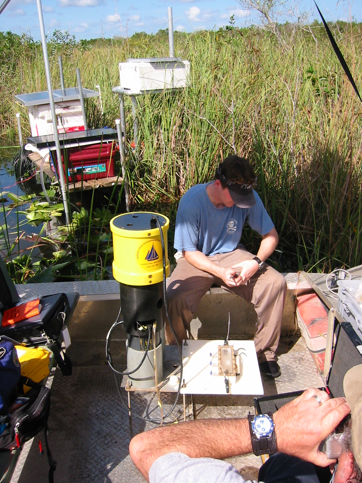
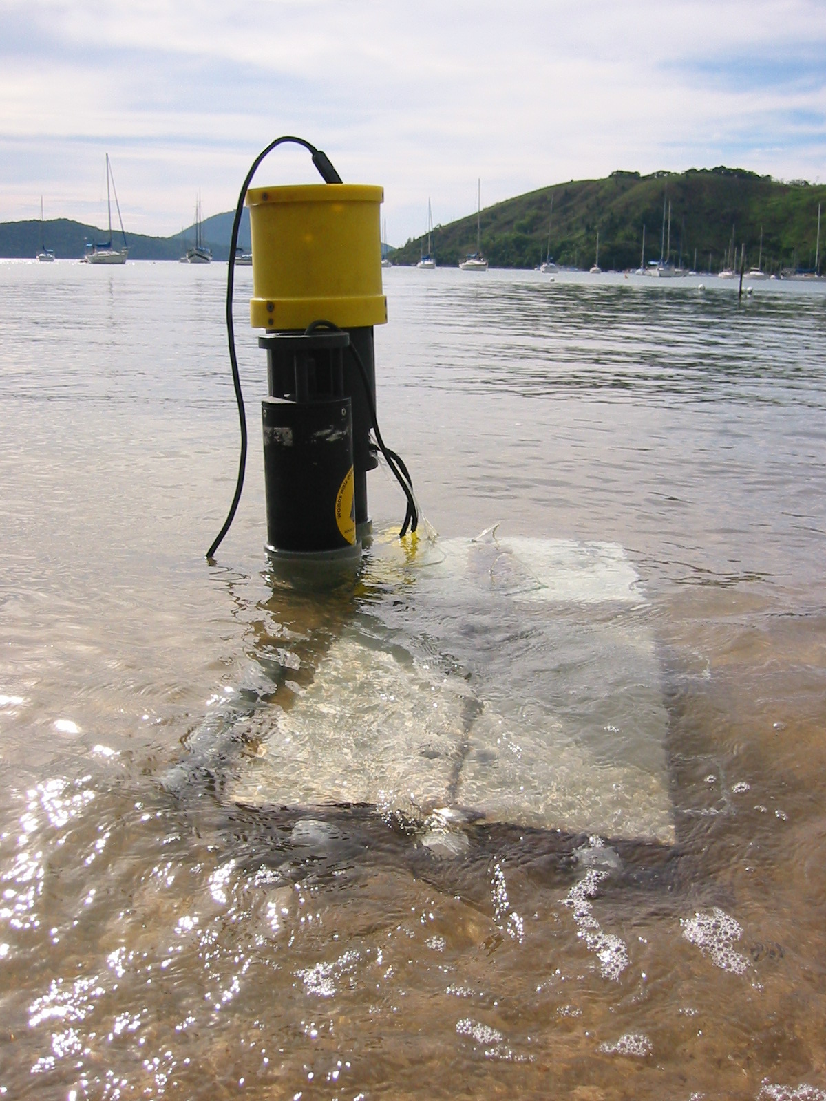
Automated Seepage Meter
Anthropogenic sources of nitrogen have adversely impacted the water quality
of coastal ponds on Cape Cod and other coastal regions of the nation. A
major source of "new" nitrogen to these coastal waters and estuaries is
groundwater, which intercepts septic tank fields along its flow path to
the coastline. The temporal and spatial variability of the groundwater-derived
nitrogen flux to coastal waters is understudied and, therefore, poorly understood.
|
This proposal is a one year "follow-on" to a currently
funded CICEET project with the same title. Under the current grant,
a new automated and autonomous method for measuring the rate of submarine
groundwater discharge (SGD) using conventional seepage meters was developed.
We have moved from bench top testing to a limited amount of field testing
in Waquoit Bay where the new instrument recorded tidally-dependent variability
in the magnitude and direction of the SGD. This new method involves
injecting dye into a mixing chamber attached to the seepage meter and following
the rate of dye dilution by groundwater with an in situ spectrometer.
The use of a commercial in situ nitrate analyzer to inject the dye and make
the absorbance measurements also allows one to measure the concentration
of nitrate in the ambient water. The overall goal is to transform the
current instrument from a prototype to a more refined version that can measure
high frequency rates of SGD and associated nutrients to coastal embayments
over periods of days to weeks. This goal will be addressed through the
continued development and testing of a combined automated seepage meter/DIN
(nitrate and ammonia) analyzer. This will include using a newly acquired
EcoLAB instrument that can measure both nitrate and ammonia in surface water
and upper pore waters.
The first part of the proposal year will be used to integrate the existing
technologies with field testing at our primary study site (Waquoit Bay NEER).
The second part of the year will entail instrument deployment at an alternate
NEER location, possibly within the Peconic Estuary on Long Island, NY. We
are participating in an SGD intercomparison experiment in this area in the
spring of 2002.
Many thanks to NOAA and CICEET for their support of this project
Automated Seepage Meter Study of
Groundwater Discharge in the Florida Everglades
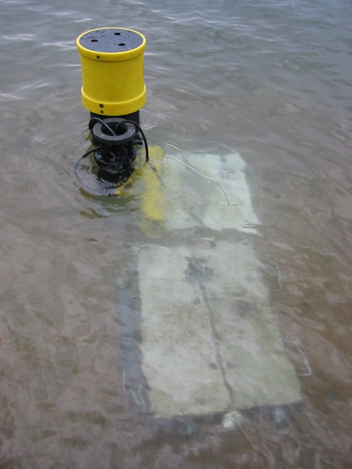
Traditional seepage meters are notorious for providing
ambiguous data in low-flow settings. We have therefore designed an automated
seepage meter that can detect and quantify groundwater in many environmental
settings. Based on a dye-dilution technique, this instrument provides
high-resolution time-series data for groundwater discharge to the coastal
zone. The dye-dilution method involves two repeatable steps - (1) the timed-injection
of a water-soluble dye into a "dye-mixing chamber" mounted in series with
a seepage chamber and (2) the subsequent timed-measurements of the absorbance
of the dyed solution. The rate at which the dyed solution is diluted
by the inflowing or out flowing water is directly proportional to the flow
rate moving through the surface area of the seepage housing. As indicated
by two sets of time-series studies, this instrument has performed reliably
in field tests at Waquoit Bay (Cape Cod, Massachusetts, USA) and Shelter
Island (Long Island, New York, USA). The instrument has yielded hydrologically
consistent flow rates and has revealed major and subtle connections between
tidal stage and the rate and direction of groundwater discharge. This new
seepage meter will be deployed for a short time (approximately one to two
weeks) at the nested groundwater monitoring wells constructed last year and
at the new wells constructed as part of this work plan. This will allow us
to "rate" the head differences measured in the wells to the flow measured
by the meter. Once the rating is completed for each site, we are optimistic
that the continuously measured heads in the wells will allow us to calculate
continuous seepage rates. The meter will also be deployed for short
times at other locations and at other times to determine the spatial and
temporal variability in seepage rates.
Many thanks to the USGS
for their support of this project.
back to top
|