February 16, 2004
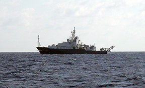
The research vessel R/V Revelle of the Scripps Institution of Oceanography (left) is also working at the East Pacific Rise doing geophysical experiments. Drs. Steve Constable and Kerry Key are the co-chief scientists on board Revel. Today they were in the area and watched the Alvin recovery. Revelle is a sister ship of the Atlantis, they were both built by the US Navy for the US academic oceanographic fleet about 6-7 years ago. The engineers on Revelle also kindly provided the Atlantis' engineers with some much needed spare parts for the washers and dryers on board. Thanks Revelle!!
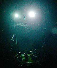
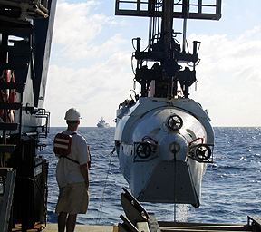
Bosun, Patrick Hennessy, and ordinary seaman, Jose Andrade stand by to deploy the RatCam early this morning before the Alvin launch for Dive 3973. The right photo shows a dark photo of Alvin on the seafloor taken by the RatCam today. While the camera worked, the strobes, unfortunately, did not. We may try one more time to get the RatCam to function properly. Thanks to all on board for their patience and help in deploying and recovering it.
 The
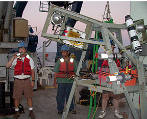
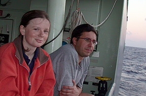
Flamingo shift - Rhian Waller and Javier Escartin - watch the RatCam deployment
before heading off to bed.
The
Flamingo shift - Rhian Waller and Javier Escartin - watch the RatCam deployment
before heading off to bed.

A screen grab of the real-time map used in Alvin to navigate the submarine during a dive. The sophisticated doppler navigation system was developed by Louis Whitcomb of John's Hopkins Univ. in collaboration with engineers at WHOI's Deep Submergence Lab and the National Deep Submergence Facility.
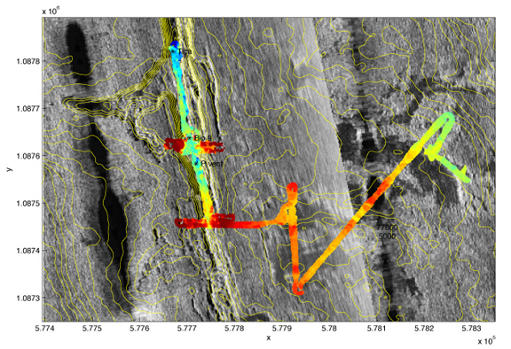
This map shows the Dive 3973 navigation plotted as the Imagenex bathymetry overlain on the DSL-120A side scan sonar with the ABE micro bathymetry contours shown in yellow. Vicki and Dan are trying to reconcile the various navigation data for the different data sets in order to build the best map possible for this part of the EPR axial trough and surrounding areas.
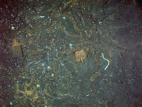
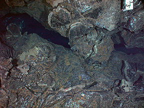
Some images from the downlooking DSPL digital camera on Alvin taken during today's dive. Left photo shows some old Alvin weights dropped near P vent. Middle photo shows the budded lobate lava overlying the sheet flow mapped during today's dive about 200 m east of the axial trough. The right photo shows the primary eruptive fissure of the 1991 submarine eruption that took place here at the EPR. The marker at upper right (#5) was deployed by Dan using Alvin in 1992 to help map the biology and geology of the area.
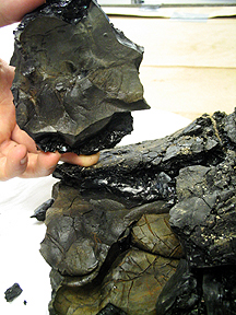
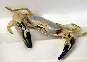
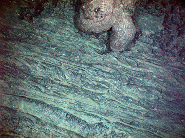
One of the lava folds recovered on today's dive showing extensive evidence for briny vapor during formation. The Brachyuran crab at right was recovered with Stace's and Cara's experiments and is now preserved for study back at Woods Hole.
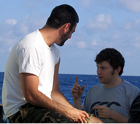 John
explains to Ryan how much he wants to go home... not really, he's actually
explaining the finer points of making haggis, a traditional Scottish culinary
delight.
John
explains to Ryan how much he wants to go home... not really, he's actually
explaining the finer points of making haggis, a traditional Scottish culinary
delight.