Overview
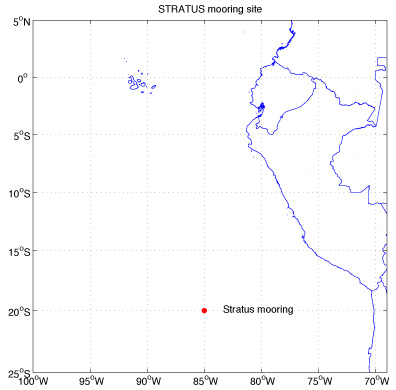
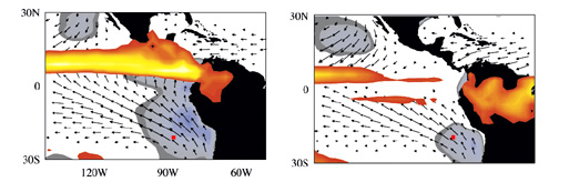
The Stratus project was conceived in order to monitor the evolution and coupling of the oceanic and atmospheric boundary layers under the persistent stratus cloud deck found west of Peru and Chile (Figure 2). This project embedded within the Eastern Pacific Investigation of Climate (EPIC) program began in October 2000 and will contribute, over a several annual cycles, to our understanding of the role of clouds in the eastern pacific in modulating atmosphere-ocean coupling.
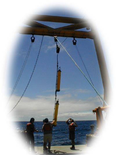
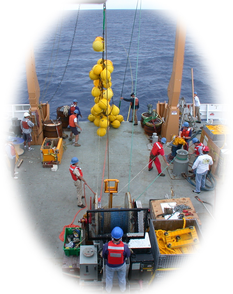
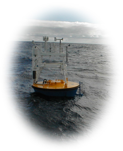
A well-instrumented surface mooring had deployed and recovered at 20'S, 85'W once in October 2001 by the Upper Ocean Processes group (UOP) of the Woods Hole Oceanographic Institution (WHOI) in order to collect accurate time series of surface meteorology and upper ocean temperatures, velocities, and salinities.The data collected from the mooring will improve our understanding of the air-sea fluxes in the eastern tropical Pacific and be used to examine the processes that control sea surface temperature there.