This website is designed to serve long-term historical weather
and oceanographic records from relatively fixed eastern Atlantic
seaboard stations using a Geographic Information Service (GIS)
interface. These records have been located, imaged and digitized
from many scattered sources for the purpose of strengthening
an understanding of both coastal oceanography and fishery resources
over the last century. Support for this work has come largely
through the the Climate Database Modernization Program, part of NOAA's
National Climatic Data Center.
As with any other physical form of published or unpublished
information, computer files used as primary or secondary sources
in research, or mentioned in scholarly writing of any sort,
should be acknowledged in bibliographies and references. If
you cite or refer to any data extracted from these pages,
please cite this work and give readers all relevant information
needed to obtain a copy of the same source(s) for further
information and for independent analysis.
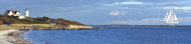
Lighthouse photo
by Tom Kleindinst, WHOI
|