 V-moor is a Sea Grant
funded project to develop a method of doing high frequency acoustic tomography
in shallow, dynamic coastal waters. Partners include Henrik Schmidt at
MIT, Jim Miller at URI and Jim Lynch and Keith von der Heydt at WHOI.
V-moor is a Sea Grant
funded project to develop a method of doing high frequency acoustic tomography
in shallow, dynamic coastal waters. Partners include Henrik Schmidt at
MIT, Jim Miller at URI and Jim Lynch and Keith von der Heydt at WHOI.
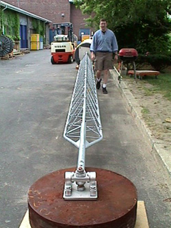
Using acoustic signals with center frequency in the 10 kHz region and one or more kHz of bandwidth, the objective is to monitor and thereby characterize water mass flow patterns for a variety of environmental purposes. The nature of the project to date has been an engineering development to design and test the concept of using carrier-phase processed Global Positioning System (GPS) data to precisely track the surface position of a constrained rigid tower mooring relative to a second site equipped with an acoustic source. A key feature of the constrained rigid geometry of this design is the ability to estimate, within a few centimeters, the distance between hydrophones on the tower and the acoustic source. The top of the tower consists of a buoy, electronics and GPS, radio Local Area Network (LAN), radio modem and control radio antennas - a small antenna farm. A precisely timed acoustic m-sequence is transmitted from a fixed dockside site about 600m from the mooring at 10-minute intervals for 10 seconds. At the mooring, an array of hydrophones along the length of the tower is co-linear with the GPS antenna on the buoy and the universal connection to an anchor. Synchronous with the source transmission, the hydrophone signals are sampled, complex demodulated and telemetered to a computer in Keith von der Heydt's office. Additional processing is done to pulse-compress the m-sequences from which source-receiver travel times can be estimated to within a fraction of a millisecond. Using the precise GPS-derived sequence of mooring antenna positions relative to the source antenna, the geometry of the source-receiver configuration can be removed, leaving the affect on travel time of the intervening water. The picture shows the first part of the mooring deployment process. The mooring is 12 meters in length, from the antenna to the anchor. It was suspended vertically from the boom on the Asterias such that about half was above the surface, then slowly towed to the Woods Hole harbor site and lowered in place. As of 5 May, the system has been operating continuously. Plans are to move the system from its present site in Woods Hole harbor to one in Jim Miller's "backyard" near the University of Rhode Island. Student help is sought to investigate the feasibility of applying tomographic techniques using the data acquired both in Woods Hole and Narragansett. |