Our Mission
The NSF's Ocean Observatories Initiative operates and maintains sophisticated instrumentation in demanding ocean locations to collect and provide data to better understand the ocean, its complexity, and how it is changing because of natural and anthropogenic processes. The OOI connects the community to a wide range of ocean platforms and sensors through its cyberinfrastructure without the need to go to sea.
A Visual journey
A Window into the Changing Planet is a short documentary that shows the beauty and fragility of the ocean and explains how scientists, students, and policymakers are using OOI data to determine how the ocean is changing, at what speed, and what it means for the planet.
OOI Updates
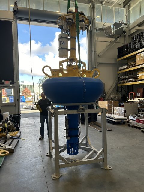
Learn about the latest OOI activities and how OOI data are changing the shape of classroom instruction and advancing ocean research.


)")


![IMG_3767[65]](https://oceanobservatories.org/wp-content/uploads/bb-plugin/cache/IMG_376765-640x480-landscape-e32a76d1afdb998041d144f18b16dff8-.jpg "IMG_3767[65]")

")

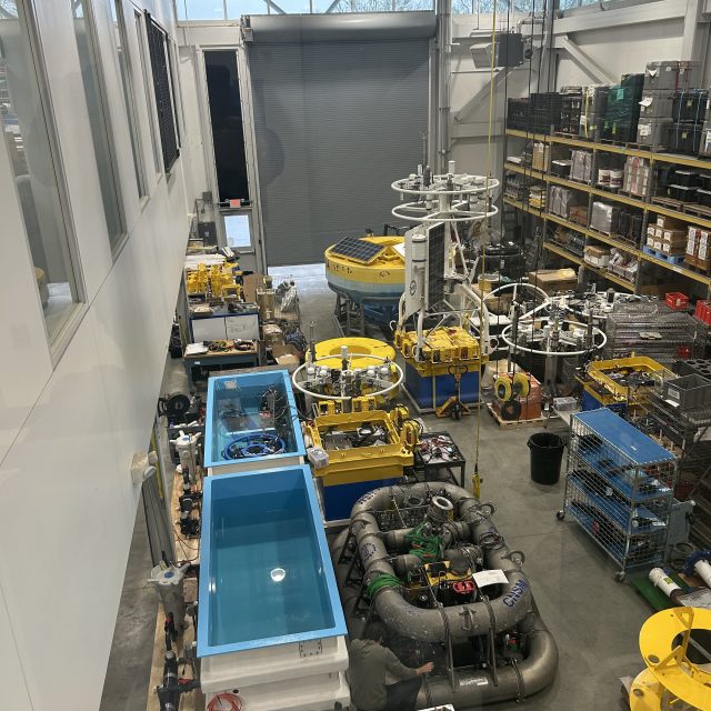
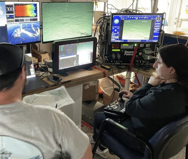
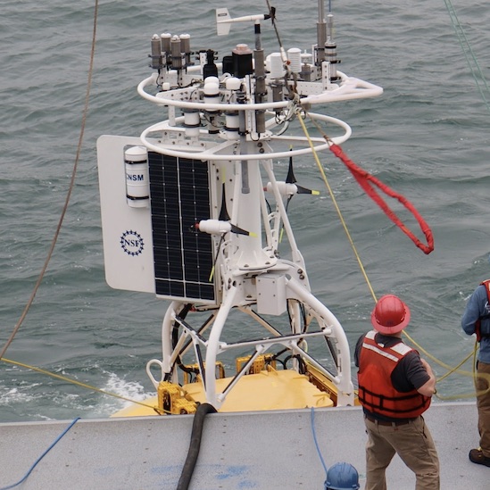
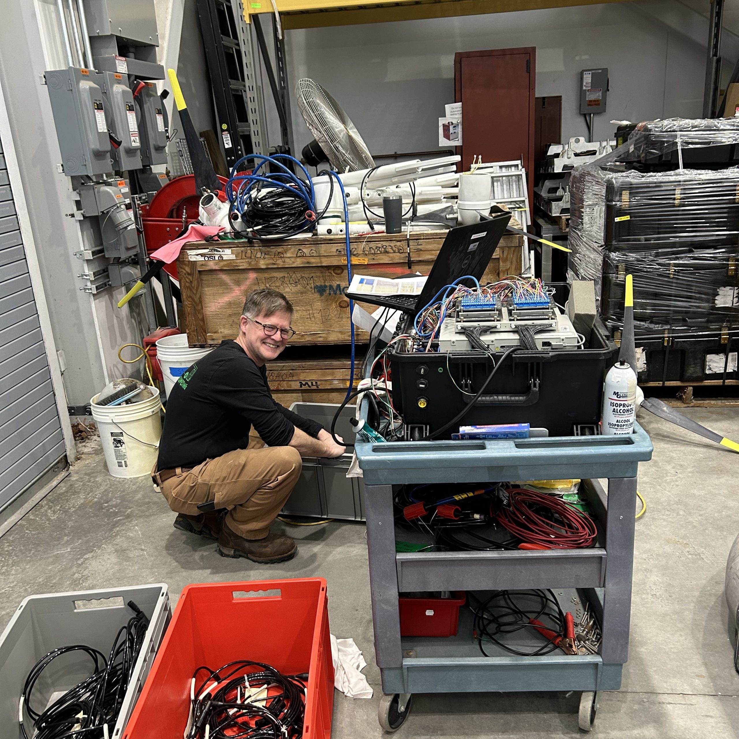
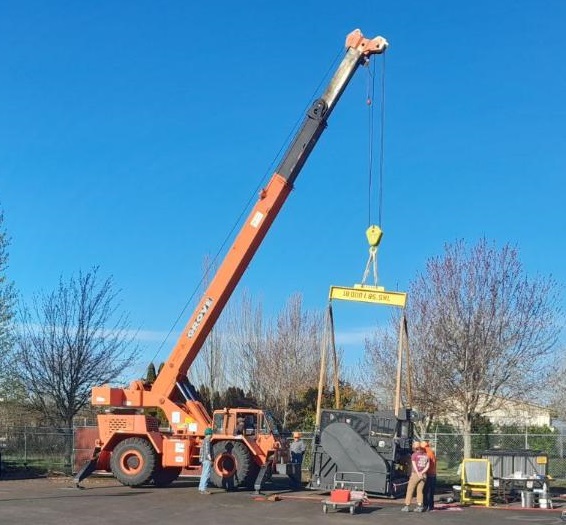
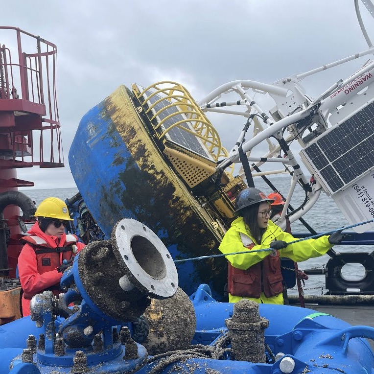
Latest Expeditions
Learn about the latest OOI expeditions that keep the OOI arrays continuously gathering so you have access to real-time ocean data around the clock from your laptop.

OOI Events
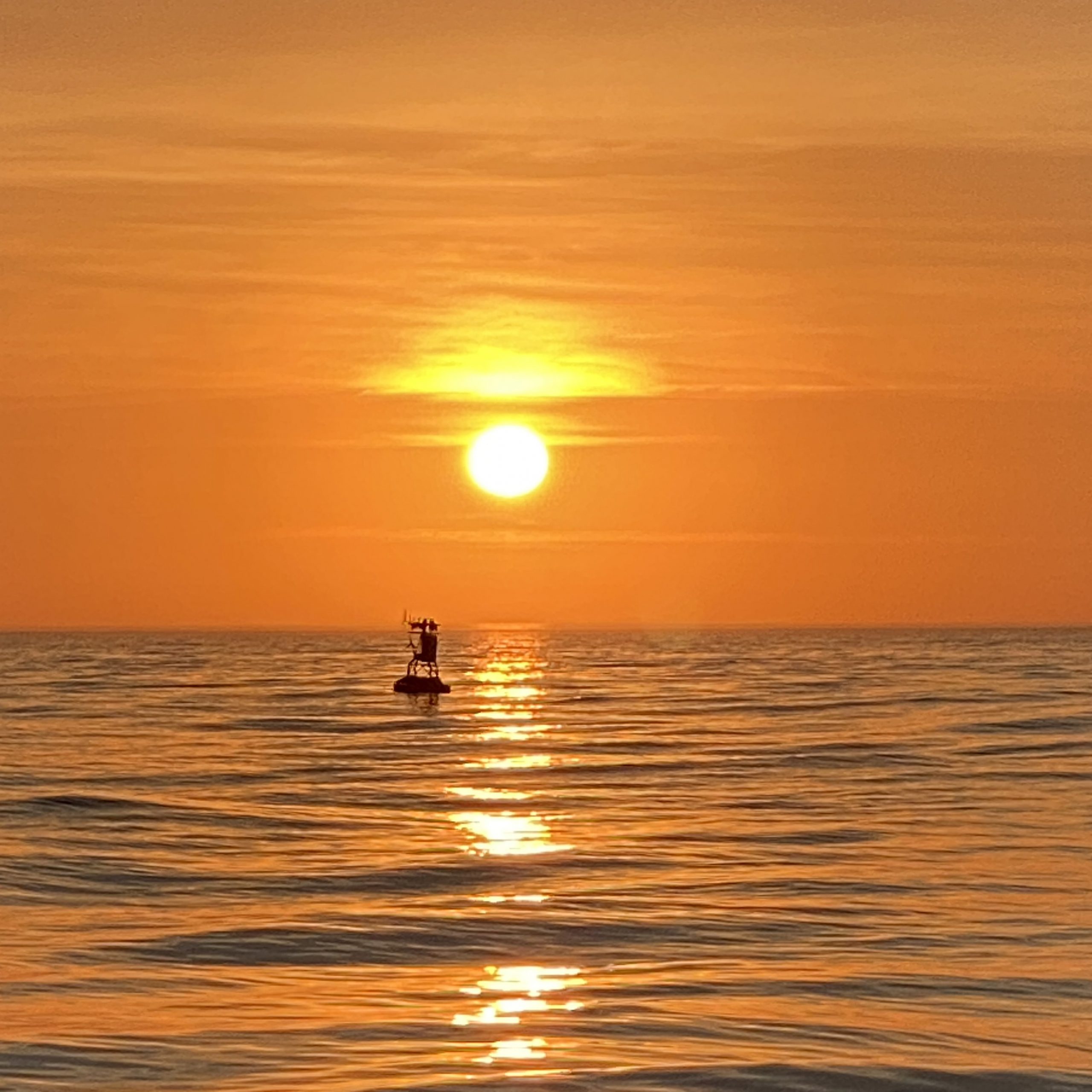
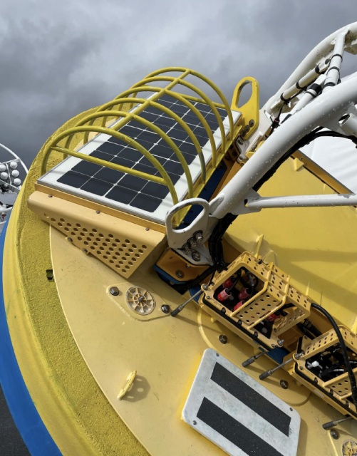
Images of the Month